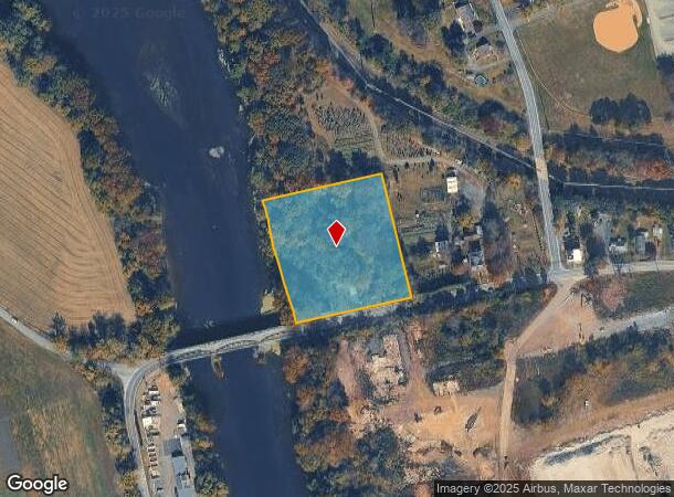
Property Record
1310 Main St, Linfield, PA 19468


NEARBY LISTINGS FOR SALE OR LEASE
Property Detail
1310 Main St
37-00-02911-004
ASSESSOR BLOCK-UNIT NUMBER 20-1
Municipalproperty
Montgomery
AE
Pennsylvania
42029C0020G
1
0
3 AC
2025
West Montgomery County
208603
Philadelphia
952 SF
Philadelphia-Camden-Wilmington, PA-NJ-DE-MD
DEMOGRAPHICS near 1310 Main St
1 Mile
3 Mile
5 Mile
2024 Total Population
1,639
33,137
96,923
2029 Population
1,670
34,152
99,554
Pop Growth 2024-2029
+ 1.89%
+ 3.06%
+ 2.71%
Average Age
48
41
40
2024 Total Households
680
13,196
37,370
HH Growth 2024-2029
+ 1.76%
+ 3.11%
+ 2.77%
Median Household Inc
$80,193
$87,737
$89,011
Avg Household Size
2.40
2.40
2.50
2024 Avg HH Vehicles
2.00
2.00
2.00
Median Home Value
$332,272
$289,267
$293,696
Median Year Built
1974
1983
1976
Nearby Places
Map Layers
Map Styles
 Street
 Aerial
- Restaurants
- Banks
- Shops
- Fitness
- Groceries
PUBLIC TRANSPORTATION
AIRPORT
Philadelphia International
DRIVE
WALK
Distance
Philadelphia International
65 min
42.4 mi
Freight Ports
South Jersey Port
DRIVE
WALK
Distance
South Jersey Port
59 min
38.5 mi
SALE & LEASE HISTORY
LISTING DATE
SALE/LEASE

Sep 24, 2016
For Sale
Nearby Properties
Address
Land Use
TOTAL SIZE
Lot Size
Zoning
Address
Land Use
TOTAL SIZE
Lot Size
Zoning
605,161 SF
78.08 AC
LLI
Address
Land Use
TOTAL SIZE
Lot Size
Zoning
208,637 SF
13.37 AC
AG
Address
Land Use
TOTAL SIZE
Lot Size
Zoning
368,083 SF
126.15 AC
R2
Address
Land Use
TOTAL SIZE
Lot Size
Zoning
1,298,806 SF
305.46 AC
HI
Address
Land Use
TOTAL SIZE
Lot Size
Zoning
268,366 SF
32.55 AC
R4
Address
Land Use
TOTAL SIZE
Lot Size
Zoning
240,140 SF
31.50 AC
R3
Address
Land Use
TOTAL SIZE
Lot Size
Zoning
407,301 SF
8.04 AC
ARU
Address
Land Use
TOTAL SIZE
Lot Size
Zoning
97,188 SF
13.13 AC
OLI
Address
Land Use
TOTAL SIZE
Lot Size
Zoning
134,334 SF
21.95 AC
RB
Address
Land Use
TOTAL SIZE
Lot Size
Zoning
68,378 SF
27 AC
R3
Address
Land Use
TOTAL SIZE
Lot Size
Zoning
147,444 SF
16.09 AC
LLI
Address
Land Use
TOTAL SIZE
Lot Size
Zoning
84,953 SF
51.29 AC
R2
Address
Land Use
TOTAL SIZE
Lot Size
Zoning
94,997 SF
6 AC
R3
Address
Land Use
TOTAL SIZE
Lot Size
Zoning
214,914 SF
48.17 AC
OLI
Address
Land Use
TOTAL SIZE
Lot Size
Zoning
222,272 SF
21.60 AC
OLI
Address
Land Use
TOTAL SIZE
Lot Size
Zoning
83,629 SF
7.29 AC
R2
Address
Land Use
TOTAL SIZE
Lot Size
Zoning
681,836 SF
40.12 AC
HI
Address
Land Use
TOTAL SIZE
Lot Size
Zoning
136,807 SF
3 AC
R2
Address
Land Use
TOTAL SIZE
Lot Size
Zoning
68,775 SF
14.91 AC
OLI
Address
Land Use
TOTAL SIZE
Lot Size
Zoning
73,584 SF
0.74 AC
LI
Address
Land Use
TOTAL SIZE
Lot Size
Zoning
73,584 SF
0.64 AC
LI
Address
Land Use
TOTAL SIZE
Lot Size
Zoning
73,584 SF
0.72 AC
LI
Address
Land Use
TOTAL SIZE
Lot Size
Zoning
73,584 SF
0.68 AC
LI
Address
Land Use
TOTAL SIZE
Lot Size
Zoning
0.70 AC
LI
Address
Land Use
TOTAL SIZE
Lot Size
Zoning
86,532 SF
13 AC
R3
Address
Land Use
TOTAL SIZE
Lot Size
Zoning
115,054 SF
6.97 AC
R12
Address
Land Use
TOTAL SIZE
Lot Size
Zoning
70,315 SF
15.64 AC
R4
Address
Land Use
TOTAL SIZE
Lot Size
Zoning
39,310 SF
4.63 AC
OLI
Address
Land Use
TOTAL SIZE
Lot Size
Zoning
74,550 SF
19.60 AC
R2
Address
Land Use
TOTAL SIZE
Lot Size
Zoning
12,382 SF
10.13 AC
OLI
The World's #1 Commercial Real Estate Marketplace
Connect with us
© 2025 CoStar Group
The information above has been obtained from sources believed reliable. While we do not doubt its accuracy we have not verified it and make no guarantee, warranty or representation about it. It is your responsibility to independently confirm its accuracy and completeness. Any projections, opinions, assumptions, or estimates used are for example only and do not represent the current or future performance of the property. The value of this transaction to you depends on tax and other factors which should be evaluated by your tax, financial, and legal advisors. You and your advisors should conduct a careful, independent investigation of the property to determine to your satisfaction the suitability of the property for your needs.