Property Record
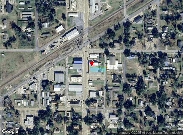
1315 Horridge St, Vinton, LA 70668

NEARBY LISTINGS FOR SALE OR LEASE
-
-
View all Vinton listings for sale on LoopNet.com
Property Detail
1315 Horridge St
Lake Charles, LA
Subdivision Vinton
00711225
@151012-1992-6 0024 0000 @151012-1992-6 0025 0000 LOTS 24, 25 BLK 6 O T S VINTON VINTON IMPS/09 REF1- CALCASIEU MARINE NATION
Storebuilding
Calcasieu
X
Louisiana
22019C0404F
24-25
2024
0.01 AC
2024
Lake Charles
003500
Other Market Areas
DEMOGRAPHICS near 1315 Horridge St
1 Mile
3 Mile
5 Mile
2024 Total Population
2,872
3,814
4,884
2029 Population
2,674
3,550
4,549
Pop Growth 2024-2029
(6.89%)
(6.92%)
(6.86%)
Average Age
38
39
39
2024 Total Households
1,121
1,477
1,884
HH Growth 2024-2029
(6.42%)
(6.36%)
(6.32%)
Median Household Inc
$37,359
$38,183
$40,899
Avg Household Size
2.60
2.60
2.60
2024 Avg HH Vehicles
2.00
2.00
2.00
Median Home Value
$108,511
$111,878
$121,513
Median Year Built
1972
1976
1980
Nearby Places
Map Layers
Map Styles
 Street
 Aerial
- Restaurants
- Banks
- Shops
- Fitness
- Groceries
PUBLIC TRANSPORTATION
AIRPORT
Lake Charles Regional
DRIVE
WALK
Distance
Lake Charles Regional
39 min
29.1 mi
Freight Ports
Port of Orange
DRIVE
WALK
Distance
Port of Orange
26 min
16.8 mi
Nearby Properties
Address
Land Use
TOTAL SIZE
Lot Size
Zoning
Address
Land Use
TOTAL SIZE
Lot Size
Zoning
185.46 AC
Address
Land Use
TOTAL SIZE
Lot Size
Zoning
Address
Land Use
TOTAL SIZE
Lot Size
Zoning
9.97 AC
Address
Land Use
TOTAL SIZE
Lot Size
Zoning
0.01 AC
Address
Land Use
TOTAL SIZE
Lot Size
Zoning
35.56 AC
Address
Land Use
TOTAL SIZE
Lot Size
Zoning
4.39 AC
Address
Land Use
TOTAL SIZE
Lot Size
Zoning
24.28 AC
Address
Land Use
TOTAL SIZE
Lot Size
Zoning
Address
Land Use
TOTAL SIZE
Lot Size
Zoning
0.02 AC
Address
Land Use
TOTAL SIZE
Lot Size
Zoning
0.01 AC
Address
Land Use
TOTAL SIZE
Lot Size
Zoning
Address
Land Use
TOTAL SIZE
Lot Size
Zoning
12.66 AC
Address
Land Use
TOTAL SIZE
Lot Size
Zoning
Address
Land Use
TOTAL SIZE
Lot Size
Zoning
0.02 AC
Address
Land Use
TOTAL SIZE
Lot Size
Zoning
0.41 AC
Address
Land Use
TOTAL SIZE
Lot Size
Zoning
0.02 AC
Address
Land Use
TOTAL SIZE
Lot Size
Zoning
Address
Land Use
TOTAL SIZE
Lot Size
Zoning
17.10 AC
Address
Land Use
TOTAL SIZE
Lot Size
Zoning
Address
Land Use
TOTAL SIZE
Lot Size
Zoning
6.91 AC
Address
Land Use
TOTAL SIZE
Lot Size
Zoning
0.01 AC
Address
Land Use
TOTAL SIZE
Lot Size
Zoning
0.01 AC
Address
Land Use
TOTAL SIZE
Lot Size
Zoning
0.02 AC
Address
Land Use
TOTAL SIZE
Lot Size
Zoning
0.02 AC
Address
Land Use
TOTAL SIZE
Lot Size
Zoning
937 AC
Address
Land Use
TOTAL SIZE
Lot Size
Zoning
0.02 AC
Address
Land Use
TOTAL SIZE
Lot Size
Zoning
0.01 AC
Address
Land Use
TOTAL SIZE
Lot Size
Zoning
651.63 AC
Address
Land Use
TOTAL SIZE
Lot Size
Zoning
0.02 AC
The World's #1 Commercial Real Estate Marketplace
Connect with us
© 2025 CoStar Group
The information above has been obtained from sources believed reliable. While we do not doubt its accuracy we have not verified it and make no guarantee, warranty or representation about it. It is your responsibility to independently confirm its accuracy and completeness. Any projections, opinions, assumptions, or estimates used are for example only and do not represent the current or future performance of the property. The value of this transaction to you depends on tax and other factors which should be evaluated by your tax, financial, and legal advisors. You and your advisors should conduct a careful, independent investigation of the property to determine to your satisfaction the suitability of the property for your needs.