Property Record
1320 E Orange Ave, Eustis, FL 32726


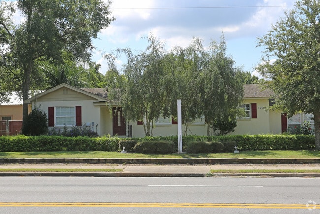
Property Detail
1320 E Orange Ave
12-19-26-0002-000-11300
BEG ON S LINE OF ORANGE AVE 1316.9 FT E OF W LINE OF SEC RUN S 280 FT W 150.25 FT N 280 FT E TO POB ORB 5472 PG 696
Religious
Lake
PI
Florida
B and X Area of moderate flood hazard, usually the area between the limits of the 100-year and 500-year floods.
113
0
0.97 AC
2026
Lake County
030204
Orlando
3,070 SF
Orlando-Kissimmee-Sanford, FL
NEARBY LISTINGS FOR SALE OR LEASE
DEMOGRAPHICS near 1320 E Orange Ave
1 mile
3 mile
5 mile
2025 Total Population
9,787
37,294
78,460
2030 Population
11,084
42,252
89,214
Pop Growth 2025-2030
+ 13.25%
+ 13.29%
+ 13.71%
Average Age
40
44
45
2025 Total Households
3,772
15,789
33,542
HH Growth 2025-2030
+ 13.41%
+ 13.52%
+ 13.93%
Median Household Inc
$64,685
$63,467
$66,644
Avg Household Size
2.50
2.30
2.30
2025 Avg HH Vehicles
2.00
2.00
2.00
Median Home Value
$241,065
$285,125
$296,664
Median Year Built
1976
1984
1987
Nearby Places
Map Layers
Map Styles
 Street
 Aerial
Transit
 Traffic
 Biking
Places
Listings with unknown addresses are not visible on the map
- Restaurants
- Banks
- Shops
- Fitness
- Groceries
PUBLIC TRANSPORTATION
AIRPORT
Orlando Sanford International
Drive
Walk
Distance
Orlando Sanford International
54 min
34.3 mi
Orlando International
Drive
Walk
Distance
Orlando International
66 min
48.7 mi
SALE & LEASE HISTORY
LISTING DATE
SALE/LEASE

Oct 01, 2018
For Sale
Nearby Properties
Address
Land Use
TOTAL SIZE
Lot Size
Zoning
Address
Land Use
TOTAL SIZE
Lot Size
Zoning
302,511 SF
23.16 AC
Address
Land Use
TOTAL SIZE
Lot Size
Zoning
278,266 SF
23.85 AC
PD
Address
Land Use
TOTAL SIZE
Lot Size
Zoning
308,464 SF
37.14 AC
PUD
Address
Land Use
TOTAL SIZE
Lot Size
Zoning
226,508 SF
19.15 AC
Address
Land Use
TOTAL SIZE
Lot Size
Zoning
158,442 SF
17.50 AC
MCI
Address
Land Use
TOTAL SIZE
Lot Size
Zoning
267,107 SF
20.40 AC
R1
Address
Land Use
TOTAL SIZE
Lot Size
Zoning
204,433 SF
28.43 AC
R1
Address
Land Use
TOTAL SIZE
Lot Size
Zoning
135,298 SF
9.22 AC
SR
Address
Land Use
TOTAL SIZE
Lot Size
Zoning
190,551 SF
20.31 AC
GC
Address
Land Use
TOTAL SIZE
Lot Size
Zoning
72,852 SF
10.91 AC
Address
Land Use
TOTAL SIZE
Lot Size
Zoning
95,803 SF
6.13 AC
CP
Address
Land Use
TOTAL SIZE
Lot Size
Zoning
36,261 SF
6.27 AC
PD
Address
Land Use
TOTAL SIZE
Lot Size
Zoning
157,511 SF
15.28 AC
Address
Land Use
TOTAL SIZE
Lot Size
Zoning
71,076 SF
1.42 AC
Address
Land Use
TOTAL SIZE
Lot Size
Zoning
174,744 SF
38.45 AC
GI
Address
Land Use
TOTAL SIZE
Lot Size
Zoning
79,296 SF
8.54 AC
R3
Address
Land Use
TOTAL SIZE
Lot Size
Zoning
129,512 SF
15 AC
Address
Land Use
TOTAL SIZE
Lot Size
Zoning
94,435 SF
8.16 AC
GC
Address
Land Use
TOTAL SIZE
Lot Size
Zoning
50,754 SF
17.31 AC
R1
Address
Land Use
TOTAL SIZE
Lot Size
Zoning
64,730 SF
6.38 AC
C3
Address
Land Use
TOTAL SIZE
Lot Size
Zoning
106,175 SF
8.10 AC
UR
Address
Land Use
TOTAL SIZE
Lot Size
Zoning
131.72 AC
R6
Address
Land Use
TOTAL SIZE
Lot Size
Zoning
115,293 SF
8.45 AC
Address
Land Use
TOTAL SIZE
Lot Size
Zoning
77,567 SF
5.14 AC
UR
Address
Land Use
TOTAL SIZE
Lot Size
Zoning
100,117 SF
7.45 AC
GC
Address
Land Use
TOTAL SIZE
Lot Size
Zoning
116,261 SF
5.66 AC
Address
Land Use
TOTAL SIZE
Lot Size
Zoning
60,476 SF
6.76 AC
MCR
Address
Land Use
TOTAL SIZE
Lot Size
Zoning
70,525 SF
37.62 AC
R2
Address
Land Use
TOTAL SIZE
Lot Size
Zoning
44,275 SF
22.50 AC
C1
Address
Land Use
TOTAL SIZE
Lot Size
Zoning
12,573 SF
43.71 AC
A
The World's #1 Commercial Real Estate Marketplace
Connect with us
© 2026 CoStar Group
The information above has been obtained from sources believed reliable. While we do not doubt its accuracy we have not verified it and make no guarantee, warranty or representation about it. It is your responsibility to independently confirm its accuracy and completeness. Any projections, opinions, assumptions, or estimates used are for example only and do not represent the current or future performance of the property. The value of this transaction to you depends on tax and other factors which should be evaluated by your tax, financial, and legal advisors. You and your advisors should conduct a careful, independent investigation of the property to determine to your satisfaction the suitability of the property for your needs.