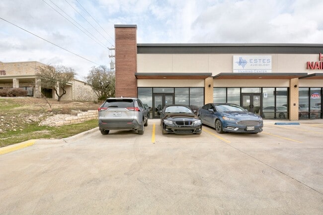
Property Record
13210 W Highway 290, Dripping Springs, TX 78620

Property Detail
13210 W Highway 290
Austin-Round Rock-San Marcos, TX
HERITAGE WEST, LOT 21A, ACRES 2.057
R154929
HAYS
Commercialnec
Texas
B and X Area of moderate flood hazard, usually the area between the limits of the 100-year and 500-year floods.
21a
2024
2.06 AC
2025
Hays County
010817
Austin
9,450 SF
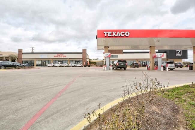
NEARBY LISTINGS FOR SALE OR LEASE
DEMOGRAPHICS near 13210 W Highway 290
1 mile
3 mile
5 mile
2025 Total Population
7,298
19,213
41,237
2030 Population
8,451
22,276
46,744
Pop Growth 2025-2030
+ 15.80%
+ 15.94%
+ 13.35%
Average Age
39
40
40
2025 Total Households
2,526
6,668
14,183
HH Growth 2025-2030
+ 16.98%
+ 16.99%
+ 14.50%
Median Household Inc
$182,376
$179,342
$183,957
Avg Household Size
2.90
2.90
2.90
2025 Avg HH Vehicles
2.00
2.00
2.00
Median Home Value
$755,283
$782,260
$803,393
Median Year Built
2008
2010
2010
Nearby Places
Map Layers
Map Styles
 Street
 Aerial
Transit
 Traffic
 Biking
Places
Listings with unknown addresses are not visible on the map
- Restaurants
- Banks
- Shops
- Fitness
- Groceries
PUBLIC TRANSPORTATION
AIRPORT
Austin-Bergstrom International
Drive
Walk
Distance
Austin-Bergstrom International
38 min
23.3 mi
Freight Ports
Calhoun Port
Drive
Walk
Distance
Calhoun Port
203 min
166.7 mi
SALE & LEASE HISTORY
LISTING DATE
SALE/LEASE

Sep 26, 2019
For Lease
May 21, 2018
For Lease
Jan 05, 2022
For Lease
Nearby Properties
Address
Land Use
TOTAL SIZE
Lot Size
Zoning
Address
Land Use
TOTAL SIZE
Lot Size
Zoning
399,662 SF
16.72 AC
Address
Land Use
TOTAL SIZE
Lot Size
Zoning
324,987 SF
8.29 AC
Address
Land Use
TOTAL SIZE
Lot Size
Zoning
191,928 SF
4.79 AC
Address
Land Use
TOTAL SIZE
Lot Size
Zoning
219,299 SF
4.89 AC
Address
Land Use
TOTAL SIZE
Lot Size
Zoning
275,753 SF
15.68 AC
Address
Land Use
TOTAL SIZE
Lot Size
Zoning
64,670 SF
13.53 AC
Address
Land Use
TOTAL SIZE
Lot Size
Zoning
231,472 SF
9.53 AC
Address
Land Use
TOTAL SIZE
Lot Size
Zoning
199,572 SF
9.63 AC
Address
Land Use
TOTAL SIZE
Lot Size
Zoning
103,045 SF
59.39 AC
Address
Land Use
TOTAL SIZE
Lot Size
Zoning
77,801 SF
14.49 AC
Address
Land Use
TOTAL SIZE
Lot Size
Zoning
121,400 SF
28.99 AC
Address
Land Use
TOTAL SIZE
Lot Size
Zoning
59,133 SF
13.33 AC
Address
Land Use
TOTAL SIZE
Lot Size
Zoning
37,380 SF
4.35 AC
Address
Land Use
TOTAL SIZE
Lot Size
Zoning
101,453 SF
14.29 AC
Address
Land Use
TOTAL SIZE
Lot Size
Zoning
600 SF
12.61 AC
Address
Land Use
TOTAL SIZE
Lot Size
Zoning
47,530 SF
16.08 AC
Address
Land Use
TOTAL SIZE
Lot Size
Zoning
33,145 SF
2.70 AC
Address
Land Use
TOTAL SIZE
Lot Size
Zoning
18.29 AC
Address
Land Use
TOTAL SIZE
Lot Size
Zoning
3 SF
14.51 AC
Address
Land Use
TOTAL SIZE
Lot Size
Zoning
82,488 SF
20.23 AC
Address
Land Use
TOTAL SIZE
Lot Size
Zoning
15,750 SF
1.94 AC
Address
Land Use
TOTAL SIZE
Lot Size
Zoning
17,987 SF
12.07 AC
Address
Land Use
TOTAL SIZE
Lot Size
Zoning
15,000 SF
8.73 AC
Address
Land Use
TOTAL SIZE
Lot Size
Zoning
39,650 SF
9.17 AC
Address
Land Use
TOTAL SIZE
Lot Size
Zoning
15,639 SF
2.10 AC
Address
Land Use
TOTAL SIZE
Lot Size
Zoning
4,852 SF
20.76 AC
Address
Land Use
TOTAL SIZE
Lot Size
Zoning
14,880 SF
1.96 AC
Address
Land Use
TOTAL SIZE
Lot Size
Zoning
20,860 SF
5.13 AC
Address
Land Use
TOTAL SIZE
Lot Size
Zoning
12,592 SF
3.74 AC
Address
Land Use
TOTAL SIZE
Lot Size
Zoning
8,221 SF
10.01 AC
The World's #1 Commercial Real Estate Marketplace
Connect with us
© 2026 CoStar Group
The information above has been obtained from sources believed reliable. While we do not doubt its accuracy we have not verified it and make no guarantee, warranty or representation about it. It is your responsibility to independently confirm its accuracy and completeness. Any projections, opinions, assumptions, or estimates used are for example only and do not represent the current or future performance of the property. The value of this transaction to you depends on tax and other factors which should be evaluated by your tax, financial, and legal advisors. You and your advisors should conduct a careful, independent investigation of the property to determine to your satisfaction the suitability of the property for your needs.