Property Record
13242 Highway 80, Lakeside, CA 92040
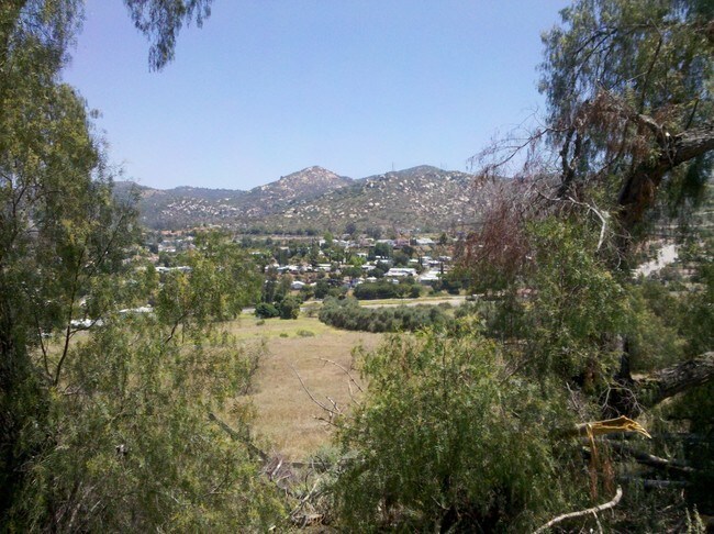

Property Detail
13242 Highway 80
San Diego-Chula Vista-Carlsbad, CA
BLK 17 LOT 16 (EX ST)PAR D PER DOC07-0758216 IN TR 000355
397-291-18
SAN DIEGO
Commercialacreage
California
M52
16
B and X Area of moderate flood hazard, usually the area between the limits of the 100-year and 500-year floods.
0.93 AC
2024
East County
2025
San Diego
016804
NEARBY LISTINGS FOR SALE OR LEASE
DEMOGRAPHICS near 13242 Highway 80
1 mile
3 mile
5 mile
2025 Total Population
12,050
97,487
222,872
2030 Population
12,012
97,500
222,717
Pop Growth 2025-2030
(0.32%)
+ 0.01%
(0.07%)
Average Age
41
40
40
2025 Total Households
4,051
32,846
75,234
HH Growth 2025-2030
(0.47%)
(0.14%)
(0.23%)
Median Household Inc
$114,626
$90,030
$87,635
Avg Household Size
2.90
2.90
2.80
2025 Avg HH Vehicles
2.00
2.00
2.00
Median Home Value
$633,791
$668,211
$702,522
Median Year Built
1977
1976
1976
Nearby Places
Map Layers
Map Styles
 Street
 Aerial
Layers
 Traffic
 Biking
Places
Listings with unknown addresses are not visible on the map
- Restaurants
- Banks
- Shops
- Fitness
- Groceries
PUBLIC TRANSPORTATION
AIRPORT
San Diego International
Drive
Walk
Distance
San Diego International
30 min
21.4 mi
Freight Ports
Port of San Diego
Drive
Walk
Distance
Port of San Diego
28 min
20.3 mi
Nearby Properties
Address
Land Use
TOTAL SIZE
Lot Size
Zoning
Address
Land Use
TOTAL SIZE
Lot Size
Zoning
6.12 AC
RM-2200
Address
Land Use
TOTAL SIZE
Lot Size
Zoning
5.77 AC
RU
Address
Land Use
TOTAL SIZE
Lot Size
Zoning
9.38 AC
RU
Address
Land Use
TOTAL SIZE
Lot Size
Zoning
64,900 SF
4.55 AC
RM-2200
Address
Land Use
TOTAL SIZE
Lot Size
Zoning
38.80 AC
RMH8
Address
Land Use
TOTAL SIZE
Lot Size
Zoning
4.93 AC
C36
Address
Land Use
TOTAL SIZE
Lot Size
Zoning
4.75 AC
C-6
Address
Land Use
TOTAL SIZE
Lot Size
Zoning
4.69 AC
RU
Address
Land Use
TOTAL SIZE
Lot Size
Zoning
81,896 SF
3.74 AC
RM-2200
Address
Land Use
TOTAL SIZE
Lot Size
Zoning
95,024 SF
2.89 AC
RM-2200
Address
Land Use
TOTAL SIZE
Lot Size
Zoning
70,656 SF
2.67 AC
RM-2200
Address
Land Use
TOTAL SIZE
Lot Size
Zoning
67,722 SF
3.57 AC
RM-2500
Address
Land Use
TOTAL SIZE
Lot Size
Zoning
2,736 SF
32.31 AC
RS-20
Address
Land Use
TOTAL SIZE
Lot Size
Zoning
14.80 AC
S88
Address
Land Use
TOTAL SIZE
Lot Size
Zoning
56,525 SF
6.29 AC
S88
Address
Land Use
TOTAL SIZE
Lot Size
Zoning
87,704 SF
3.74 AC
RU
Address
Land Use
TOTAL SIZE
Lot Size
Zoning
35.63 AC
S88
Address
Land Use
TOTAL SIZE
Lot Size
Zoning
57,840 SF
5.59 AC
R7
Address
Land Use
TOTAL SIZE
Lot Size
Zoning
61,941 SF
4.58 AC
C-N
Address
Land Use
TOTAL SIZE
Lot Size
Zoning
90,936 SF
3.70 AC
C34
Address
Land Use
TOTAL SIZE
Lot Size
Zoning
35,424 SF
3.13 AC
RV
Address
Land Use
TOTAL SIZE
Lot Size
Zoning
77,280 SF
2.91 AC
RU
Address
Land Use
TOTAL SIZE
Lot Size
Zoning
11,285 SF
2.81 AC
C37
Address
Land Use
TOTAL SIZE
Lot Size
Zoning
51,600 SF
4.30 AC
C-G
Address
Land Use
TOTAL SIZE
Lot Size
Zoning
3,368 SF
33.63 AC
RMH6
Address
Land Use
TOTAL SIZE
Lot Size
Zoning
35,028 SF
1.57 AC
RM-2200
Address
Land Use
TOTAL SIZE
Lot Size
Zoning
33,638 SF
1.73 AC
RV
Address
Land Use
TOTAL SIZE
Lot Size
Zoning
43,500 SF
3.79 AC
C34
Address
Land Use
TOTAL SIZE
Lot Size
Zoning
7.01 AC
RU
Address
Land Use
TOTAL SIZE
Lot Size
Zoning
50,304 SF
1.68 AC
RM-2200
The World's #1 Commercial Real Estate Marketplace
Connect with us
© 2026 CoStar Group
The information above has been obtained from sources believed reliable. While we do not doubt its accuracy we have not verified it and make no guarantee, warranty or representation about it. It is your responsibility to independently confirm its accuracy and completeness. Any projections, opinions, assumptions, or estimates used are for example only and do not represent the current or future performance of the property. The value of this transaction to you depends on tax and other factors which should be evaluated by your tax, financial, and legal advisors. You and your advisors should conduct a careful, independent investigation of the property to determine to your satisfaction the suitability of the property for your needs.