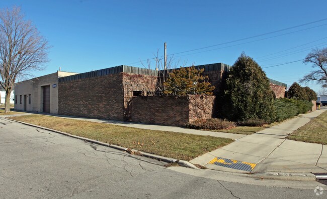
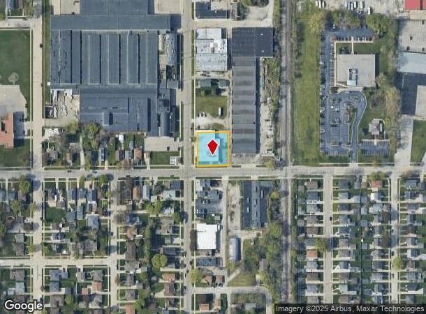
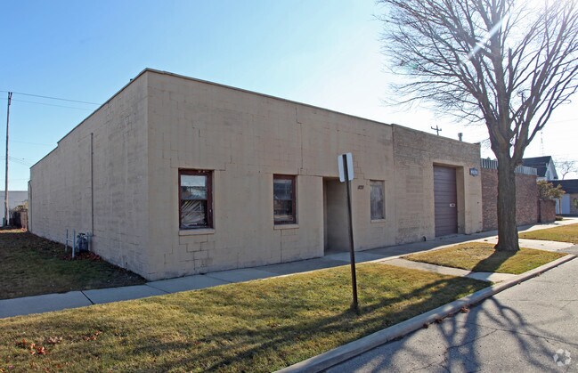
Property Record
1326 35Th St, Kenosha, WI 53140
NEARBY LISTINGS FOR SALE OR LEASE
Property Detail
1326 35Th St
Chicago-Naperville-Elgin, IL-IN-WI
Kenosha La
11-223-30-205-012
PT OF NW 1/4 SEC 30 T 2 R 23 LOTS 13-16 B 2 KENOSHA LAND & IMPROVEMENT CO'S SUB KNOWN AS NORTH KENOSHA 1978 DOPC#1744110
Commercialnec
Kenosha
X
Wisconsin
55059C0202E
13-16
2024
0.41 AC
2024
Kenosha East
000400
Chicago
11,398 SF
DEMOGRAPHICS near 1326 35Th St
1 Mile
3 Mile
5 Mile
2024 Total Population
12,013
66,747
102,424
2029 Population
11,817
65,758
101,373
Pop Growth 2024-2029
(1.63%)
(1.48%)
(1.03%)
Average Age
37
38
40
2024 Total Households
4,338
26,785
41,051
HH Growth 2024-2029
(1.50%)
(1.39%)
(1.02%)
Median Household Inc
$54,655
$57,289
$64,171
Avg Household Size
2.30
2.30
2.30
2024 Avg HH Vehicles
2.00
2.00
2.00
Median Home Value
$161,377
$179,888
$197,701
Median Year Built
1955
1963
1968
Nearby Places
Map Layers
Map Styles
 Street
 Aerial
- Restaurants
- Banks
- Shops
- Fitness
- Groceries
PUBLIC TRANSPORTATION
COMMUTER RAIL
Kenosha Station (Union Pacific North Line - Northeast Illinois Regional Commuter Railroad (Metra))
DRIVE
WALK
Distance
Kenosha Station (Union Pacific North Line - Northeast Illinois Regional Commuter Railroad (Metra))
4 min
1.7 mi
Winthrop Harbor Station (Union Pacific North Line - Northeast Illinois Regional Commuter Railroad (Metra))
DRIVE
WALK
Distance
Winthrop Harbor Station (Union Pacific North Line - Northeast Illinois Regional Commuter Railroad (Metra))
18 min
9.2 mi
AIRPORT
General Mitchell International
DRIVE
WALK
Distance
General Mitchell International
43 min
31.7 mi
Freight Ports
Port Milwaukee
DRIVE
WALK
Distance
Port Milwaukee
48 min
35.6 mi
Nearby Properties
Address
Land Use
TOTAL SIZE
Lot Size
Zoning
Address
Land Use
TOTAL SIZE
Lot Size
Zoning
3,886 SF
20.04 AC
Address
Land Use
TOTAL SIZE
Lot Size
Zoning
30.04 AC
Address
Land Use
TOTAL SIZE
Lot Size
Zoning
183,173 SF
9.73 AC
RM3
Address
Land Use
TOTAL SIZE
Lot Size
Zoning
16,466 SF
19.09 AC
RM2
Address
Land Use
TOTAL SIZE
Lot Size
Zoning
32,245 SF
22 AC
RM2
Address
Land Use
TOTAL SIZE
Lot Size
Zoning
21,072 SF
24.33 AC
RM2
Address
Land Use
TOTAL SIZE
Lot Size
Zoning
26,016 SF
14.02 AC
FW
Address
Land Use
TOTAL SIZE
Lot Size
Zoning
26,500 SF
17.79 AC
RM2
Address
Land Use
TOTAL SIZE
Lot Size
Zoning
85,469 SF
11.30 AC
Address
Land Use
TOTAL SIZE
Lot Size
Zoning
176,978 SF
24.81 AC
Address
Land Use
TOTAL SIZE
Lot Size
Zoning
10.37 AC
IP
Address
Land Use
TOTAL SIZE
Lot Size
Zoning
88,473 SF
8.98 AC
B2
Address
Land Use
TOTAL SIZE
Lot Size
Zoning
15,084 SF
34.20 AC
Address
Land Use
TOTAL SIZE
Lot Size
Zoning
25,775 SF
3.43 AC
Address
Land Use
TOTAL SIZE
Lot Size
Zoning
28,815 SF
1.04 AC
B3
Address
Land Use
TOTAL SIZE
Lot Size
Zoning
134,270 SF
17.17 AC
Address
Land Use
TOTAL SIZE
Lot Size
Zoning
0.62 AC
Address
Land Use
TOTAL SIZE
Lot Size
Zoning
12.38 AC
M1
Address
Land Use
TOTAL SIZE
Lot Size
Zoning
63,500 SF
5.81 AC
RM2
Address
Land Use
TOTAL SIZE
Lot Size
Zoning
147,040 SF
2.50 AC
RM2
Address
Land Use
TOTAL SIZE
Lot Size
Zoning
59,660 SF
1.22 AC
RM3
Address
Land Use
TOTAL SIZE
Lot Size
Zoning
10,170 SF
4.16 AC
Address
Land Use
TOTAL SIZE
Lot Size
Zoning
84,950 SF
8.11 AC
Address
Land Use
TOTAL SIZE
Lot Size
Zoning
31,650 SF
7.62 AC
FW
Address
Land Use
TOTAL SIZE
Lot Size
Zoning
319,640 SF
19.20 AC
M1
Address
Land Use
TOTAL SIZE
Lot Size
Zoning
9,860 SF
14.55 AC
RM2
Address
Land Use
TOTAL SIZE
Lot Size
Zoning
32,000 SF
3.97 AC
IP
Address
Land Use
TOTAL SIZE
Lot Size
Zoning
116,227 SF
10.60 AC
B2
Address
Land Use
TOTAL SIZE
Lot Size
Zoning
3.72 AC
Address
Land Use
TOTAL SIZE
Lot Size
Zoning
6.03 AC
M2
The World's #1 Commercial Real Estate Marketplace
Connect with us
© 2025 CoStar Group
The information above has been obtained from sources believed reliable. While we do not doubt its accuracy we have not verified it and make no guarantee, warranty or representation about it. It is your responsibility to independently confirm its accuracy and completeness. Any projections, opinions, assumptions, or estimates used are for example only and do not represent the current or future performance of the property. The value of this transaction to you depends on tax and other factors which should be evaluated by your tax, financial, and legal advisors. You and your advisors should conduct a careful, independent investigation of the property to determine to your satisfaction the suitability of the property for your needs.