Property Record
13281 Randall Rd, Hammond, LA 70401
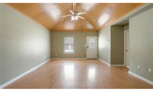


Property Detail
13281 Randall Rd
06136702
1.45A IN SE14 OF SEC 16 T6SR7E B974 P382 LESS 25 X 15 FT STRIP SOLD AT 1006270 B1011 P880 B1029 P457 B1331 P524 B1486 P569 B1
Apartment
TANGIPAHOA
B and X Area of moderate flood hazard, usually the area between the limits of the 100-year and 500-year floods.
Louisiana
2025
1.45 AC
2025
Louisiana South Area
954001
Other Market Areas
6,072 SF
Hammond, LA
NEARBY LISTINGS FOR SALE OR LEASE
DEMOGRAPHICS near 13281 Randall Rd
1 mile
3 mile
5 mile
2025 Total Population
2,185
25,388
52,643
2030 Population
2,217
26,233
54,513
Pop Growth 2025-2030
+ 1.46%
+ 3.33%
+ 3.55%
Average Age
35
35
37
2025 Total Households
890
9,501
20,331
HH Growth 2025-2030
+ 1.69%
+ 3.60%
+ 3.78%
Median Household Inc
$54,018
$47,267
$47,324
Avg Household Size
2.40
2.40
2.40
2025 Avg HH Vehicles
2.00
2.00
2.00
Median Home Value
$229,816
$217,041
$216,646
Median Year Built
1988
1988
1990
Nearby Places
Map Layers
Map Styles
 Street
 Aerial
Transit
 Traffic
 Biking
Places
Listings with unknown addresses are not visible on the map
- Restaurants
- Banks
- Shops
- Fitness
- Groceries
PUBLIC TRANSPORTATION
COMMUTER RAIL
Hammond Amtrak Station (City of New Orleans - Amtrak)
Drive
Walk
Distance
Hammond Amtrak Station (City of New Orleans - Amtrak)
8 min
3.9 mi
Freight Ports
Port of Greater Baton Rouge
Drive
Walk
Distance
Port of Greater Baton Rouge
61 min
49.1 mi
Nearby Properties
Address
Land Use
TOTAL SIZE
Lot Size
Zoning
Address
Land Use
TOTAL SIZE
Lot Size
Zoning
Address
Land Use
TOTAL SIZE
Lot Size
Zoning
1,071,740 SF
67.96 AC
Address
Land Use
TOTAL SIZE
Lot Size
Zoning
1.74 AC
Address
Land Use
TOTAL SIZE
Lot Size
Zoning
154,391 SF
12.30 AC
Address
Land Use
TOTAL SIZE
Lot Size
Zoning
0.89 AC
Address
Land Use
TOTAL SIZE
Lot Size
Zoning
147.07 AC
Address
Land Use
TOTAL SIZE
Lot Size
Zoning
199,026 SF
33 AC
Address
Land Use
TOTAL SIZE
Lot Size
Zoning
135,524 SF
31.08 AC
Address
Land Use
TOTAL SIZE
Lot Size
Zoning
80,506 SF
13.56 AC
Address
Land Use
TOTAL SIZE
Lot Size
Zoning
4,664 SF
8.14 AC
Address
Land Use
TOTAL SIZE
Lot Size
Zoning
19,624 SF
4.66 AC
Address
Land Use
TOTAL SIZE
Lot Size
Zoning
19,845 SF
10 AC
Address
Land Use
TOTAL SIZE
Lot Size
Zoning
35,992 SF
1.99 AC
Address
Land Use
TOTAL SIZE
Lot Size
Zoning
84,150 SF
5.47 AC
Address
Land Use
TOTAL SIZE
Lot Size
Zoning
96,994 SF
4.21 AC
Address
Land Use
TOTAL SIZE
Lot Size
Zoning
14,738 SF
2.02 AC
Address
Land Use
TOTAL SIZE
Lot Size
Zoning
49,410 SF
2.48 AC
Address
Land Use
TOTAL SIZE
Lot Size
Zoning
15,636 SF
5.15 AC
Address
Land Use
TOTAL SIZE
Lot Size
Zoning
45.86 AC
Address
Land Use
TOTAL SIZE
Lot Size
Zoning
33,506 SF
4.20 AC
Address
Land Use
TOTAL SIZE
Lot Size
Zoning
22,062 SF
2.89 AC
Address
Land Use
TOTAL SIZE
Lot Size
Zoning
45,069 SF
4.43 AC
Address
Land Use
TOTAL SIZE
Lot Size
Zoning
9,999 SF
1 AC
Address
Land Use
TOTAL SIZE
Lot Size
Zoning
27,999 SF
0.83 AC
Address
Land Use
TOTAL SIZE
Lot Size
Zoning
8,952 SF
1.49 AC
Address
Land Use
TOTAL SIZE
Lot Size
Zoning
23,668 SF
2.08 AC
Address
Land Use
TOTAL SIZE
Lot Size
Zoning
56,496 SF
4.86 AC
Address
Land Use
TOTAL SIZE
Lot Size
Zoning
51,268 SF
2.63 AC
Address
Land Use
TOTAL SIZE
Lot Size
Zoning
49,610 SF
1.84 AC
Address
Land Use
TOTAL SIZE
Lot Size
Zoning
27,706 SF
4.59 AC
The World's #1 Commercial Real Estate Marketplace
Connect with us
© 2026 CoStar Group
The information above has been obtained from sources believed reliable. While we do not doubt its accuracy we have not verified it and make no guarantee, warranty or representation about it. It is your responsibility to independently confirm its accuracy and completeness. Any projections, opinions, assumptions, or estimates used are for example only and do not represent the current or future performance of the property. The value of this transaction to you depends on tax and other factors which should be evaluated by your tax, financial, and legal advisors. You and your advisors should conduct a careful, independent investigation of the property to determine to your satisfaction the suitability of the property for your needs.