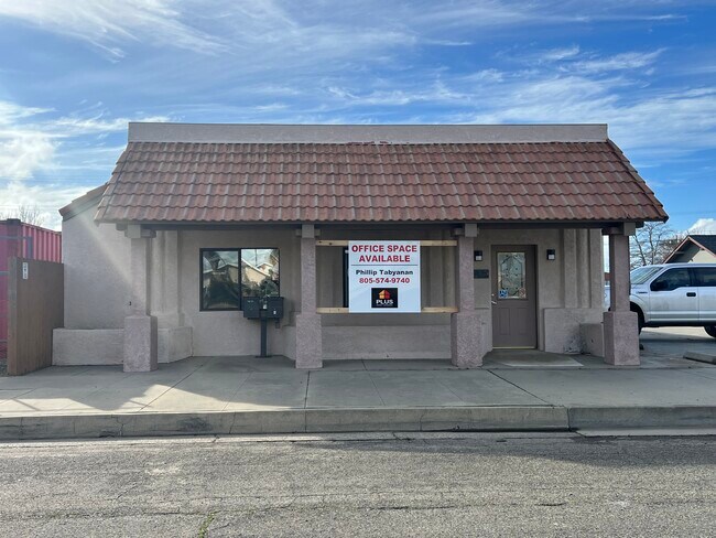
Property Record
2240 Edison St, Santa Ynez, CA 93460


NEARBY LISTINGS FOR SALE OR LEASE
Property Detail
2240 Edison St
Santa Maria-Santa Barbara, CA
Valley Farms
141-050-015
LOTS 4 & 5 BLK 62
Vacantlandnec
Santa Barbara
X
California
06083C0814G
42830
2024
5 AC
2025
Central SB County
002703
Santa Barbara/Sta Maria/Goleta
DEMOGRAPHICS near 2240 Edison St
1 Mile
3 Mile
5 Mile
2024 Total Population
23,901
41,367
53,288
2029 Population
23,689
40,910
52,722
Pop Growth 2024-2029
(0.89%)
(1.10%)
(1.06%)
Average Age
35
37
38
2024 Total Households
8,192
13,945
17,190
HH Growth 2024-2029
(1.06%)
(1.27%)
(1.23%)
Median Household Inc
$50,399
$63,450
$69,047
Avg Household Size
2.80
2.90
2.80
2024 Avg HH Vehicles
2.00
2.00
2.00
Median Home Value
$379,124
$399,240
$417,698
Median Year Built
1970
1974
1972
Nearby Places
Map Layers
Map Styles
 Street
 Aerial
- Restaurants
- Banks
- Shops
- Fitness
- Groceries
PUBLIC TRANSPORTATION
AIRPORT
Santa Barbara Municipal
DRIVE
WALK
Distance
Santa Barbara Municipal
61 min
35.0 mi
Freight Ports
The Port of Hueneme
DRIVE
WALK
Distance
The Port of Hueneme
97 min
71.2 mi
SALE & LEASE HISTORY
LISTING DATE
SALE/LEASE

Jan 31, 2024
For Lease
Nearby Properties
Address
Land Use
TOTAL SIZE
Lot Size
Zoning
Address
Land Use
TOTAL SIZE
Lot Size
Zoning
5.43 AC
Address
Land Use
TOTAL SIZE
Lot Size
Zoning
46.18 AC
AGI10
Address
Land Use
TOTAL SIZE
Lot Size
Zoning
18.16 AC
AGI40
Address
Land Use
TOTAL SIZE
Lot Size
Zoning
4.35 AC
C2
Address
Land Use
TOTAL SIZE
Lot Size
Zoning
6,332 SF
24.44 AC
AGI20
Address
Land Use
TOTAL SIZE
Lot Size
Zoning
4,912 SF
65.81 AC
AGI40
Address
Land Use
TOTAL SIZE
Lot Size
Zoning
15.19 AC
AGI10
Address
Land Use
TOTAL SIZE
Lot Size
Zoning
37.06 AC
AGI40
Address
Land Use
TOTAL SIZE
Lot Size
Zoning
4,149 SF
19.52 AC
AGI20
Address
Land Use
TOTAL SIZE
Lot Size
Zoning
5,093 SF
40 AC
AGII40
Address
Land Use
TOTAL SIZE
Lot Size
Zoning
1,190 SF
52.62 AC
AGII40
Address
Land Use
TOTAL SIZE
Lot Size
Zoning
0.46 AC
C2
Address
Land Use
TOTAL SIZE
Lot Size
Zoning
9,062 SF
0.52 AC
C2
Address
Land Use
TOTAL SIZE
Lot Size
Zoning
94.96 AC
AGII100
Address
Land Use
TOTAL SIZE
Lot Size
Zoning
5,900 SF
21.69 AC
AGI20
Address
Land Use
TOTAL SIZE
Lot Size
Zoning
4,178 SF
10.45 AC
AGI10
Address
Land Use
TOTAL SIZE
Lot Size
Zoning
39,204 SF
1.15 AC
C2
Address
Land Use
TOTAL SIZE
Lot Size
Zoning
39.54 AC
Address
Land Use
TOTAL SIZE
Lot Size
Zoning
9,854 SF
0.39 AC
C2
Address
Land Use
TOTAL SIZE
Lot Size
Zoning
1,994 SF
107.07 AC
AGII100
Address
Land Use
TOTAL SIZE
Lot Size
Zoning
4,811 SF
5.33 AC
Address
Land Use
TOTAL SIZE
Lot Size
Zoning
3,635 SF
17.11 AC
AGI20
Address
Land Use
TOTAL SIZE
Lot Size
Zoning
1,448 SF
39.19 AC
AGI40
Address
Land Use
TOTAL SIZE
Lot Size
Zoning
415.20 AC
AGII100
Address
Land Use
TOTAL SIZE
Lot Size
Zoning
5,380 SF
20 AC
AGI20
Address
Land Use
TOTAL SIZE
Lot Size
Zoning
6,504 SF
0.62 AC
C3
Address
Land Use
TOTAL SIZE
Lot Size
Zoning
52.62 AC
AGII40
Address
Land Use
TOTAL SIZE
Lot Size
Zoning
115.80 AC
AGII100
Address
Land Use
TOTAL SIZE
Lot Size
Zoning
29.32 AC
AGI20
The World's #1 Commercial Real Estate Marketplace
Connect with us
© 2026 CoStar Group
The information above has been obtained from sources believed reliable. While we do not doubt its accuracy we have not verified it and make no guarantee, warranty or representation about it. It is your responsibility to independently confirm its accuracy and completeness. Any projections, opinions, assumptions, or estimates used are for example only and do not represent the current or future performance of the property. The value of this transaction to you depends on tax and other factors which should be evaluated by your tax, financial, and legal advisors. You and your advisors should conduct a careful, independent investigation of the property to determine to your satisfaction the suitability of the property for your needs.