Property Record
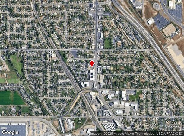
133 N Main St, Clearfield, UT 84015

NEARBY LISTINGS FOR SALE OR LEASE
Property Detail
133 N Main St
Ogden-Clearfield, UT
A PARCEL OF LAND LYING & SIT IN THE NE 1/4 OF SEC 2-T4N-R2W, SLB&M, AS DESC IN THAT CERTAIN WD RECORDED AS E# 853843 BK 1285 PG 532. BASIS OF BEARING FOR SUBJECT DESCRIPTION BEING N 89^55'46" W 2648.6
12-020-0162
Davis
Commercialnec
Utah
2025
1.23 AC
2025
Davis/Weber Counties
125502
Salt Lake City
2,405 SF
DEMOGRAPHICS near 133 N Main St
1 Mile
3 Mile
5 Mile
2024 Total Population
12,481
94,250
223,423
2029 Population
13,292
100,089
238,293
Pop Growth 2024-2029
+ 6.50%
+ 6.20%
+ 6.66%
Average Age
33
33
34
2024 Total Households
4,126
29,508
69,954
HH Growth 2024-2029
+ 6.76%
+ 6.33%
+ 6.78%
Median Household Inc
$66,764
$75,436
$82,484
Avg Household Size
3.00
3.10
3.10
2024 Avg HH Vehicles
2.00
2.00
2.00
Median Home Value
$304,482
$365,219
$374,260
Median Year Built
1975
1992
1994
Nearby Places
Map Layers
Map Styles
 Street
 Aerial
- Restaurants
- Banks
- Shops
- Fitness
- Groceries
PUBLIC TRANSPORTATION
COMMUTER RAIL
Clearfield (FrontRunner North - Utah Transit Authority (UTA))
DRIVE
WALK
Distance
Clearfield (FrontRunner North - Utah Transit Authority (UTA))
5 min
2.1 mi
Roy (FrontRunner North - Utah Transit Authority (UTA))
DRIVE
WALK
Distance
Roy (FrontRunner North - Utah Transit Authority (UTA))
11 min
6.3 mi
AIRPORT
Salt Lake City International
DRIVE
WALK
Distance
Salt Lake City International
38 min
31.6 mi
Freight Ports
Port of Stockton
DRIVE
WALK
Distance
Port of Stockton
738 min
722.0 mi
Nearby Properties
Address
Land Use
TOTAL SIZE
Lot Size
Zoning
Address
Land Use
TOTAL SIZE
Lot Size
Zoning
399,630 SF
31.55 AC
I
Address
Land Use
TOTAL SIZE
Lot Size
Zoning
664,440 SF
37.07 AC
Address
Land Use
TOTAL SIZE
Lot Size
Zoning
151,064 SF
48.81 AC
Address
Land Use
TOTAL SIZE
Lot Size
Zoning
233,780 SF
14.77 AC
C-H
Address
Land Use
TOTAL SIZE
Lot Size
Zoning
86,213 SF
12.27 AC
Address
Land Use
TOTAL SIZE
Lot Size
Zoning
123,824 SF
41.89 AC
M1
Address
Land Use
TOTAL SIZE
Lot Size
Zoning
125,164 SF
7.12 AC
Address
Land Use
TOTAL SIZE
Lot Size
Zoning
53,494 SF
8.08 AC
Address
Land Use
TOTAL SIZE
Lot Size
Zoning
3,830 SF
16.64 AC
R3
Address
Land Use
TOTAL SIZE
Lot Size
Zoning
6,840 SF
15.25 AC
RH
Address
Land Use
TOTAL SIZE
Lot Size
Zoning
121,332 SF
44.40 AC
Address
Land Use
TOTAL SIZE
Lot Size
Zoning
86,536 SF
8.75 AC
Address
Land Use
TOTAL SIZE
Lot Size
Zoning
123,445 SF
27.94 AC
M1
Address
Land Use
TOTAL SIZE
Lot Size
Zoning
27,763 SF
11.41 AC
Address
Land Use
TOTAL SIZE
Lot Size
Zoning
4,281 SF
16.55 AC
RM1
Address
Land Use
TOTAL SIZE
Lot Size
Zoning
75,946 SF
5.67 AC
CH
Address
Land Use
TOTAL SIZE
Lot Size
Zoning
638,065 SF
33.77 AC
M1
Address
Land Use
TOTAL SIZE
Lot Size
Zoning
182,344 SF
7.41 AC
CP-3
Address
Land Use
TOTAL SIZE
Lot Size
Zoning
91,750 SF
6.76 AC
C2
Address
Land Use
TOTAL SIZE
Lot Size
Zoning
107,628 SF
58.88 AC
A
Address
Land Use
TOTAL SIZE
Lot Size
Zoning
63,828 SF
5.30 AC
PF
Address
Land Use
TOTAL SIZE
Lot Size
Zoning
1,540 SF
11.52 AC
Address
Land Use
TOTAL SIZE
Lot Size
Zoning
453,129 SF
24.72 AC
M1
Address
Land Use
TOTAL SIZE
Lot Size
Zoning
76,778 SF
5.51 AC
Address
Land Use
TOTAL SIZE
Lot Size
Zoning
26,058 SF
5.86 AC
Address
Land Use
TOTAL SIZE
Lot Size
Zoning
5,481 SF
15.54 AC
The World's #1 Commercial Real Estate Marketplace
Connect with us
© 2025 CoStar Group
The information above has been obtained from sources believed reliable. While we do not doubt its accuracy we have not verified it and make no guarantee, warranty or representation about it. It is your responsibility to independently confirm its accuracy and completeness. Any projections, opinions, assumptions, or estimates used are for example only and do not represent the current or future performance of the property. The value of this transaction to you depends on tax and other factors which should be evaluated by your tax, financial, and legal advisors. You and your advisors should conduct a careful, independent investigation of the property to determine to your satisfaction the suitability of the property for your needs.