Property Record
13873 W Highway 40 Ave, Ocala, FL 34481


NEARBY LISTINGS FOR SALE OR LEASE
-
-
View all Ocala listings for sale on LoopNet.com
Property Detail
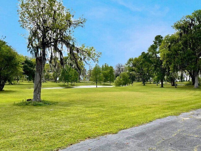
13873 W Highway 40 Ave
Ocala, FL
Rainbow Park Unit 8
21141-000-00
Marion
Sfr
Florida
AE
122.51 AC
12083C0486E
Outlying Marion County
3,783 SF
Ocala
DEMOGRAPHICS near 13873 W Highway 40 Ave
1 Mile
3 Mile
5 Mile
2024 Total Population
1,214
6,408
14,496
2029 Population
1,400
7,373
16,628
Pop Growth 2024-2029
+ 15.32%
+ 15.06%
+ 14.71%
Average Age
42
43
43
2024 Total Households
460
2,440
5,199
HH Growth 2024-2029
+ 15.22%
+ 15.04%
+ 14.89%
Median Household Inc
$48,749
$54,233
$50,717
Avg Household Size
2.60
2.50
2.50
2024 Avg HH Vehicles
2.00
2.00
2.00
Median Home Value
$146,376
$195,608
$172,301
Median Year Built
2001
1999
1998
Nearby Places
Map Layers
Map Styles
 Street
 Aerial
- Restaurants
- Banks
- Shops
- Fitness
- Groceries
SALE & LEASE HISTORY
LISTING DATE
SALE/LEASE

Aug 12, 2021
For Sale
Nearby Properties
Address
Land Use
TOTAL SIZE
Lot Size
Zoning
Address
Land Use
TOTAL SIZE
Lot Size
Zoning
7,341 SF
163.85 AC
A1
Address
Land Use
TOTAL SIZE
Lot Size
Zoning
10,186 SF
540.13 AC
RAC
Address
Land Use
TOTAL SIZE
Lot Size
Zoning
7,386 SF
56.29 AC
A1
Address
Land Use
TOTAL SIZE
Lot Size
Zoning
3,924 SF
268.44 AC
B2
Address
Land Use
TOTAL SIZE
Lot Size
Zoning
25,358 SF
12.42 AC
B5
Address
Land Use
TOTAL SIZE
Lot Size
Zoning
5,620 SF
A1
Address
Land Use
TOTAL SIZE
Lot Size
Zoning
4,031 SF
10 AC
A1
Address
Land Use
TOTAL SIZE
Lot Size
Zoning
6,155 SF
81.02 AC
A1
Address
Land Use
TOTAL SIZE
Lot Size
Zoning
6,920 SF
47.84 AC
A1
Address
Land Use
TOTAL SIZE
Lot Size
Zoning
9,217 SF
2 AC
B4
Address
Land Use
TOTAL SIZE
Lot Size
Zoning
4,984 SF
10 AC
A1
Address
Land Use
TOTAL SIZE
Lot Size
Zoning
3,377 SF
10.28 AC
PUD
Address
Land Use
TOTAL SIZE
Lot Size
Zoning
3,856 SF
10.18 AC
A1
Address
Land Use
TOTAL SIZE
Lot Size
Zoning
3,573 SF
10 AC
A1
Address
Land Use
TOTAL SIZE
Lot Size
Zoning
7,835 SF
6.56 AC
A1
Address
Land Use
TOTAL SIZE
Lot Size
Zoning
1,008 SF
244.23 AC
A1
Address
Land Use
TOTAL SIZE
Lot Size
Zoning
9,162 SF
1.56 AC
RAC
Address
Land Use
TOTAL SIZE
Lot Size
Zoning
4,196 SF
10 AC
A1
Address
Land Use
TOTAL SIZE
Lot Size
Zoning
4,547 SF
10 AC
A1
Address
Land Use
TOTAL SIZE
Lot Size
Zoning
4,199 SF
30.65 AC
A1
Address
Land Use
TOTAL SIZE
Lot Size
Zoning
4,205 SF
8 AC
A1
Address
Land Use
TOTAL SIZE
Lot Size
Zoning
38.50 AC
A1
Address
Land Use
TOTAL SIZE
Lot Size
Zoning
2,850 SF
12.50 AC
A1
Address
Land Use
TOTAL SIZE
Lot Size
Zoning
85.31 AC
PUD
Address
Land Use
TOTAL SIZE
Lot Size
Zoning
6,920 SF
81.84 AC
A1
Address
Land Use
TOTAL SIZE
Lot Size
Zoning
120 AC
A1
Address
Land Use
TOTAL SIZE
Lot Size
Zoning
4,291 SF
10 AC
A1
Address
Land Use
TOTAL SIZE
Lot Size
Zoning
3,734 SF
19.56 AC
A1
Address
Land Use
TOTAL SIZE
Lot Size
Zoning
4,051 SF
10 AC
A1
Address
Land Use
TOTAL SIZE
Lot Size
Zoning
42.96 AC
A1
The World's #1 Commercial Real Estate Marketplace
Connect with us
© 2025 CoStar Group
The information above has been obtained from sources believed reliable. While we do not doubt its accuracy we have not verified it and make no guarantee, warranty or representation about it. It is your responsibility to independently confirm its accuracy and completeness. Any projections, opinions, assumptions, or estimates used are for example only and do not represent the current or future performance of the property. The value of this transaction to you depends on tax and other factors which should be evaluated by your tax, financial, and legal advisors. You and your advisors should conduct a careful, independent investigation of the property to determine to your satisfaction the suitability of the property for your needs.