No Photo
Property Record
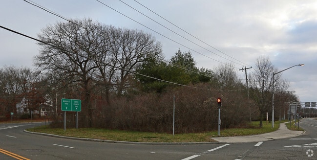
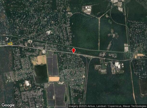
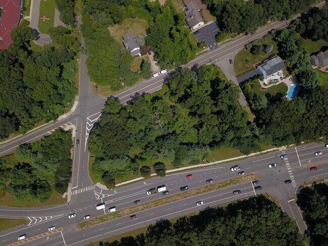
134 Route 25A, Shoreham, NY 11786
NEARBY LISTINGS FOR SALE OR LEASE
Property Detail
134 Route 25A
Nassau County-Suffolk County, NY
Map Soundview Acres Section Three
0200-079-00-03-00-013-003
LNWDVL 4-576 B2 E 16FT 16 ALL 17 TO
Commercialacreage
Suffolk
X
New York
36103C0409H
13
2024
1.14 AC
2024
Central Suffolk
158411
Long Island (New York)
DEMOGRAPHICS near 134 Route 25A
1 Mile
3 Mile
5 Mile
2024 Total Population
5,943
26,754
65,178
2029 Population
5,858
26,586
64,635
Pop Growth 2024-2029
(1.43%)
(0.63%)
(0.83%)
Average Age
41
45
43
2024 Total Households
2,033
10,475
24,472
HH Growth 2024-2029
(1.52%)
(0.55%)
(0.89%)
Median Household Inc
$121,594
$93,308
$108,602
Avg Household Size
2.90
2.50
2.60
2024 Avg HH Vehicles
2.00
2.00
2.00
Median Home Value
$452,137
$392,260
$420,958
Median Year Built
1968
1974
1976
Nearby Places
- Restaurants
- Banks
- Shops
- Fitness
- Groceries
PUBLIC TRANSPORTATION
COMMUTER RAIL
Port Jefferson Station (Port Jefferson Branch - Long Island Rail Road)
DRIVE
WALK
Distance
Port Jefferson Station (Port Jefferson Branch - Long Island Rail Road)
18 min
9.6 mi
Yaphank Station (Greenport Branch - Long Island Rail Road)
DRIVE
WALK
Distance
Yaphank Station (Greenport Branch - Long Island Rail Road)
14 min
9.6 mi
AIRPORT
Long Island MacArthur
DRIVE
WALK
Distance
Long Island MacArthur
34 min
21.7 mi
Freight Ports
Port of New Haven
DRIVE
WALK
Distance
Port of New Haven
128 min
47.9 mi
SALE & LEASE HISTORY
LISTING DATE
SALE/LEASE

Sep 24, 2016
For Sale
Aug 31, 2021
For Sale
Nearby Properties
Address
Land Use
TOTAL SIZE
Lot Size
Zoning
Address
Land Use
TOTAL SIZE
Lot Size
Zoning
Address
Land Use
TOTAL SIZE
Lot Size
Zoning
41,075 SF
101 AC
02
Address
Land Use
TOTAL SIZE
Lot Size
Zoning
13.42 AC
02
Address
Land Use
TOTAL SIZE
Lot Size
Zoning
2,842 SF
0.21 AC
VILLA
Address
Land Use
TOTAL SIZE
Lot Size
Zoning
17.70 AC
Address
Land Use
TOTAL SIZE
Lot Size
Zoning
1.14 AC
CR80
Address
Land Use
TOTAL SIZE
Lot Size
Zoning
2.50 AC
CR80
Address
Land Use
TOTAL SIZE
Lot Size
Zoning
838.32 AC
Address
Land Use
TOTAL SIZE
Lot Size
Zoning
3,736 SF
1.14 AC
R2
Address
Land Use
TOTAL SIZE
Lot Size
Zoning
21,775 SF
2.20 AC
2
Address
Land Use
TOTAL SIZE
Lot Size
Zoning
Address
Land Use
TOTAL SIZE
Lot Size
Zoning
4.14 AC
MRP
Address
Land Use
TOTAL SIZE
Lot Size
Zoning
26,740 SF
3.90 AC
2
Address
Land Use
TOTAL SIZE
Lot Size
Zoning
2,456 SF
0.88 AC
R15
Address
Land Use
TOTAL SIZE
Lot Size
Zoning
Address
Land Use
TOTAL SIZE
Lot Size
Zoning
18.30 AC
Address
Land Use
TOTAL SIZE
Lot Size
Zoning
21,144 SF
6.30 AC
02
Address
Land Use
TOTAL SIZE
Lot Size
Zoning
1,218 SF
0.81 AC
02
Address
Land Use
TOTAL SIZE
Lot Size
Zoning
3.60 AC
Address
Land Use
TOTAL SIZE
Lot Size
Zoning
14,304 SF
1.80 AC
02
Address
Land Use
TOTAL SIZE
Lot Size
Zoning
149.80 AC
Address
Land Use
TOTAL SIZE
Lot Size
Zoning
1,716 SF
2.30 AC
02
Address
Land Use
TOTAL SIZE
Lot Size
Zoning
11,133 SF
2.51 AC
Address
Land Use
TOTAL SIZE
Lot Size
Zoning
149.03 AC
RB80
Address
Land Use
TOTAL SIZE
Lot Size
Zoning
Address
Land Use
TOTAL SIZE
Lot Size
Zoning
571 AC
Address
Land Use
TOTAL SIZE
Lot Size
Zoning
18.67 AC
Address
Land Use
TOTAL SIZE
Lot Size
Zoning
10 AC
Address
Land Use
TOTAL SIZE
Lot Size
Zoning
5,057 SF
9.80 AC
2
Address
Land Use
TOTAL SIZE
Lot Size
Zoning
17.30 AC
The World's #1 Commercial Real Estate Marketplace
Connect with us
© 2025 CoStar Group
The information above has been obtained from sources believed reliable. While we do not doubt its accuracy we have not verified it and make no guarantee, warranty or representation about it. It is your responsibility to independently confirm its accuracy and completeness. Any projections, opinions, assumptions, or estimates used are for example only and do not represent the current or future performance of the property. The value of this transaction to you depends on tax and other factors which should be evaluated by your tax, financial, and legal advisors. You and your advisors should conduct a careful, independent investigation of the property to determine to your satisfaction the suitability of the property for your needs.