Property Record
0 University Ave W, Saint Paul, MN 55104


NEARBY LISTINGS FOR SALE OR LEASE
Property Detail
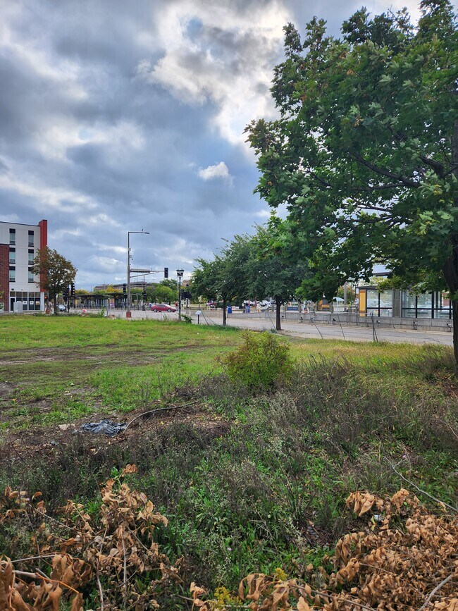
0 University Ave W
Minneapolis-St. Paul-Bloomington, MN-WI
Syndicate No. 5 Addition
34-29-23-24-0234
SYNDICATE NO. 5 ADDITION SUBJ TO RD; E 24 FT OF LOT 26 AND ALL OF LOTS 27 THRU LOT 30 BLK 30
Commercialacreage
Ramsey
X
Minnesota
27053C0400F
26
2024
0.51 AC
2025
Rosedale
033400
Minneapolis/St Paul
1,540 SF
DEMOGRAPHICS near 0 University Ave W
1 Mile
3 Mile
5 Mile
2024 Total Population
22,910
164,973
407,492
2029 Population
22,358
160,926
398,844
Pop Growth 2024-2029
(2.41%)
(2.45%)
(2.12%)
Average Age
36
38
37
2024 Total Households
9,344
69,359
166,981
HH Growth 2024-2029
(2.50%)
(2.55%)
(2.21%)
Median Household Inc
$64,525
$71,182
$67,168
Avg Household Size
2.20
2.20
2.20
2024 Avg HH Vehicles
1.00
2.00
1.00
Median Home Value
$266,044
$328,440
$301,084
Median Year Built
1947
1948
1955
Nearby Places
Map Layers
Map Styles
 Street
 Aerial
- Restaurants
- Banks
- Shops
- Fitness
- Groceries
PUBLIC TRANSPORTATION
COMMUTER RAIL
DRIVE
WALK
Distance
8 min
4.2 mi
Target Field Station (Northstar Corridor - Northstar Commuter Rail)
DRIVE
WALK
Distance
Target Field Station (Northstar Corridor - Northstar Commuter Rail)
16 min
7.3 mi
AIRPORT
Minneapolis-St Paul International/Wold-Chamberlain
DRIVE
WALK
Distance
Minneapolis-St Paul International/Wold-Chamberlain
17 min
8.3 mi
SALE & LEASE HISTORY
LISTING DATE
SALE/LEASE

Oct 06, 2023
For Sale
May 18, 2018
For Lease
Nearby Properties
Address
Land Use
TOTAL SIZE
Lot Size
Zoning
Address
Land Use
TOTAL SIZE
Lot Size
Zoning
36,300 SF
223.37 AC
Address
Land Use
TOTAL SIZE
Lot Size
Zoning
141,277 SF
44.78 AC
Address
Land Use
TOTAL SIZE
Lot Size
Zoning
84,316 SF
40.83 AC
Address
Land Use
TOTAL SIZE
Lot Size
Zoning
504,049 SF
75.43 AC
Address
Land Use
TOTAL SIZE
Lot Size
Zoning
582,896 SF
14 AC
Address
Land Use
TOTAL SIZE
Lot Size
Zoning
825,463 SF
7.04 AC
Address
Land Use
TOTAL SIZE
Lot Size
Zoning
124,932 SF
9.68 AC
Address
Land Use
TOTAL SIZE
Lot Size
Zoning
63.12 AC
Address
Land Use
TOTAL SIZE
Lot Size
Zoning
646,900 SF
7.66 AC
Address
Land Use
TOTAL SIZE
Lot Size
Zoning
176,108 SF
27.45 AC
Address
Land Use
TOTAL SIZE
Lot Size
Zoning
32,854 SF
5.55 AC
Address
Land Use
TOTAL SIZE
Lot Size
Zoning
577,656 SF
2.92 AC
C3A
Address
Land Use
TOTAL SIZE
Lot Size
Zoning
18.24 AC
Address
Land Use
TOTAL SIZE
Lot Size
Zoning
267,530 SF
28.60 AC
Address
Land Use
TOTAL SIZE
Lot Size
Zoning
395,419 SF
2.73 AC
Address
Land Use
TOTAL SIZE
Lot Size
Zoning
344,458 SF
1.64 AC
C3A
Address
Land Use
TOTAL SIZE
Lot Size
Zoning
3,200 SF
0.14 AC
Address
Land Use
TOTAL SIZE
Lot Size
Zoning
516,325 SF
16.81 AC
Address
Land Use
TOTAL SIZE
Lot Size
Zoning
643,305 SF
1.93 AC
Address
Land Use
TOTAL SIZE
Lot Size
Zoning
7.41 AC
Address
Land Use
TOTAL SIZE
Lot Size
Zoning
4,808 SF
269.81 AC
Address
Land Use
TOTAL SIZE
Lot Size
Zoning
68,748 SF
21.59 AC
Address
Land Use
TOTAL SIZE
Lot Size
Zoning
18,630 SF
22.02 AC
Address
Land Use
TOTAL SIZE
Lot Size
Zoning
518,750 SF
3.58 AC
Address
Land Use
TOTAL SIZE
Lot Size
Zoning
291,264 SF
1.61 AC
C3A
Address
Land Use
TOTAL SIZE
Lot Size
Zoning
276,144 SF
347.68 AC
Address
Land Use
TOTAL SIZE
Lot Size
Zoning
245,477 SF
1.32 AC
C3A
Address
Land Use
TOTAL SIZE
Lot Size
Zoning
200,892 SF
3.60 AC
Address
Land Use
TOTAL SIZE
Lot Size
Zoning
393,443 SF
3.75 AC
Address
Land Use
TOTAL SIZE
Lot Size
Zoning
260,739 SF
3.04 AC
The World's #1 Commercial Real Estate Marketplace
Connect with us
© 2026 CoStar Group
The information above has been obtained from sources believed reliable. While we do not doubt its accuracy we have not verified it and make no guarantee, warranty or representation about it. It is your responsibility to independently confirm its accuracy and completeness. Any projections, opinions, assumptions, or estimates used are for example only and do not represent the current or future performance of the property. The value of this transaction to you depends on tax and other factors which should be evaluated by your tax, financial, and legal advisors. You and your advisors should conduct a careful, independent investigation of the property to determine to your satisfaction the suitability of the property for your needs.