Property Record
13480 Gunsmoke Rd, Mccall, ID 83638

Save to a Folder
{{folder.Name}}
{{folder.ListingIds.length}} Properties
{{folder.ListingIds.length}} Property
Create a New Folder
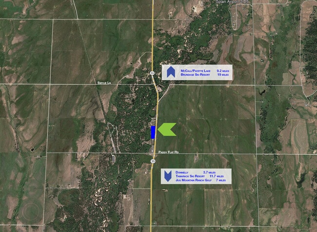
Property Detail
13480 Gunsmoke Rd
Other Market Areas
BIG VALLEY ESTATES LOT 2 BLOCK 1
RP005570010020
VALLEY
Residentialacreage
Idaho
B and X Area of moderate flood hazard, usually the area between the limits of the 100-year and 500-year floods.
2
2025
2.80 AC
2025
Idaho North Area
970302
NEARBY LISTINGS FOR SALE OR LEASE
-
-
View all Mccall listings for sale on LoopNet.com
DEMOGRAPHICS near 13480 Gunsmoke Rd
1 mile
3 mile
5 mile
2025 Total Population
47
404
3,000
2030 Population
51
437
3,236
Pop Growth 2025-2030
+ 8.51%
+ 8.17%
+ 7.87%
Average Age
44
44
44
2025 Total Households
19
159
1,185
HH Growth 2025-2030
+ 5.26%
+ 6.92%
+ 6.84%
Median Household Inc
$74,999
$82,608
$83,620
Avg Household Size
2.50
2.50
2.50
2025 Avg HH Vehicles
2.00
2.00
2.00
Median Home Value
$750,000
$752,941
$758,564
Median Year Built
2006
2006
2005
Nearby Places
Map Layers
Map Styles
 Street
 Aerial
Layers
 Traffic
 Biking
Places
Listings with unknown addresses are not visible on the map
- Restaurants
- Banks
- Shops
- Fitness
- Groceries
SALE & LEASE HISTORY
LISTING DATE
SALE/LEASE

Jun 13, 2022
For Sale
Nearby Properties
Address
Land Use
TOTAL SIZE
Lot Size
Zoning
Address
Land Use
TOTAL SIZE
Lot Size
Zoning
24.09 AC
Address
Land Use
TOTAL SIZE
Lot Size
Zoning
12,000 SF
5.57 AC
Address
Land Use
TOTAL SIZE
Lot Size
Zoning
6,334 SF
2.05 AC
Address
Land Use
TOTAL SIZE
Lot Size
Zoning
3,989 SF
30 AC
Address
Land Use
TOTAL SIZE
Lot Size
Zoning
3,596 SF
5 AC
Address
Land Use
TOTAL SIZE
Lot Size
Zoning
20.13 AC
Address
Land Use
TOTAL SIZE
Lot Size
Zoning
151.85 AC
Address
Land Use
TOTAL SIZE
Lot Size
Zoning
2.80 AC
Address
Land Use
TOTAL SIZE
Lot Size
Zoning
20.19 AC
Address
Land Use
TOTAL SIZE
Lot Size
Zoning
2,023 SF
14.66 AC
Address
Land Use
TOTAL SIZE
Lot Size
Zoning
3,520 SF
9.80 AC
Address
Land Use
TOTAL SIZE
Lot Size
Zoning
984 SF
3.93 AC
Address
Land Use
TOTAL SIZE
Lot Size
Zoning
46.14 AC
Address
Land Use
TOTAL SIZE
Lot Size
Zoning
Address
Land Use
TOTAL SIZE
Lot Size
Zoning
5,109 SF
1.63 AC
Address
Land Use
TOTAL SIZE
Lot Size
Zoning
Address
Land Use
TOTAL SIZE
Lot Size
Zoning
Address
Land Use
TOTAL SIZE
Lot Size
Zoning
Address
Land Use
TOTAL SIZE
Lot Size
Zoning
38 AC
Address
Land Use
TOTAL SIZE
Lot Size
Zoning
45.71 AC
Address
Land Use
TOTAL SIZE
Lot Size
Zoning
3,196 SF
7.41 AC
Address
Land Use
TOTAL SIZE
Lot Size
Zoning
101.30 AC
Address
Land Use
TOTAL SIZE
Lot Size
Zoning
7.89 AC
Address
Land Use
TOTAL SIZE
Lot Size
Zoning
2.78 AC
Address
Land Use
TOTAL SIZE
Lot Size
Zoning
20.43 AC
Address
Land Use
TOTAL SIZE
Lot Size
Zoning
5.12 AC
Address
Land Use
TOTAL SIZE
Lot Size
Zoning
3.22 AC
The World's #1 Commercial Real Estate Marketplace
Connect with us
© 2026 CoStar Group
The information above has been obtained from sources believed reliable. While we do not doubt its accuracy we have not verified it and make no guarantee, warranty or representation about it. It is your responsibility to independently confirm its accuracy and completeness. Any projections, opinions, assumptions, or estimates used are for example only and do not represent the current or future performance of the property. The value of this transaction to you depends on tax and other factors which should be evaluated by your tax, financial, and legal advisors. You and your advisors should conduct a careful, independent investigation of the property to determine to your satisfaction the suitability of the property for your needs.