Property Record
135 Howard Rd, Fulton, NY 13069


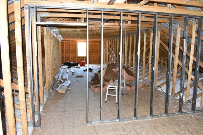
Property Detail
135 Howard Rd
355800-219-000-0005-041-001-0000
OSWEGO
Commercialbuilding
New York
I-1
41.010
B and X Area of moderate flood hazard, usually the area between the limits of the 100-year and 500-year floods.
3.06 AC
2025
Oswego County
2024
Syracuse
021002
Syracuse, NY
3,744 SF
NEARBY LISTINGS FOR SALE OR LEASE
-
-
View all Fulton listings for sale on LoopNet.com
DEMOGRAPHICS near 135 Howard Rd
1 mile
3 mile
5 mile
2025 Total Population
318
9,173
19,202
2030 Population
318
9,013
18,860
Pop Growth 2025-2030
0.00%
(1.74%)
(1.78%)
Average Age
42
40
41
2025 Total Households
125
3,751
7,825
HH Growth 2025-2030
0.00%
(1.76%)
(1.79%)
Median Household Inc
$90,624
$62,987
$65,383
Avg Household Size
2.50
2.40
2.40
2025 Avg HH Vehicles
2.00
2.00
2.00
Median Home Value
$141,891
$106,671
$127,551
Median Year Built
1983
1954
1960
Nearby Places
Map Layers
Map Styles
 Street
 Aerial
Transit
 Traffic
 Biking
Places
Listings with unknown addresses are not visible on the map
- Restaurants
- Banks
- Shops
- Fitness
- Groceries
PUBLIC TRANSPORTATION
AIRPORT
Syracuse Hancock International
Drive
Walk
Distance
Syracuse Hancock International
40 min
28.0 mi
SALE & LEASE HISTORY
LISTING DATE
SALE/LEASE

Jun 30, 2021
For Sale
Nearby Properties
Address
Land Use
TOTAL SIZE
Lot Size
Zoning
Address
Land Use
TOTAL SIZE
Lot Size
Zoning
19.34 AC
AG
Address
Land Use
TOTAL SIZE
Lot Size
Zoning
8,096 SF
13.15 AC
R1
Address
Land Use
TOTAL SIZE
Lot Size
Zoning
10.57 AC
R-1
Address
Land Use
TOTAL SIZE
Lot Size
Zoning
85,869 SF
59.55 AC
Address
Land Use
TOTAL SIZE
Lot Size
Zoning
6,656 SF
9.94 AC
R3
Address
Land Use
TOTAL SIZE
Lot Size
Zoning
50,818 SF
5 AC
C2
Address
Land Use
TOTAL SIZE
Lot Size
Zoning
78,713 SF
8.30 AC
R1
Address
Land Use
TOTAL SIZE
Lot Size
Zoning
99,592 SF
0.38 AC
C2A
Address
Land Use
TOTAL SIZE
Lot Size
Zoning
52,776 SF
3.30 AC
R2
Address
Land Use
TOTAL SIZE
Lot Size
Zoning
128,445 SF
5.62 AC
M1
Address
Land Use
TOTAL SIZE
Lot Size
Zoning
2,460 SF
43.70 AC
Address
Land Use
TOTAL SIZE
Lot Size
Zoning
3,432 SF
7.70 AC
R3
Address
Land Use
TOTAL SIZE
Lot Size
Zoning
4.82 AC
I-1
Address
Land Use
TOTAL SIZE
Lot Size
Zoning
128,064 SF
4.50 AC
M1
Address
Land Use
TOTAL SIZE
Lot Size
Zoning
34,310 SF
2.29 AC
C2A
Address
Land Use
TOTAL SIZE
Lot Size
Zoning
51.01 AC
I-1
Address
Land Use
TOTAL SIZE
Lot Size
Zoning
128,600 SF
7.91 AC
M1
Address
Land Use
TOTAL SIZE
Lot Size
Zoning
86,100 SF
2.72 AC
M1
Address
Land Use
TOTAL SIZE
Lot Size
Zoning
8,137 SF
1.40 AC
R2
Address
Land Use
TOTAL SIZE
Lot Size
Zoning
25,521 SF
1.40 AC
C2A
Address
Land Use
TOTAL SIZE
Lot Size
Zoning
9,450 SF
3.66 AC
R3
Address
Land Use
TOTAL SIZE
Lot Size
Zoning
0.46 AC
R-2
Address
Land Use
TOTAL SIZE
Lot Size
Zoning
15,416 SF
464.37 AC
I-1
Address
Land Use
TOTAL SIZE
Lot Size
Zoning
9,408 SF
194 AC
Address
Land Use
TOTAL SIZE
Lot Size
Zoning
43,608 SF
410.93 AC
AG
Address
Land Use
TOTAL SIZE
Lot Size
Zoning
Address
Land Use
TOTAL SIZE
Lot Size
Zoning
Address
Land Use
TOTAL SIZE
Lot Size
Zoning
960 SF
3.94 AC
R3
Address
Land Use
TOTAL SIZE
Lot Size
Zoning
59,500 SF
78 AC
R-2
Address
Land Use
TOTAL SIZE
Lot Size
Zoning
The World's #1 Commercial Real Estate Marketplace
Connect with us
© 2026 CoStar Group
The information above has been obtained from sources believed reliable. While we do not doubt its accuracy we have not verified it and make no guarantee, warranty or representation about it. It is your responsibility to independently confirm its accuracy and completeness. Any projections, opinions, assumptions, or estimates used are for example only and do not represent the current or future performance of the property. The value of this transaction to you depends on tax and other factors which should be evaluated by your tax, financial, and legal advisors. You and your advisors should conduct a careful, independent investigation of the property to determine to your satisfaction the suitability of the property for your needs.