Property Record
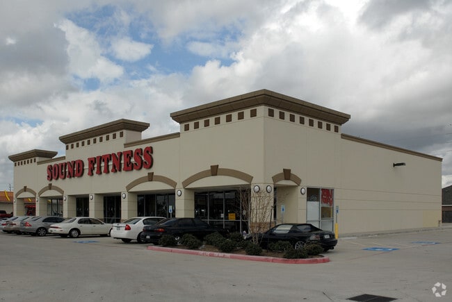
13512 Beechnut St, Houston, TX 77083

Property Detail
13512 Beechnut St
1283390010001
RES A BLK 1 N W C BEECHNUT
Vehiclerentalsvehiclesales
HARRIS
B and X Area of moderate flood hazard, usually the area between the limits of the 100-year and 500-year floods.
Texas
2024
0.90 AC
2025
Southwest Beltway 8
452701
Houston
1,600 SF
Houston-Pasadena-The Woodlands, TX
NEARBY LISTINGS FOR SALE OR LEASE
DEMOGRAPHICS near 13512 Beechnut St
1 mile
3 mile
5 mile
2025 Total Population
24,296
195,856
480,066
2030 Population
25,594
210,153
518,139
Pop Growth 2025-2030
+ 5.34%
+ 7.30%
+ 7.93%
Average Age
40
38
37
2025 Total Households
7,243
62,048
170,644
HH Growth 2025-2030
+ 5.45%
+ 7.51%
+ 8.04%
Median Household Inc
$58,218
$60,810
$61,119
Avg Household Size
3.20
3.00
2.70
2025 Avg HH Vehicles
2.00
2.00
2.00
Median Home Value
$227,558
$242,312
$273,565
Median Year Built
1990
1985
1987
Nearby Places
Map Layers
Map Styles
 Street
 Aerial
Layers
 Traffic
 Biking
Places
Listings with unknown addresses are not visible on the map
- Restaurants
- Banks
- Shops
- Fitness
- Groceries
PUBLIC TRANSPORTATION
AIRPORT
William P Hobby
Drive
Walk
Distance
William P Hobby
42 min
27.2 mi
George Bush Intcntl/Houston
Drive
Walk
Distance
George Bush Intcntl/Houston
46 min
37.5 mi
Freight Ports
Port of Houston
Drive
Walk
Distance
Port of Houston
41 min
28.4 mi
Nearby Properties
Address
Land Use
TOTAL SIZE
Lot Size
Zoning
Address
Land Use
TOTAL SIZE
Lot Size
Zoning
1,376,776 SF
113.43 AC
Address
Land Use
TOTAL SIZE
Lot Size
Zoning
94,547 SF
13.59 AC
Address
Land Use
TOTAL SIZE
Lot Size
Zoning
126,308 SF
16.95 AC
Address
Land Use
TOTAL SIZE
Lot Size
Zoning
526,945 SF
23.05 AC
Address
Land Use
TOTAL SIZE
Lot Size
Zoning
61,006 SF
13.16 AC
X
Address
Land Use
TOTAL SIZE
Lot Size
Zoning
690,119 SF
23 AC
Address
Land Use
TOTAL SIZE
Lot Size
Zoning
425,069 SF
25.14 AC
Address
Land Use
TOTAL SIZE
Lot Size
Zoning
286,285 SF
11.78 AC
Address
Land Use
TOTAL SIZE
Lot Size
Zoning
443,209 SF
25.13 AC
Address
Land Use
TOTAL SIZE
Lot Size
Zoning
332,872 SF
13 AC
Address
Land Use
TOTAL SIZE
Lot Size
Zoning
396,100 SF
18.02 AC
Address
Land Use
TOTAL SIZE
Lot Size
Zoning
459,199 SF
15.74 AC
Address
Land Use
TOTAL SIZE
Lot Size
Zoning
314,657 SF
17.77 AC
S
Address
Land Use
TOTAL SIZE
Lot Size
Zoning
45,216 SF
11.92 AC
SY
Address
Land Use
TOTAL SIZE
Lot Size
Zoning
274,158 SF
10.51 AC
Address
Land Use
TOTAL SIZE
Lot Size
Zoning
299,622 SF
17.66 AC
MSY
Address
Land Use
TOTAL SIZE
Lot Size
Zoning
205,950 SF
8.50 AC
Address
Land Use
TOTAL SIZE
Lot Size
Zoning
280,309 SF
9.98 AC
Address
Land Use
TOTAL SIZE
Lot Size
Zoning
20.82 AC
Address
Land Use
TOTAL SIZE
Lot Size
Zoning
365,218 SF
25.48 AC
Address
Land Use
TOTAL SIZE
Lot Size
Zoning
311,010 SF
12.36 AC
Address
Land Use
TOTAL SIZE
Lot Size
Zoning
330,612 SF
13.41 AC
Address
Land Use
TOTAL SIZE
Lot Size
Zoning
153,222 SF
15 AC
M
Address
Land Use
TOTAL SIZE
Lot Size
Zoning
328,483 SF
15.53 AC
XY
Address
Land Use
TOTAL SIZE
Lot Size
Zoning
11.73 AC
XT
Address
Land Use
TOTAL SIZE
Lot Size
Zoning
Address
Land Use
TOTAL SIZE
Lot Size
Zoning
185,225 SF
22.43 AC
Address
Land Use
TOTAL SIZE
Lot Size
Zoning
392,514 SF
15.28 AC
Address
Land Use
TOTAL SIZE
Lot Size
Zoning
99,989 SF
17.93 AC
Address
Land Use
TOTAL SIZE
Lot Size
Zoning
296,989 SF
12.80 AC
The World's #1 Commercial Real Estate Marketplace
Connect with us
© 2026 CoStar Group
The information above has been obtained from sources believed reliable. While we do not doubt its accuracy we have not verified it and make no guarantee, warranty or representation about it. It is your responsibility to independently confirm its accuracy and completeness. Any projections, opinions, assumptions, or estimates used are for example only and do not represent the current or future performance of the property. The value of this transaction to you depends on tax and other factors which should be evaluated by your tax, financial, and legal advisors. You and your advisors should conduct a careful, independent investigation of the property to determine to your satisfaction the suitability of the property for your needs.