Property Record
0 Barnes Rd, Moriches, NY 11955

This Property Is For Sale
NEARBY LISTINGS FOR SALE OR LEASE
Property Detail
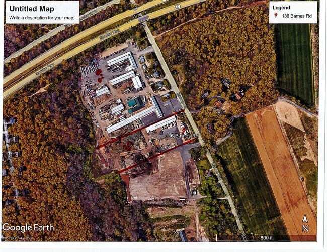
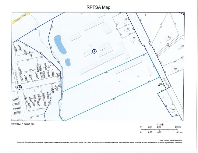
0 Barnes Rd
Nassau County-Suffolk County, NY
Moriches
0200-750-00-07-00-001-003
N TITMUS ENT S-32-21 E BARNES RD S
Poultryranch
Suffolk
A
New York
36103C0730H
1
2024
5 AC
2024
Eastern Suffolk
159415
Long Island (New York)
DEMOGRAPHICS near 0 Barnes Rd
1 mile
3 mile
5 mile
2024 Total Population
5,437
52,322
90,572
2029 Population
5,374
51,721
89,980
Pop Growth 2024-2029
(1.16%)
(1.15%)
(0.65%)
Average Age
37
40
40
2024 Total Households
1,868
17,035
30,114
HH Growth 2024-2029
(1.23%)
(1.26%)
(0.71%)
Median Household Inc
$74,093
$99,202
$101,336
Avg Household Size
2.80
2.90
2.90
2024 Avg HH Vehicles
2.00
2.00
2.00
Median Home Value
$298,437
$369,161
$386,252
Median Year Built
1978
1978
1978
Nearby Places
Map Layers
Map Styles
 Street
 Aerial
Transit
 Traffic
 Biking
Places
Listings with unknown addresses are not visible on the map
- Restaurants
- Banks
- Shops
- Fitness
- Groceries
PUBLIC TRANSPORTATION
COMMUTER RAIL
Mastic-Shirley Station (Montauk Branch - Long Island Rail Road)
Drive
Walk
Distance
Mastic-Shirley Station (Montauk Branch - Long Island Rail Road)
6 min
2.8 mi
Yaphank Station (Greenport Branch - Long Island Rail Road)
Drive
Walk
Distance
Yaphank Station (Greenport Branch - Long Island Rail Road)
13 min
7.7 mi
AIRPORT
Long Island MacArthur
Drive
Walk
Distance
Long Island MacArthur
27 min
15.6 mi
Freight Ports
Port of New Haven
Drive
Walk
Distance
Port of New Haven
143 min
57.0 mi
Nearby Properties
Address
Land Use
TOTAL SIZE
Lot Size
Zoning
Address
Land Use
TOTAL SIZE
Lot Size
Zoning
5,191 SF
1.19 AC
R80
Address
Land Use
TOTAL SIZE
Lot Size
Zoning
5,606 SF
1.17 AC
R80
Address
Land Use
TOTAL SIZE
Lot Size
Zoning
4,366 SF
2 AC
CR200
Address
Land Use
TOTAL SIZE
Lot Size
Zoning
5,766 SF
1.19 AC
R80
Address
Land Use
TOTAL SIZE
Lot Size
Zoning
6,806 SF
1.04 AC
R80
Address
Land Use
TOTAL SIZE
Lot Size
Zoning
5,349 SF
1.14 AC
R40
Address
Land Use
TOTAL SIZE
Lot Size
Zoning
5,477 SF
1.11 AC
R80
Address
Land Use
TOTAL SIZE
Lot Size
Zoning
6,236 SF
1.31 AC
R80
Address
Land Use
TOTAL SIZE
Lot Size
Zoning
4,233 SF
0.62 AC
VILLA
Address
Land Use
TOTAL SIZE
Lot Size
Zoning
5,632 SF
1.55 AC
R80
Address
Land Use
TOTAL SIZE
Lot Size
Zoning
2,685 SF
0.19 AC
R10
Address
Land Use
TOTAL SIZE
Lot Size
Zoning
4,920 SF
2.19 AC
CR200
Address
Land Use
TOTAL SIZE
Lot Size
Zoning
4,253 SF
0.57 AC
VILLA
Address
Land Use
TOTAL SIZE
Lot Size
Zoning
2,595 SF
0.60 AC
VILLA
Address
Land Use
TOTAL SIZE
Lot Size
Zoning
1.70 AC
RRD
Address
Land Use
TOTAL SIZE
Lot Size
Zoning
576 SF
2.70 AC
HB
Address
Land Use
TOTAL SIZE
Lot Size
Zoning
2,176 SF
0.43 AC
VILLA
Address
Land Use
TOTAL SIZE
Lot Size
Zoning
1,947 SF
0.87 AC
CR200
Address
Land Use
TOTAL SIZE
Lot Size
Zoning
2,815 SF
0.18 AC
R10
Address
Land Use
TOTAL SIZE
Lot Size
Zoning
3,052 SF
0.35 AC
R10
Address
Land Use
TOTAL SIZE
Lot Size
Zoning
2,772 SF
0.70 AC
R40
Address
Land Use
TOTAL SIZE
Lot Size
Zoning
2,028 SF
0.19 AC
VILLA
Address
Land Use
TOTAL SIZE
Lot Size
Zoning
2,053 SF
1 AC
R20
Address
Land Use
TOTAL SIZE
Lot Size
Zoning
2,838 SF
0.93 AC
R4
Address
Land Use
TOTAL SIZE
Lot Size
Zoning
2,747 SF
0.59 AC
R40
Address
Land Use
TOTAL SIZE
Lot Size
Zoning
2,272 SF
0.97 AC
VILLA
Address
Land Use
TOTAL SIZE
Lot Size
Zoning
2,457 SF
0.18 AC
R10
Address
Land Use
TOTAL SIZE
Lot Size
Zoning
1,792 SF
0.30 AC
R10
Address
Land Use
TOTAL SIZE
Lot Size
Zoning
3,700 SF
0.90 AC
VILLA
Address
Land Use
TOTAL SIZE
Lot Size
Zoning
4,016 SF
0.50 AC
R4
The World's #1 Commercial Real Estate Marketplace
Connect with us
© 2026 CoStar Group
The information above has been obtained from sources believed reliable. While we do not doubt its accuracy we have not verified it and make no guarantee, warranty or representation about it. It is your responsibility to independently confirm its accuracy and completeness. Any projections, opinions, assumptions, or estimates used are for example only and do not represent the current or future performance of the property. The value of this transaction to you depends on tax and other factors which should be evaluated by your tax, financial, and legal advisors. You and your advisors should conduct a careful, independent investigation of the property to determine to your satisfaction the suitability of the property for your needs.