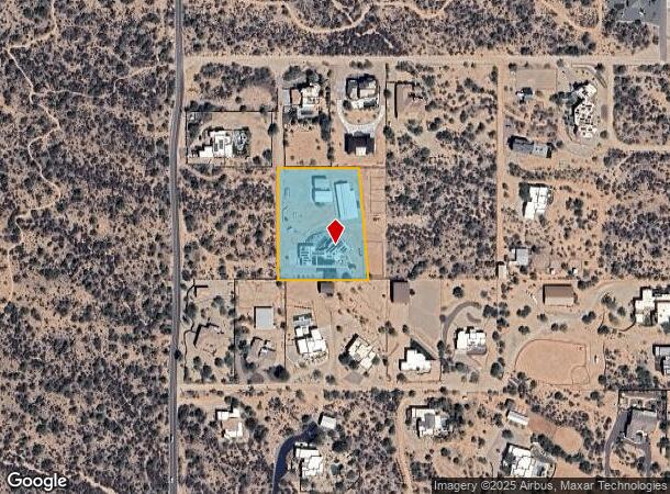
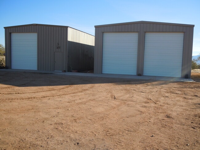
Property Record
13631 E Montgomery Rd, Scottsdale, AZ 85262
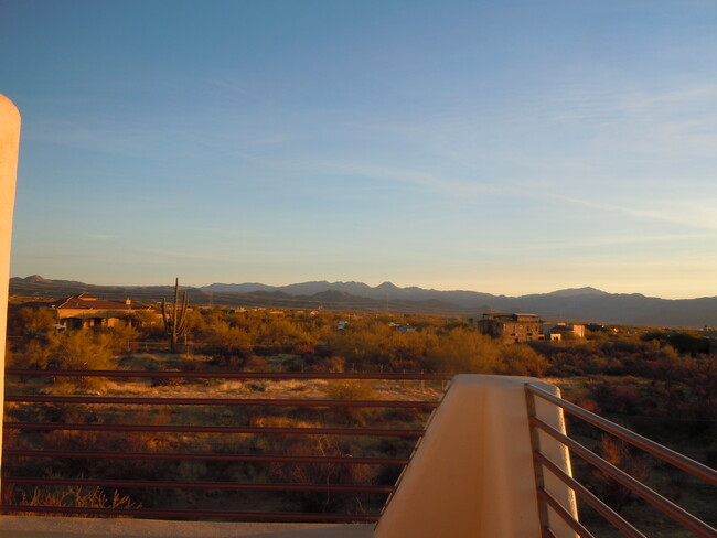
This Property Is For Sale
NEARBY LISTINGS FOR SALE OR LEASE
-
-
View all Scottsdale listings for sale on LoopNet.com
Property Detail
13631 E Montgomery Rd
219-40-262B
TH POR S2 N2 NW4 SW4 SEC 19 DAF COM W4 COR SD SEC 19 TH S 329.91F TH E 327.23F TO TPOB TH E 240.24F TH S 04D 45M E 331.03F TH W 268.13F TH N 329.91F TO POB AKA LOT 1 P/F 21-0535903
Sfr
Maricopa
AE
Arizona
04013C0919M
1.93 AC
2025
N Scottsdale/Carefree
2025
Phoenix
010103
Phoenix-Mesa-Chandler, AZ
2,977 SF
DEMOGRAPHICS near 13631 E Montgomery Rd
1 mile
3 mile
5 mile
2024 Total Population
762
3,922
14,702
2029 Population
853
4,376
16,610
Pop Growth 2024-2029
+ 11.94%
+ 11.58%
+ 12.98%
Average Age
49
49
56
2024 Total Households
308
1,575
6,639
HH Growth 2024-2029
+ 11.69%
+ 11.62%
+ 13.13%
Median Household Inc
$88,888
$105,059
$133,986
Avg Household Size
2.50
2.50
2.20
2024 Avg HH Vehicles
2.00
2.00
2.00
Median Home Value
$825,129
$800,916
$856,169
Median Year Built
2006
2006
2004
Nearby Places
Map Layers
Map Styles
 Street
 Aerial
Transit
 Traffic
 Biking
Places
Listings with unknown addresses are not visible on the map
- Restaurants
- Banks
- Shops
- Fitness
- Groceries
PUBLIC TRANSPORTATION
AIRPORT
Phoenix Sky Harbor International
Drive
Walk
Distance
Phoenix Sky Harbor International
61 min
35.5 mi
Nearby Properties
Address
Land Use
TOTAL SIZE
Lot Size
Zoning
Address
Land Use
TOTAL SIZE
Lot Size
Zoning
169,930 SF
656.35 AC
R1130
Address
Land Use
TOTAL SIZE
Lot Size
Zoning
3,759 SF
5.81 AC
RU43
Address
Land Use
TOTAL SIZE
Lot Size
Zoning
3,795 SF
4.23 AC
R-43
Address
Land Use
TOTAL SIZE
Lot Size
Zoning
3,587 SF
2.80 AC
Address
Land Use
TOTAL SIZE
Lot Size
Zoning
Address
Land Use
TOTAL SIZE
Lot Size
Zoning
3,954 SF
2.49 AC
R-43
Address
Land Use
TOTAL SIZE
Lot Size
Zoning
3,613 SF
3.41 AC
R-43
Address
Land Use
TOTAL SIZE
Lot Size
Zoning
2,403 SF
2.52 AC
R-43
Address
Land Use
TOTAL SIZE
Lot Size
Zoning
3,534 SF
1.07 AC
R-43
Address
Land Use
TOTAL SIZE
Lot Size
Zoning
553.38 AC
R-190
Address
Land Use
TOTAL SIZE
Lot Size
Zoning
13,012 SF
18.91 AC
R1190
Address
Land Use
TOTAL SIZE
Lot Size
Zoning
64,605 SF
5.02 AC
R-190
Address
Land Use
TOTAL SIZE
Lot Size
Zoning
67,406 SF
20.19 AC
R-43
Address
Land Use
TOTAL SIZE
Lot Size
Zoning
10 AC
R-190
Address
Land Use
TOTAL SIZE
Lot Size
Zoning
11,727 SF
15.54 AC
R-43
Address
Land Use
TOTAL SIZE
Lot Size
Zoning
152.07 AC
R-190
Address
Land Use
TOTAL SIZE
Lot Size
Zoning
5.87 AC
R1190
Address
Land Use
TOTAL SIZE
Lot Size
Zoning
12,149 SF
38.28 AC
R-43
Address
Land Use
TOTAL SIZE
Lot Size
Zoning
19.39 AC
R-43
Address
Land Use
TOTAL SIZE
Lot Size
Zoning
81,724 SF
9.39 AC
R-43
Address
Land Use
TOTAL SIZE
Lot Size
Zoning
8,316 SF
4.37 AC
R-190
Address
Land Use
TOTAL SIZE
Lot Size
Zoning
7,094 SF
7.96 AC
R-43
Address
Land Use
TOTAL SIZE
Lot Size
Zoning
6,824 SF
5.46 AC
Address
Land Use
TOTAL SIZE
Lot Size
Zoning
9,542 SF
2.25 AC
R-43
Address
Land Use
TOTAL SIZE
Lot Size
Zoning
7,355 SF
4.77 AC
R-190
The World's #1 Commercial Real Estate Marketplace
Connect with us
© 2026 CoStar Group
The information above has been obtained from sources believed reliable. While we do not doubt its accuracy we have not verified it and make no guarantee, warranty or representation about it. It is your responsibility to independently confirm its accuracy and completeness. Any projections, opinions, assumptions, or estimates used are for example only and do not represent the current or future performance of the property. The value of this transaction to you depends on tax and other factors which should be evaluated by your tax, financial, and legal advisors. You and your advisors should conduct a careful, independent investigation of the property to determine to your satisfaction the suitability of the property for your needs.