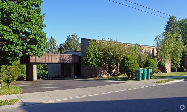
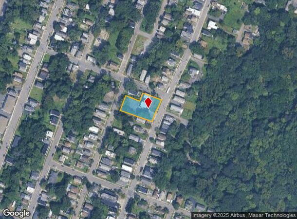
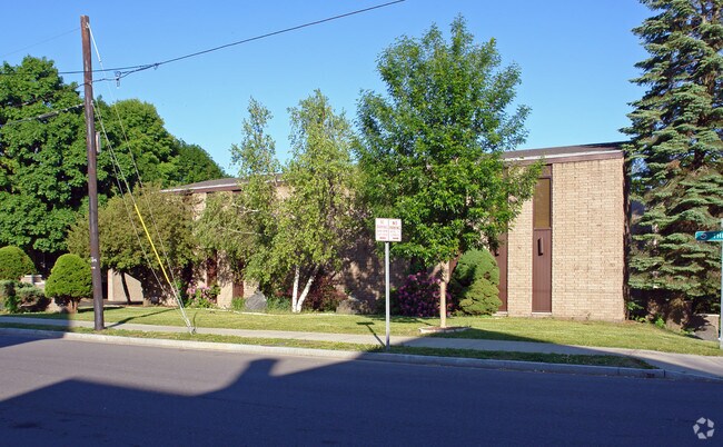
Property Record
1377 3Rd St, Rensselaer, NY 12144
NEARBY LISTINGS FOR SALE OR LEASE
Property Detail
1377 3Rd St
Albany-Schenectady-Troy, NY
BLDG
1400-144.29-5-2
Rensselaer
Officebuilding
New York
ARE
2.000
36083C0238D
0.57 AC
2025
Outer Rensselaer County
2024
Albany/Schenectady/Troy
051601
DEMOGRAPHICS near 1377 3Rd St
1 Mile
3 Mile
5 Mile
2024 Total Population
9,010
88,692
164,838
2029 Population
8,953
87,699
162,935
Pop Growth 2024-2029
(0.63%)
(1.12%)
(1.15%)
Average Age
39
37
39
2024 Total Households
4,424
39,030
71,457
HH Growth 2024-2029
(0.18%)
(1.11%)
(1.20%)
Median Household Inc
$51,146
$54,159
$66,806
Avg Household Size
2.00
2.10
2.10
2024 Avg HH Vehicles
1.00
1.00
1.00
Median Home Value
$177,153
$194,799
$231,972
Median Year Built
1959
1951
1957
Nearby Places
- Restaurants
- Banks
- Shops
- Fitness
- Groceries
PUBLIC TRANSPORTATION
COMMUTER RAIL
DRIVE
WALK
Distance
3 min
19 min
1.0 mi
AIRPORT
Albany International
DRIVE
WALK
Distance
Albany International
20 min
10.6 mi
Freight Ports
Albany, NY Port
DRIVE
WALK
Distance
Albany, NY Port
11 min
3.8 mi
Nearby Properties
Address
Land Use
TOTAL SIZE
Lot Size
Zoning
Address
Land Use
TOTAL SIZE
Lot Size
Zoning
901,573 SF
38 AC
CO
Address
Land Use
TOTAL SIZE
Lot Size
Zoning
11,372 SF
30 AC
CO
Address
Land Use
TOTAL SIZE
Lot Size
Zoning
674,048 SF
7.40 AC
CO
Address
Land Use
TOTAL SIZE
Lot Size
Zoning
33.88 AC
I2
Address
Land Use
TOTAL SIZE
Lot Size
Zoning
599,952 SF
28.30 AC
CO
Address
Land Use
TOTAL SIZE
Lot Size
Zoning
442,188 SF
15.10 AC
CO
Address
Land Use
TOTAL SIZE
Lot Size
Zoning
567,019 SF
1.42 AC
CO
Address
Land Use
TOTAL SIZE
Lot Size
Zoning
1.42 AC
C3
Address
Land Use
TOTAL SIZE
Lot Size
Zoning
133,984 SF
205.20 AC
C2
Address
Land Use
TOTAL SIZE
Lot Size
Zoning
368,685 SF
3.10 AC
CO
Address
Land Use
TOTAL SIZE
Lot Size
Zoning
152,951 SF
3.70 AC
CO
Address
Land Use
TOTAL SIZE
Lot Size
Zoning
197,169 SF
5 AC
CO
Address
Land Use
TOTAL SIZE
Lot Size
Zoning
358,360 SF
10.10 AC
CO
Address
Land Use
TOTAL SIZE
Lot Size
Zoning
206.10 AC
C2
Address
Land Use
TOTAL SIZE
Lot Size
Zoning
541,564 SF
7.40 AC
C3
Address
Land Use
TOTAL SIZE
Lot Size
Zoning
207.50 AC
CM
Address
Land Use
TOTAL SIZE
Lot Size
Zoning
802,560 SF
5.70 AC
R4
Address
Land Use
TOTAL SIZE
Lot Size
Zoning
156,056 SF
1.31 AC
CO
Address
Land Use
TOTAL SIZE
Lot Size
Zoning
177,030 SF
0.06 AC
C3
Address
Land Use
TOTAL SIZE
Lot Size
Zoning
199,495 SF
5.40 AC
CO
Address
Land Use
TOTAL SIZE
Lot Size
Zoning
889,560 SF
0.50 AC
CO
Address
Land Use
TOTAL SIZE
Lot Size
Zoning
12,660 SF
15.60 AC
CO
Address
Land Use
TOTAL SIZE
Lot Size
Zoning
166,812 SF
0.78 AC
CO
Address
Land Use
TOTAL SIZE
Lot Size
Zoning
296,914 SF
68.73 AC
PDD
Address
Land Use
TOTAL SIZE
Lot Size
Zoning
428,555 SF
1.20 AC
C3
Address
Land Use
TOTAL SIZE
Lot Size
Zoning
11,900 SF
28.60 AC
86
Address
Land Use
TOTAL SIZE
Lot Size
Zoning
105.28 AC
C2
Address
Land Use
TOTAL SIZE
Lot Size
Zoning
99,300 SF
4.66 AC
R2B
Address
Land Use
TOTAL SIZE
Lot Size
Zoning
211,848 SF
27.20 AC
R2A
Address
Land Use
TOTAL SIZE
Lot Size
Zoning
78,458 SF
28.70 AC
R1B
The World's #1 Commercial Real Estate Marketplace
Connect with us
© 2025 CoStar Group
The information above has been obtained from sources believed reliable. While we do not doubt its accuracy we have not verified it and make no guarantee, warranty or representation about it. It is your responsibility to independently confirm its accuracy and completeness. Any projections, opinions, assumptions, or estimates used are for example only and do not represent the current or future performance of the property. The value of this transaction to you depends on tax and other factors which should be evaluated by your tax, financial, and legal advisors. You and your advisors should conduct a careful, independent investigation of the property to determine to your satisfaction the suitability of the property for your needs.