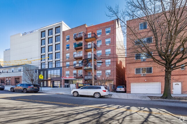
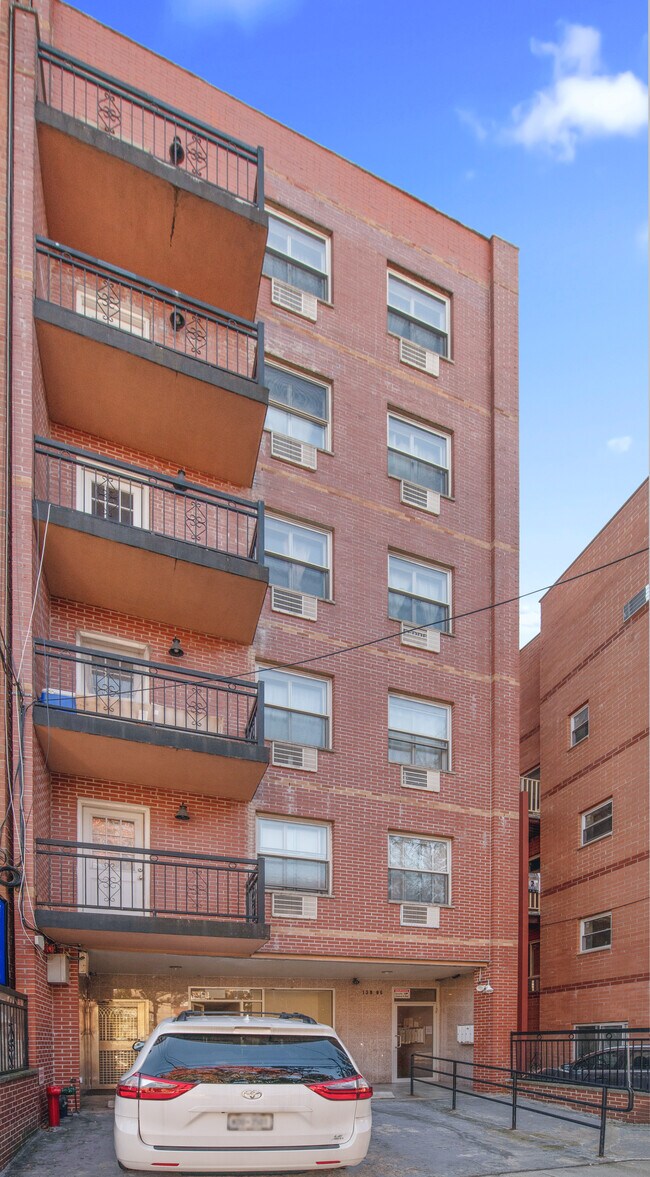
Property Record
13806 35Th Ave, Flushing, NY 11354


NEARBY LISTINGS FOR SALE OR LEASE
Property Detail
13806 35Th Ave
Commercialcondominium
Queens
X
New York
3604970114F
1001
2024
Downtown Flushing
2025
Long Island (New York)
086900
New York-Jersey City-White Plains, NY-NJ
1,634 SF
04961-1001
DEMOGRAPHICS near 13806 35Th Ave
1 mile
3 mile
5 mile
2024 Total Population
122,394
615,123
1,507,168
2029 Population
117,593
575,140
1,409,332
Pop Growth 2024-2029
(3.92%)
(6.50%)
(6.49%)
Average Age
45
42
42
2024 Total Households
45,050
208,868
534,924
HH Growth 2024-2029
(4.27%)
(6.60%)
(6.69%)
Median Household Inc
$46,000
$64,317
$69,707
Avg Household Size
2.60
2.80
2.70
2024 Avg HH Vehicles
1.00
1.00
1.00
Median Home Value
$490,362
$684,733
$689,723
Median Year Built
1962
1956
1954
Nearby Places
Map Layers
Map Styles
 Street
 Aerial
Transit
 Traffic
 Biking
Places
Listings with unknown addresses are not visible on the map
- Restaurants
- Banks
- Shops
- Fitness
- Groceries
SALE & LEASE HISTORY
LISTING DATE
SALE/LEASE

Sep 29, 2017
For Sale
Sep 23, 2016
For Sale
Nov 18, 2021
For Sale
Mar 20, 2017
For Lease
Feb 23, 2017
For Sale
Dec 25, 2023
For Lease
Dec 25, 2023
For Sale
Apr 19, 2021
For Sale
Nearby Properties
Address
Land Use
TOTAL SIZE
Lot Size
Zoning
Address
Land Use
TOTAL SIZE
Lot Size
Zoning
2,078,606 SF
58.93 AC
R4
Address
Land Use
TOTAL SIZE
Lot Size
Zoning
1,258,350 SF
410.24 AC
PARK
Address
Land Use
TOTAL SIZE
Lot Size
Zoning
1,292,074 SF
C4-2F
Address
Land Use
TOTAL SIZE
Lot Size
Zoning
234,891 SF
3.17 AC
C4-5X
Address
Land Use
TOTAL SIZE
Lot Size
Zoning
8.28 AC
R7-1
Address
Land Use
TOTAL SIZE
Lot Size
Zoning
8.28 AC
R7-1
Address
Land Use
TOTAL SIZE
Lot Size
Zoning
8.28 AC
R7-1
Address
Land Use
TOTAL SIZE
Lot Size
Zoning
15,000 SF
255.27 AC
PARK
Address
Land Use
TOTAL SIZE
Lot Size
Zoning
4,050 SF
113.40 AC
PARK
Address
Land Use
TOTAL SIZE
Lot Size
Zoning
4,800 SF
80.10 AC
PARK
Address
Land Use
TOTAL SIZE
Lot Size
Zoning
332,266 SF
12.57 AC
M2-1
Address
Land Use
TOTAL SIZE
Lot Size
Zoning
749,142 SF
16.48 AC
R6
Address
Land Use
TOTAL SIZE
Lot Size
Zoning
749,142 SF
16.48 AC
R6
Address
Land Use
TOTAL SIZE
Lot Size
Zoning
749,142 SF
16.48 AC
R6
Address
Land Use
TOTAL SIZE
Lot Size
Zoning
749,142 SF
16.48 AC
R6
Address
Land Use
TOTAL SIZE
Lot Size
Zoning
749,142 SF
16.48 AC
R6
Address
Land Use
TOTAL SIZE
Lot Size
Zoning
749,142 SF
16.48 AC
R6
Address
Land Use
TOTAL SIZE
Lot Size
Zoning
749,142 SF
16.48 AC
R6
Address
Land Use
TOTAL SIZE
Lot Size
Zoning
1,186,778 SF
31.45 AC
R4
Address
Land Use
TOTAL SIZE
Lot Size
Zoning
344,116 SF
0.92 AC
R7-1
Address
Land Use
TOTAL SIZE
Lot Size
Zoning
577,654 SF
5.38 AC
R6
Address
Land Use
TOTAL SIZE
Lot Size
Zoning
521,944 SF
16.68 AC
R4
Address
Land Use
TOTAL SIZE
Lot Size
Zoning
360,000 SF
5.88 AC
C4-2
Address
Land Use
TOTAL SIZE
Lot Size
Zoning
1,389,532 SF
31.54 AC
R6
Address
Land Use
TOTAL SIZE
Lot Size
Zoning
489,440 SF
12.69 AC
R5
Address
Land Use
TOTAL SIZE
Lot Size
Zoning
489,440 SF
12.69 AC
R5
Address
Land Use
TOTAL SIZE
Lot Size
Zoning
489,440 SF
12.69 AC
R5
Address
Land Use
TOTAL SIZE
Lot Size
Zoning
489,440 SF
12.69 AC
R5
Address
Land Use
TOTAL SIZE
Lot Size
Zoning
489,440 SF
12.69 AC
R5
Address
Land Use
TOTAL SIZE
Lot Size
Zoning
489,440 SF
12.69 AC
R5
The World's #1 Commercial Real Estate Marketplace
Connect with us
© 2026 CoStar Group
The information above has been obtained from sources believed reliable. While we do not doubt its accuracy we have not verified it and make no guarantee, warranty or representation about it. It is your responsibility to independently confirm its accuracy and completeness. Any projections, opinions, assumptions, or estimates used are for example only and do not represent the current or future performance of the property. The value of this transaction to you depends on tax and other factors which should be evaluated by your tax, financial, and legal advisors. You and your advisors should conduct a careful, independent investigation of the property to determine to your satisfaction the suitability of the property for your needs.