Property Record
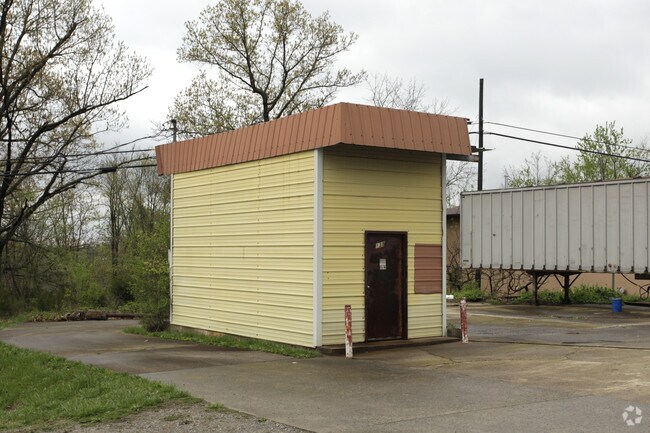
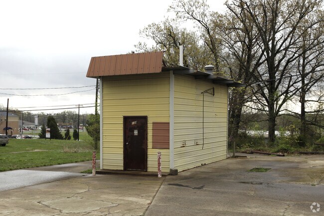
138 E Vine St, Radcliff, KY 40160

Property Detail
138 E Vine St
Elizabethtown, KY
CHANDLER EST LT1
160-40-03-033
Hardin
Commercialnec
Kentucky
B and X Area of moderate flood hazard, usually the area between the limits of the 100-year and 500-year floods.
1
2025
0.41 AC
2025
Other Market Areas
000700
NEARBY LISTINGS FOR SALE OR LEASE
-
-
View all Radcliff listings for sale on LoopNet.com
DEMOGRAPHICS near 138 E Vine St
1 mile
3 mile
5 mile
2025 Total Population
6,625
28,474
40,862
2030 Population
6,821
28,949
41,754
Pop Growth 2025-2030
+ 2.96%
+ 1.67%
+ 2.18%
Average Age
39
39
38
2025 Total Households
2,739
11,373
15,726
HH Growth 2025-2030
+ 3.03%
+ 1.87%
+ 2.26%
Median Household Inc
$50,799
$56,439
$61,848
Avg Household Size
2.40
2.40
2.50
2025 Avg HH Vehicles
2.00
2.00
2.00
Median Home Value
$189,898
$188,363
$206,446
Median Year Built
1978
1983
1986
Nearby Places
Map Layers
Map Styles
 Street
 Aerial
Transit
 Traffic
 Biking
Places
Listings with unknown addresses are not visible on the map
- Restaurants
- Banks
- Shops
- Fitness
- Groceries
PUBLIC TRANSPORTATION
AIRPORT
Louisville Muhammad Ali International
Drive
Walk
Distance
Louisville Muhammad Ali International
46 min
32.4 mi
Freight Ports
Port of Toledo
Drive
Walk
Distance
Port of Toledo
401 min
339.4 mi
Nearby Properties
Address
Land Use
TOTAL SIZE
Lot Size
Zoning
Address
Land Use
TOTAL SIZE
Lot Size
Zoning
37.07 AC
Address
Land Use
TOTAL SIZE
Lot Size
Zoning
7.90 AC
Address
Land Use
TOTAL SIZE
Lot Size
Zoning
36.44 AC
Address
Land Use
TOTAL SIZE
Lot Size
Zoning
Address
Land Use
TOTAL SIZE
Lot Size
Zoning
Address
Land Use
TOTAL SIZE
Lot Size
Zoning
14.77 AC
Address
Land Use
TOTAL SIZE
Lot Size
Zoning
2.24 AC
Address
Land Use
TOTAL SIZE
Lot Size
Zoning
Address
Land Use
TOTAL SIZE
Lot Size
Zoning
12.06 AC
Address
Land Use
TOTAL SIZE
Lot Size
Zoning
1.22 AC
Address
Land Use
TOTAL SIZE
Lot Size
Zoning
Address
Land Use
TOTAL SIZE
Lot Size
Zoning
23.03 AC
Address
Land Use
TOTAL SIZE
Lot Size
Zoning
24.10 AC
Address
Land Use
TOTAL SIZE
Lot Size
Zoning
2.37 AC
Address
Land Use
TOTAL SIZE
Lot Size
Zoning
Address
Land Use
TOTAL SIZE
Lot Size
Zoning
Address
Land Use
TOTAL SIZE
Lot Size
Zoning
1.80 AC
Address
Land Use
TOTAL SIZE
Lot Size
Zoning
Address
Land Use
TOTAL SIZE
Lot Size
Zoning
4.66 AC
Address
Land Use
TOTAL SIZE
Lot Size
Zoning
Address
Land Use
TOTAL SIZE
Lot Size
Zoning
2.17 AC
Address
Land Use
TOTAL SIZE
Lot Size
Zoning
Address
Land Use
TOTAL SIZE
Lot Size
Zoning
Address
Land Use
TOTAL SIZE
Lot Size
Zoning
4.65 AC
Address
Land Use
TOTAL SIZE
Lot Size
Zoning
13.14 AC
Address
Land Use
TOTAL SIZE
Lot Size
Zoning
Address
Land Use
TOTAL SIZE
Lot Size
Zoning
10.82 AC
Address
Land Use
TOTAL SIZE
Lot Size
Zoning
Address
Land Use
TOTAL SIZE
Lot Size
Zoning
Address
Land Use
TOTAL SIZE
Lot Size
Zoning
29.71 AC
The World's #1 Commercial Real Estate Marketplace
Connect with us
© 2026 CoStar Group
The information above has been obtained from sources believed reliable. While we do not doubt its accuracy we have not verified it and make no guarantee, warranty or representation about it. It is your responsibility to independently confirm its accuracy and completeness. Any projections, opinions, assumptions, or estimates used are for example only and do not represent the current or future performance of the property. The value of this transaction to you depends on tax and other factors which should be evaluated by your tax, financial, and legal advisors. You and your advisors should conduct a careful, independent investigation of the property to determine to your satisfaction the suitability of the property for your needs.