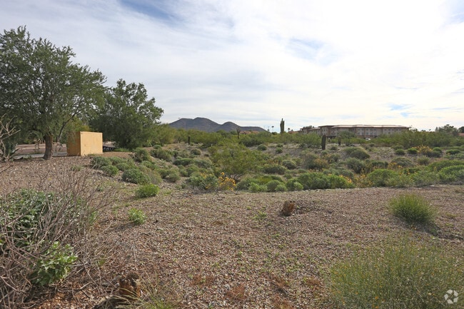
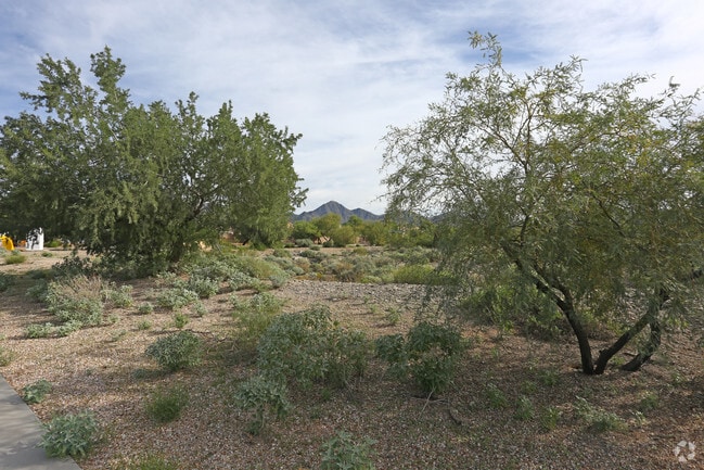
Property Record
13870 N Frank Lloyd Wright Blvd, Scottsdale, AZ 85260

NEARBY LISTINGS FOR SALE OR LEASE
Property Detail
13870 N Frank Lloyd Wright Blvd
Phoenix-Mesa-Scottsdale, AZ
Headwaters Scottsdale
217-26-953
HEADWATERS SCOTTSDALE MCR 1831-01
Commercialacreage
Maricopa
X
Arizona
04013C1780L
1a
2025
6.71 AC
2025
Scottsdale Airpark
216839
Phoenix
DEMOGRAPHICS near 13870 N Frank Lloyd Wright Blvd
1 Mile
3 Mile
5 Mile
2024 Total Population
13,298
69,676
140,043
2029 Population
14,412
75,953
153,706
Pop Growth 2024-2029
+ 8.38%
+ 9.01%
+ 9.76%
Average Age
44
45
46
2024 Total Households
5,937
31,761
64,032
HH Growth 2024-2029
+ 8.52%
+ 9.20%
+ 10.03%
Median Household Inc
$103,812
$106,328
$112,657
Avg Household Size
2.10
2.10
2.10
2024 Avg HH Vehicles
2.00
2.00
2.00
Median Home Value
$591,487
$669,879
$720,084
Median Year Built
1993
1992
1992
Nearby Places
Map Layers
Map Styles
 Street
 Aerial
- Restaurants
- Banks
- Shops
- Fitness
- Groceries
PUBLIC TRANSPORTATION
AIRPORT
Phoenix Sky Harbor International
DRIVE
WALK
Distance
Phoenix Sky Harbor International
30 min
20.9 mi
Phoenix-Mesa Gateway
DRIVE
WALK
Distance
Phoenix-Mesa Gateway
50 min
35.9 mi
Freight Ports
Port of San Diego
DRIVE
WALK
Distance
Port of San Diego
425 min
386.4 mi
SALE & LEASE HISTORY
LISTING DATE
SALE/LEASE

Sep 25, 2019
For Sale
Sep 24, 2016
For Sale
Nearby Properties
Address
Land Use
TOTAL SIZE
Lot Size
Zoning
Address
Land Use
TOTAL SIZE
Lot Size
Zoning
667,688 SF
277.21 AC
Address
Land Use
TOTAL SIZE
Lot Size
Zoning
500,010 SF
4.52 AC
PF
Address
Land Use
TOTAL SIZE
Lot Size
Zoning
794,304 SF
14.59 AC
WTP
Address
Land Use
TOTAL SIZE
Lot Size
Zoning
762,044 SF
16.66 AC
I1
Address
Land Use
TOTAL SIZE
Lot Size
Zoning
7,803 SF
2.31 AC
I-P
Address
Land Use
TOTAL SIZE
Lot Size
Zoning
533,288 SF
18.61 AC
I-P
Address
Land Use
TOTAL SIZE
Lot Size
Zoning
824,672 SF
11.52 AC
Address
Land Use
TOTAL SIZE
Lot Size
Zoning
124,656 SF
160 AC
R-35
Address
Land Use
TOTAL SIZE
Lot Size
Zoning
380,106 SF
38.10 AC
C-T
Address
Land Use
TOTAL SIZE
Lot Size
Zoning
355,757 SF
32.44 AC
C-R
Address
Land Use
TOTAL SIZE
Lot Size
Zoning
542,795 SF
5.56 AC
PCP
Address
Land Use
TOTAL SIZE
Lot Size
Zoning
580,604 SF
7.52 AC
C-T
Address
Land Use
TOTAL SIZE
Lot Size
Zoning
88.08 AC
W-P
Address
Land Use
TOTAL SIZE
Lot Size
Zoning
423,600 SF
5.13 AC
I1
Address
Land Use
TOTAL SIZE
Lot Size
Zoning
353,691 SF
16.18 AC
M-H
Address
Land Use
TOTAL SIZE
Lot Size
Zoning
496,809 SF
21.87 AC
M-H
Address
Land Use
TOTAL SIZE
Lot Size
Zoning
399,994 SF
27.03 AC
R5
Address
Land Use
TOTAL SIZE
Lot Size
Zoning
208,782 SF
25.22 AC
C3
Address
Land Use
TOTAL SIZE
Lot Size
Zoning
498,024 SF
4.59 AC
PCP
Address
Land Use
TOTAL SIZE
Lot Size
Zoning
Address
Land Use
TOTAL SIZE
Lot Size
Zoning
247,810 SF
29.27 AC
Address
Land Use
TOTAL SIZE
Lot Size
Zoning
397,700 SF
7.68 AC
C-C
Address
Land Use
TOTAL SIZE
Lot Size
Zoning
20,355 SF
38.96 AC
M-H
Address
Land Use
TOTAL SIZE
Lot Size
Zoning
403,698 SF
27.05 AC
M-H
Address
Land Use
TOTAL SIZE
Lot Size
Zoning
163,359 SF
19.36 AC
C-R
Address
Land Use
TOTAL SIZE
Lot Size
Zoning
376,451 SF
12.47 AC
M-H
Address
Land Use
TOTAL SIZE
Lot Size
Zoning
290,758 SF
5.11 AC
C-C
Address
Land Use
TOTAL SIZE
Lot Size
Zoning
216,366 SF
13.28 AC
R-5
Address
Land Use
TOTAL SIZE
Lot Size
Zoning
321,782 SF
7.62 AC
M-H
The World's #1 Commercial Real Estate Marketplace
Connect with us
© 2025 CoStar Group
The information above has been obtained from sources believed reliable. While we do not doubt its accuracy we have not verified it and make no guarantee, warranty or representation about it. It is your responsibility to independently confirm its accuracy and completeness. Any projections, opinions, assumptions, or estimates used are for example only and do not represent the current or future performance of the property. The value of this transaction to you depends on tax and other factors which should be evaluated by your tax, financial, and legal advisors. You and your advisors should conduct a careful, independent investigation of the property to determine to your satisfaction the suitability of the property for your needs.