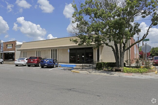
Property Record
139 E Main St, Whitesboro, TX 76273
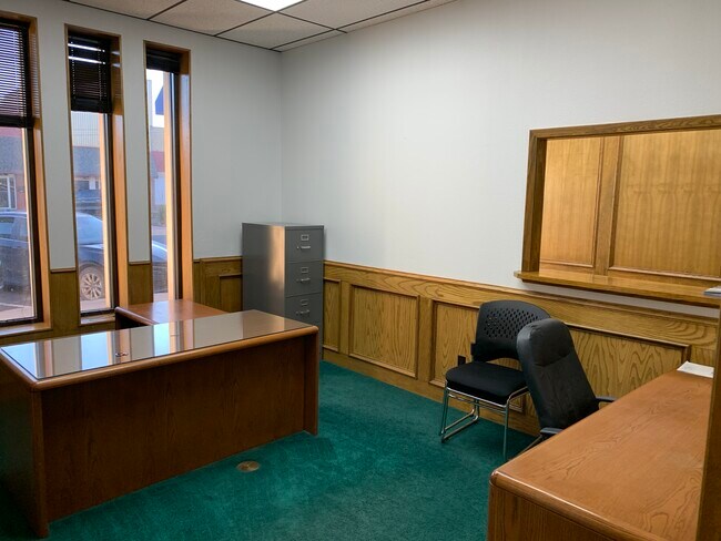
Property Detail
139 E Main St
Sherman-Denison, TX
TROLLINGERS 1ST ADDN, BLOCK 2, LOT 3, 4, ACRES .275
170271
GRAYSON
Commercialnec
Texas
B and X Area of moderate flood hazard, usually the area between the limits of the 100-year and 500-year floods.
3,4
2024
0.40 AC
2025
Whitesboro
001103
Other Market Areas
690 SF
NEARBY LISTINGS FOR SALE OR LEASE
DEMOGRAPHICS near 139 E Main St
1 mile
3 mile
5 mile
2025 Total Population
4,038
6,129
8,793
2030 Population
4,383
6,630
9,455
Pop Growth 2025-2030
+ 8.54%
+ 8.17%
+ 7.53%
Average Age
39
40
41
2025 Total Households
1,593
2,408
3,444
HH Growth 2025-2030
+ 8.54%
+ 8.22%
+ 7.58%
Median Household Inc
$59,120
$67,042
$73,804
Avg Household Size
2.50
2.50
2.50
2025 Avg HH Vehicles
2.00
2.00
2.00
Median Home Value
$250,686
$265,600
$281,268
Median Year Built
1981
1984
1988
Nearby Places
Map Layers
Map Styles
 Street
 Aerial
Transit
 Traffic
 Biking
Places
Listings with unknown addresses are not visible on the map
- Restaurants
- Banks
- Shops
- Fitness
- Groceries
SALE & LEASE HISTORY
LISTING DATE
SALE/LEASE

Jul 11, 2017
For Sale
Dec 04, 2020
For Lease
Nearby Properties
Address
Land Use
TOTAL SIZE
Lot Size
Zoning
Address
Land Use
TOTAL SIZE
Lot Size
Zoning
81,304 SF
24.30 AC
Address
Land Use
TOTAL SIZE
Lot Size
Zoning
123,248 SF
49.14 AC
Address
Land Use
TOTAL SIZE
Lot Size
Zoning
63,352 SF
5.07 AC
Address
Land Use
TOTAL SIZE
Lot Size
Zoning
70,304 SF
4 AC
Address
Land Use
TOTAL SIZE
Lot Size
Zoning
66,897 SF
3.30 AC
Address
Land Use
TOTAL SIZE
Lot Size
Zoning
65,269 SF
35.30 AC
Address
Land Use
TOTAL SIZE
Lot Size
Zoning
11,394 SF
4 AC
Address
Land Use
TOTAL SIZE
Lot Size
Zoning
35,891 SF
4.42 AC
Address
Land Use
TOTAL SIZE
Lot Size
Zoning
26,528 SF
2.80 AC
Address
Land Use
TOTAL SIZE
Lot Size
Zoning
37,680 SF
6.50 AC
Address
Land Use
TOTAL SIZE
Lot Size
Zoning
1,200 SF
18.94 AC
Address
Land Use
TOTAL SIZE
Lot Size
Zoning
19,578 SF
2.76 AC
Address
Land Use
TOTAL SIZE
Lot Size
Zoning
62,979 SF
6.68 AC
Address
Land Use
TOTAL SIZE
Lot Size
Zoning
Address
Land Use
TOTAL SIZE
Lot Size
Zoning
19,238 SF
0.88 AC
Address
Land Use
TOTAL SIZE
Lot Size
Zoning
4,176 SF
10 AC
Address
Land Use
TOTAL SIZE
Lot Size
Zoning
77,750 SF
4.32 AC
Address
Land Use
TOTAL SIZE
Lot Size
Zoning
6,182 SF
86.90 AC
Address
Land Use
TOTAL SIZE
Lot Size
Zoning
5,569 SF
42 AC
Address
Land Use
TOTAL SIZE
Lot Size
Zoning
21,623 SF
6.24 AC
Address
Land Use
TOTAL SIZE
Lot Size
Zoning
49,940 SF
3.33 AC
Address
Land Use
TOTAL SIZE
Lot Size
Zoning
11,172 SF
0.90 AC
Address
Land Use
TOTAL SIZE
Lot Size
Zoning
7,360 SF
2.90 AC
Address
Land Use
TOTAL SIZE
Lot Size
Zoning
14,640 SF
11.42 AC
Address
Land Use
TOTAL SIZE
Lot Size
Zoning
8,000 SF
0.69 AC
Address
Land Use
TOTAL SIZE
Lot Size
Zoning
35,500 SF
3.48 AC
Address
Land Use
TOTAL SIZE
Lot Size
Zoning
4,088 SF
1 AC
Address
Land Use
TOTAL SIZE
Lot Size
Zoning
31,600 SF
4.52 AC
Address
Land Use
TOTAL SIZE
Lot Size
Zoning
7,680 SF
0.83 AC
Address
Land Use
TOTAL SIZE
Lot Size
Zoning
2,400 SF
0.86 AC
The World's #1 Commercial Real Estate Marketplace
Connect with us
© 2026 CoStar Group
The information above has been obtained from sources believed reliable. While we do not doubt its accuracy we have not verified it and make no guarantee, warranty or representation about it. It is your responsibility to independently confirm its accuracy and completeness. Any projections, opinions, assumptions, or estimates used are for example only and do not represent the current or future performance of the property. The value of this transaction to you depends on tax and other factors which should be evaluated by your tax, financial, and legal advisors. You and your advisors should conduct a careful, independent investigation of the property to determine to your satisfaction the suitability of the property for your needs.