Property Record
139 Golf Mill Ctr, Niles, IL 60714
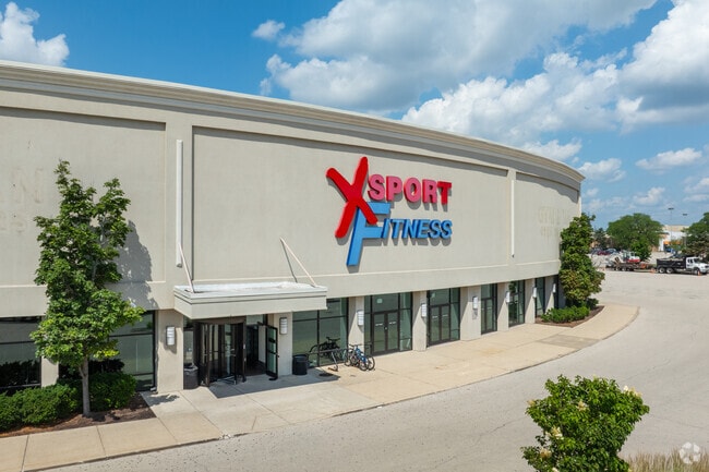


Property Detail
139 Golf Mill Ctr
09-14-108-026-0000
COOK
Regionalshoppingcenterormallwithanchorstore
Illinois
2023
Near North
2025
Chicago
805401
Chicago-Naperville-Elgin, IL-IN
188,728 SF
NEARBY LISTINGS FOR SALE OR LEASE
DEMOGRAPHICS near 139 Golf Mill Ctr
1 mile
3 mile
5 mile
2025 Total Population
24,969
151,019
368,902
2030 Population
25,089
152,004
371,655
Pop Growth 2025-2030
+ 0.48%
+ 0.65%
+ 0.75%
Average Age
44
44
44
2025 Total Households
9,034
57,117
139,227
HH Growth 2025-2030
+ 0.22%
+ 0.52%
+ 0.57%
Median Household Inc
$76,806
$96,257
$102,020
Avg Household Size
2.60
2.50
2.50
2025 Avg HH Vehicles
2.00
2.00
2.00
Median Home Value
$355,195
$395,693
$404,889
Median Year Built
1966
1966
1964
Nearby Places
Map Layers
Map Styles
 Street
 Aerial
Layers
 Traffic
 Biking
Places
Listings with unknown addresses are not visible on the map
- Restaurants
- Banks
- Shops
- Fitness
- Groceries
PUBLIC TRANSPORTATION
COMMUTER RAIL
Dee Road Station (Union Pacific Northwest Line - Northeast Illinois Regional Commuter Railroad (Metra))
Drive
Walk
Distance
Dee Road Station (Union Pacific Northwest Line - Northeast Illinois Regional Commuter Railroad (Metra))
7 min
2.9 mi
Golf Station (Milwaukee District North Line - Northeast Illinois Regional Commuter Railroad (Metra))
Drive
Walk
Distance
Golf Station (Milwaukee District North Line - Northeast Illinois Regional Commuter Railroad (Metra))
6 min
2.9 mi
AIRPORT
Chicago O'Hare International
Drive
Walk
Distance
Chicago O'Hare International
15 min
8.7 mi
Chicago Midway International
Drive
Walk
Distance
Chicago Midway International
38 min
21.2 mi
Freight Ports
Port Milwaukee
Drive
Walk
Distance
Port Milwaukee
85 min
71.7 mi
Nearby Properties
Address
Land Use
TOTAL SIZE
Lot Size
Zoning
Address
Land Use
TOTAL SIZE
Lot Size
Zoning
39.26 AC
Address
Land Use
TOTAL SIZE
Lot Size
Zoning
206,160 SF
9.44 AC
Address
Land Use
TOTAL SIZE
Lot Size
Zoning
76,014 SF
2.81 AC
Address
Land Use
TOTAL SIZE
Lot Size
Zoning
552,862 SF
45.76 AC
Address
Land Use
TOTAL SIZE
Lot Size
Zoning
611,799 SF
17.61 AC
Address
Land Use
TOTAL SIZE
Lot Size
Zoning
98,802 SF
1.06 AC
Address
Land Use
TOTAL SIZE
Lot Size
Zoning
450,768 SF
6.97 AC
Address
Land Use
TOTAL SIZE
Lot Size
Zoning
495,857 SF
19.55 AC
Address
Land Use
TOTAL SIZE
Lot Size
Zoning
449,568 SF
22.73 AC
Address
Land Use
TOTAL SIZE
Lot Size
Zoning
284,708 SF
17.74 AC
Address
Land Use
TOTAL SIZE
Lot Size
Zoning
103,323 SF
10.65 AC
Address
Land Use
TOTAL SIZE
Lot Size
Zoning
405,484 SF
Address
Land Use
TOTAL SIZE
Lot Size
Zoning
276,112 SF
10.02 AC
Address
Land Use
TOTAL SIZE
Lot Size
Zoning
424,257 SF
Address
Land Use
TOTAL SIZE
Lot Size
Zoning
59,013 SF
1.90 AC
Address
Land Use
TOTAL SIZE
Lot Size
Zoning
23.45 AC
Address
Land Use
TOTAL SIZE
Lot Size
Zoning
73,815 SF
4.35 AC
Address
Land Use
TOTAL SIZE
Lot Size
Zoning
98,185 SF
4.66 AC
Address
Land Use
TOTAL SIZE
Lot Size
Zoning
13.13 AC
Address
Land Use
TOTAL SIZE
Lot Size
Zoning
Address
Land Use
TOTAL SIZE
Lot Size
Zoning
91,505 SF
4.86 AC
Address
Land Use
TOTAL SIZE
Lot Size
Zoning
5,769 SF
18.18 AC
Address
Land Use
TOTAL SIZE
Lot Size
Zoning
166,728 SF
11.79 AC
Address
Land Use
TOTAL SIZE
Lot Size
Zoning
195,849 SF
6.55 AC
Address
Land Use
TOTAL SIZE
Lot Size
Zoning
78,819 SF
5.86 AC
Address
Land Use
TOTAL SIZE
Lot Size
Zoning
189,892 SF
Address
Land Use
TOTAL SIZE
Lot Size
Zoning
274,289 SF
1.56 AC
Address
Land Use
TOTAL SIZE
Lot Size
Zoning
179.20 AC
Address
Land Use
TOTAL SIZE
Lot Size
Zoning
10.78 AC
The World's #1 Commercial Real Estate Marketplace
Connect with us
© 2026 CoStar Group
The information above has been obtained from sources believed reliable. While we do not doubt its accuracy we have not verified it and make no guarantee, warranty or representation about it. It is your responsibility to independently confirm its accuracy and completeness. Any projections, opinions, assumptions, or estimates used are for example only and do not represent the current or future performance of the property. The value of this transaction to you depends on tax and other factors which should be evaluated by your tax, financial, and legal advisors. You and your advisors should conduct a careful, independent investigation of the property to determine to your satisfaction the suitability of the property for your needs.