Property Record
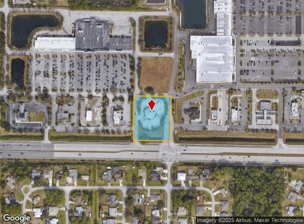
139 Palm Bay Rd Ne, Melbourne, FL 32904


NEARBY LISTINGS FOR SALE OR LEASE
Property Detail
139 Palm Bay Rd Ne
28-37-19-00-00262.0-0000.00
PART OF LOT 23 OF PB 1 PG 164 DESC AS LOT A IN ORB 5346 PG 1496
Financialbuilding
Brevard
X
Florida
12009C0595G
23,a
2024
1.82 AC
2025
Brevard County
071335
Orlando
6,631 SF
Palm Bay-Melbourne-Titusville, FL
DEMOGRAPHICS near 139 Palm Bay Rd Ne
1 Mile
3 Mile
5 Mile
2024 Total Population
6,180
76,753
159,089
2029 Population
6,787
84,059
174,977
Pop Growth 2024-2029
+ 9.82%
+ 9.52%
+ 9.99%
Average Age
44
43
43
2024 Total Households
2,595
31,067
63,554
HH Growth 2024-2029
+ 9.75%
+ 9.42%
+ 9.84%
Median Household Inc
$68,963
$64,207
$56,310
Avg Household Size
2.30
2.40
2.40
2024 Avg HH Vehicles
2.00
2.00
2.00
Median Home Value
$228,933
$241,573
$224,555
Median Year Built
1991
1991
1989
Nearby Places
Map Layers
Map Styles
 Street
 Aerial
- Restaurants
- Banks
- Shops
- Fitness
- Groceries
PUBLIC TRANSPORTATION
AIRPORT
Melbourne Orlando International
DRIVE
WALK
Distance
Melbourne Orlando International
17 min
6.7 mi
Nearby Properties
Address
Land Use
TOTAL SIZE
Lot Size
Zoning
Address
Land Use
TOTAL SIZE
Lot Size
Zoning
506,643 SF
80 AC
RA
Address
Land Use
TOTAL SIZE
Lot Size
Zoning
380,944 SF
32.18 AC
RA
Address
Land Use
TOTAL SIZE
Lot Size
Zoning
458,852 SF
23.05 AC
GU
Address
Land Use
TOTAL SIZE
Lot Size
Zoning
391,740 SF
30 AC
Address
Land Use
TOTAL SIZE
Lot Size
Zoning
582,248 SF
65.30 AC
RA
Address
Land Use
TOTAL SIZE
Lot Size
Zoning
292,165 SF
24.39 AC
RM15
Address
Land Use
TOTAL SIZE
Lot Size
Zoning
373,700 SF
12.96 AC
Address
Land Use
TOTAL SIZE
Lot Size
Zoning
368,326 SF
14.77 AC
C1
Address
Land Use
TOTAL SIZE
Lot Size
Zoning
387,843 SF
27.19 AC
R3
Address
Land Use
TOTAL SIZE
Lot Size
Zoning
321,761 SF
21.27 AC
RM15
Address
Land Use
TOTAL SIZE
Lot Size
Zoning
349,772 SF
16.27 AC
R2
Address
Land Use
TOTAL SIZE
Lot Size
Zoning
297,886 SF
32.38 AC
C-1
Address
Land Use
TOTAL SIZE
Lot Size
Zoning
268,487 SF
20.08 AC
RA
Address
Land Use
TOTAL SIZE
Lot Size
Zoning
276,936 SF
18.44 AC
RM20
Address
Land Use
TOTAL SIZE
Lot Size
Zoning
270,428 SF
19.69 AC
R2
Address
Land Use
TOTAL SIZE
Lot Size
Zoning
309,725 SF
14.70 AC
R2 (6)
Address
Land Use
TOTAL SIZE
Lot Size
Zoning
219,628 SF
29.84 AC
R2(6)
Address
Land Use
TOTAL SIZE
Lot Size
Zoning
203,448 SF
10.36 AC
C2
Address
Land Use
TOTAL SIZE
Lot Size
Zoning
139,968 SF
23.46 AC
CRA
Address
Land Use
TOTAL SIZE
Lot Size
Zoning
225,833 SF
14.45 AC
R2
Address
Land Use
TOTAL SIZE
Lot Size
Zoning
188,927 SF
17.97 AC
CP
Address
Land Use
TOTAL SIZE
Lot Size
Zoning
97,093 SF
20.87 AC
Address
Land Use
TOTAL SIZE
Lot Size
Zoning
248,019 SF
12.22 AC
P1
Address
Land Use
TOTAL SIZE
Lot Size
Zoning
290,105 SF
30.94 AC
CC
Address
Land Use
TOTAL SIZE
Lot Size
Zoning
95,944 SF
17.22 AC
GU
Address
Land Use
TOTAL SIZE
Lot Size
Zoning
2,128 SF
6.92 AC
P1
Address
Land Use
TOTAL SIZE
Lot Size
Zoning
379,638 SF
21.37 AC
Address
Land Use
TOTAL SIZE
Lot Size
Zoning
117,568 SF
28.97 AC
IU
Address
Land Use
TOTAL SIZE
Lot Size
Zoning
195,032 SF
13.26 AC
RM15
Address
Land Use
TOTAL SIZE
Lot Size
Zoning
118,747 SF
11.43 AC
RM10
The World's #1 Commercial Real Estate Marketplace
Connect with us
© 2025 CoStar Group
The information above has been obtained from sources believed reliable. While we do not doubt its accuracy we have not verified it and make no guarantee, warranty or representation about it. It is your responsibility to independently confirm its accuracy and completeness. Any projections, opinions, assumptions, or estimates used are for example only and do not represent the current or future performance of the property. The value of this transaction to you depends on tax and other factors which should be evaluated by your tax, financial, and legal advisors. You and your advisors should conduct a careful, independent investigation of the property to determine to your satisfaction the suitability of the property for your needs.