Property Record
1391 Phelps Junction Rd, Phelps, NY 14532
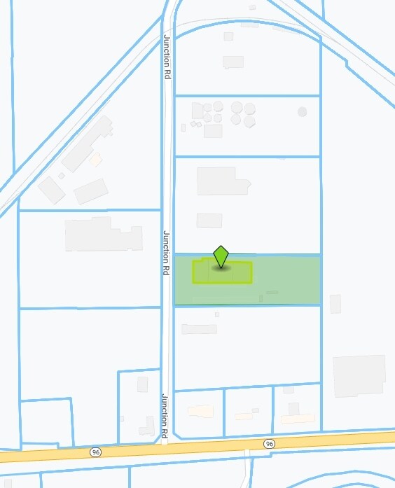

Property Detail
1391 Phelps Junction Rd
Rochester, NY
3.0 ACRES
324089-035-000-0002-074-200
Ontario
Manufacturinglight
New York
06 - INDUS
74.200
2025
2.90 AC
2025
Outlying Ontario County
050402
Rochester
19,473 SF
NEARBY LISTINGS FOR SALE OR LEASE
DEMOGRAPHICS near 1391 Phelps Junction Rd
1 mile
3 mile
5 mile
2025 Total Population
653
5,581
11,373
2030 Population
645
5,507
11,245
Pop Growth 2025-2030
(1.23%)
(1.33%)
(1.13%)
Average Age
44
45
45
2025 Total Households
288
2,293
4,744
HH Growth 2025-2030
(1.74%)
(1.44%)
(1.20%)
Median Household Inc
$60,750
$64,784
$61,594
Avg Household Size
2.20
2.30
2.30
2025 Avg HH Vehicles
2.00
2.00
2.00
Median Home Value
$158,695
$165,843
$154,041
Median Year Built
1949
1948
1957
Nearby Places
Map Layers
Map Styles
 Street
 Aerial
Layers
 Traffic
 Biking
Places
Listings with unknown addresses are not visible on the map
- Restaurants
- Banks
- Shops
- Fitness
- Groceries
PUBLIC TRANSPORTATION
AIRPORT
Frederick Douglass/Greater Rochester International
Drive
Walk
Distance
Frederick Douglass/Greater Rochester International
54 min
36.8 mi
Nearby Properties
Address
Land Use
TOTAL SIZE
Lot Size
Zoning
Address
Land Use
TOTAL SIZE
Lot Size
Zoning
118.90 AC
05 - COMME
Address
Land Use
TOTAL SIZE
Lot Size
Zoning
21.50 AC
03 - MULTI
Address
Land Use
TOTAL SIZE
Lot Size
Zoning
Address
Land Use
TOTAL SIZE
Lot Size
Zoning
65,130 SF
25.60 AC
06 - INDUS
Address
Land Use
TOTAL SIZE
Lot Size
Zoning
263,986 SF
26.70 AC
03 - MULTI
Address
Land Use
TOTAL SIZE
Lot Size
Zoning
Address
Land Use
TOTAL SIZE
Lot Size
Zoning
Address
Land Use
TOTAL SIZE
Lot Size
Zoning
77,567 SF
6.20 AC
04 - FARM
Address
Land Use
TOTAL SIZE
Lot Size
Zoning
Address
Land Use
TOTAL SIZE
Lot Size
Zoning
1.70 AC
03 - MULTI
Address
Land Use
TOTAL SIZE
Lot Size
Zoning
4,416 SF
4.20 AC
05 - COMME
Address
Land Use
TOTAL SIZE
Lot Size
Zoning
0.45 AC
03 - MULTI
Address
Land Use
TOTAL SIZE
Lot Size
Zoning
307.20 AC
04 - FARM
Address
Land Use
TOTAL SIZE
Lot Size
Zoning
Address
Land Use
TOTAL SIZE
Lot Size
Zoning
2,100 SF
1.30 AC
02 - SINGL
Address
Land Use
TOTAL SIZE
Lot Size
Zoning
54,700 SF
9.50 AC
06 - INDUS
Address
Land Use
TOTAL SIZE
Lot Size
Zoning
7.10 AC
04 - FARM
Address
Land Use
TOTAL SIZE
Lot Size
Zoning
0.57 AC
03 - MULTI
Address
Land Use
TOTAL SIZE
Lot Size
Zoning
9,728 SF
7.10 AC
06 - INDUS
Address
Land Use
TOTAL SIZE
Lot Size
Zoning
7,700 SF
5.60 AC
06 - INDUS
Address
Land Use
TOTAL SIZE
Lot Size
Zoning
6.10 AC
04 - FARM
Address
Land Use
TOTAL SIZE
Lot Size
Zoning
32,539 SF
10.80 AC
06 - INDUS
Address
Land Use
TOTAL SIZE
Lot Size
Zoning
30,000 SF
6.70 AC
06 - INDUS
Address
Land Use
TOTAL SIZE
Lot Size
Zoning
51,455 SF
12.14 AC
05 - COMME
Address
Land Use
TOTAL SIZE
Lot Size
Zoning
6,816 SF
19.10 AC
02 - SINGL
Address
Land Use
TOTAL SIZE
Lot Size
Zoning
22,696 SF
1.60 AC
05 - COMME
Address
Land Use
TOTAL SIZE
Lot Size
Zoning
Address
Land Use
TOTAL SIZE
Lot Size
Zoning
Address
Land Use
TOTAL SIZE
Lot Size
Zoning
59,724 SF
2.40 AC
03 - MULTI
Address
Land Use
TOTAL SIZE
Lot Size
Zoning
6,271 SF
157.80 AC
AG
The World's #1 Commercial Real Estate Marketplace
Connect with us
© 2026 CoStar Group
The information above has been obtained from sources believed reliable. While we do not doubt its accuracy we have not verified it and make no guarantee, warranty or representation about it. It is your responsibility to independently confirm its accuracy and completeness. Any projections, opinions, assumptions, or estimates used are for example only and do not represent the current or future performance of the property. The value of this transaction to you depends on tax and other factors which should be evaluated by your tax, financial, and legal advisors. You and your advisors should conduct a careful, independent investigation of the property to determine to your satisfaction the suitability of the property for your needs.