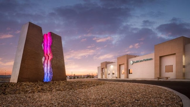
Property Record
1397 S Loop Rd, Pahrump, NV 89048


Property Detail
1397 S Loop Rd
035-571-30
T20S R53E S24 F#846929 L.1 6.88 ACRES
Commercialnec
Nye
GC
Nevada
B and X Area of moderate flood hazard, usually the area between the limits of the 100-year and 500-year floods.
1
2024
6.88 AC
2025
Carson City/Nevada Area
960412
Other Market Areas
57,213 SF
Pahrump, NV
NEARBY LISTINGS FOR SALE OR LEASE
DEMOGRAPHICS near 1397 S Loop Rd
1 mile
3 mile
5 mile
2025 Total Population
1,275
13,272
29,538
2030 Population
1,353
13,946
31,263
Pop Growth 2025-2030
+ 6.12%
+ 5.08%
+ 5.84%
Average Age
47
49
50
2025 Total Households
591
5,805
12,646
HH Growth 2025-2030
+ 6.26%
+ 5.17%
+ 5.91%
Median Household Inc
$59,906
$58,301
$59,319
Avg Household Size
2.10
2.20
2.30
2025 Avg HH Vehicles
2.00
2.00
2.00
Median Home Value
$334,337
$330,769
$317,915
Median Year Built
1995
1999
1999
Nearby Places
Map Layers
Map Styles
 Street
 Aerial
Transit
 Traffic
 Biking
Places
Listings with unknown addresses are not visible on the map
- Restaurants
- Banks
- Shops
- Fitness
- Groceries
SALE & LEASE HISTORY
LISTING DATE
SALE/LEASE

May 15, 2023
For Sale
Nearby Properties
Address
Land Use
TOTAL SIZE
Lot Size
Zoning
Address
Land Use
TOTAL SIZE
Lot Size
Zoning
133,185 SF
41.60 AC
CF
Address
Land Use
TOTAL SIZE
Lot Size
Zoning
76,885 SF
12.53 AC
LI
Address
Land Use
TOTAL SIZE
Lot Size
Zoning
63,853 SF
8.09 AC
GC
Address
Land Use
TOTAL SIZE
Lot Size
Zoning
156,375 SF
13.60 AC
GC
Address
Land Use
TOTAL SIZE
Lot Size
Zoning
106,309 SF
12.24 AC
GC
Address
Land Use
TOTAL SIZE
Lot Size
Zoning
62,606 SF
1.61 AC
GC
Address
Land Use
TOTAL SIZE
Lot Size
Zoning
77,352 SF
3.17 AC
GC
Address
Land Use
TOTAL SIZE
Lot Size
Zoning
62,279 SF
7.09 AC
GC
Address
Land Use
TOTAL SIZE
Lot Size
Zoning
56,409 SF
5.44 AC
GC
Address
Land Use
TOTAL SIZE
Lot Size
Zoning
6.91 AC
LI
Address
Land Use
TOTAL SIZE
Lot Size
Zoning
4,909 SF
22.10 AC
GC
Address
Land Use
TOTAL SIZE
Lot Size
Zoning
10 SF
2.14 AC
OS
Address
Land Use
TOTAL SIZE
Lot Size
Zoning
0.50 AC
VR-20
Address
Land Use
TOTAL SIZE
Lot Size
Zoning
39,900 SF
6.24 AC
GC
Address
Land Use
TOTAL SIZE
Lot Size
Zoning
12,000 SF
9.54 AC
CF
Address
Land Use
TOTAL SIZE
Lot Size
Zoning
38,606 SF
10 AC
CF
Address
Land Use
TOTAL SIZE
Lot Size
Zoning
53,707 SF
4.55 AC
Address
Land Use
TOTAL SIZE
Lot Size
Zoning
37,163 SF
3.66 AC
GC
Address
Land Use
TOTAL SIZE
Lot Size
Zoning
16,466 SF
2.15 AC
GC
Address
Land Use
TOTAL SIZE
Lot Size
Zoning
33,120 SF
3.13 AC
GC
Address
Land Use
TOTAL SIZE
Lot Size
Zoning
5,806 SF
15.50 AC
SO
Address
Land Use
TOTAL SIZE
Lot Size
Zoning
560 SF
5.30 AC
LI
Address
Land Use
TOTAL SIZE
Lot Size
Zoning
33,199 SF
4.40 AC
Address
Land Use
TOTAL SIZE
Lot Size
Zoning
10,280 SF
6.73 AC
Address
Land Use
TOTAL SIZE
Lot Size
Zoning
20,053 SF
4.61 AC
CF
Address
Land Use
TOTAL SIZE
Lot Size
Zoning
10,282 SF
34.27 AC
OS
Address
Land Use
TOTAL SIZE
Lot Size
Zoning
10,733 SF
33.04 AC
TC
Address
Land Use
TOTAL SIZE
Lot Size
Zoning
14,770 SF
1.10 AC
MU
Address
Land Use
TOTAL SIZE
Lot Size
Zoning
18,746 SF
5.08 AC
NC
The World's #1 Commercial Real Estate Marketplace
Connect with us
© 2026 CoStar Group
The information above has been obtained from sources believed reliable. While we do not doubt its accuracy we have not verified it and make no guarantee, warranty or representation about it. It is your responsibility to independently confirm its accuracy and completeness. Any projections, opinions, assumptions, or estimates used are for example only and do not represent the current or future performance of the property. The value of this transaction to you depends on tax and other factors which should be evaluated by your tax, financial, and legal advisors. You and your advisors should conduct a careful, independent investigation of the property to determine to your satisfaction the suitability of the property for your needs.