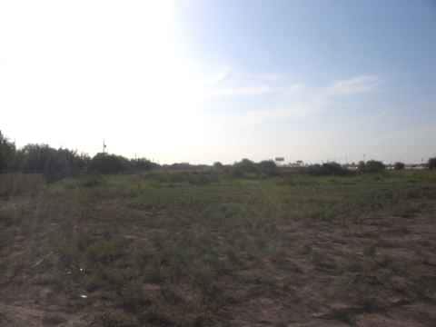
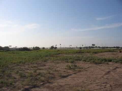
Property Record
140 E Rontage Rd, Alamo, TX 78516

Property Detail
140 E Rontage Rd
McAllen/Edinburg/Pharr
ALAMO LAND & SUGAR CO S348.84-E260.60-W738.21 LOT 2 & N292.46-E260.60-W738.21 LOT 7 BLK 38 3.87AC GR 3.75AC NET
McAllen-Edinburg-Mission, TX
HIDALGO
A1800-00-038-0002-18
Texas
Privatepreserveopenspacevacantlandforestlandconservation
2,7
2024
3.75 AC
2025
Outlying Hidalgo County
021903
NEARBY LISTINGS FOR SALE OR LEASE
DEMOGRAPHICS near 140 E Rontage Rd
1 mile
3 mile
5 mile
2025 Total Population
4,716
68,367
153,076
2030 Population
5,000
73,319
161,993
Pop Growth 2025-2030
+ 6.02%
+ 7.24%
+ 5.83%
Average Age
40
36
35
2025 Total Households
1,520
20,388
43,806
HH Growth 2025-2030
+ 5.79%
+ 7.92%
+ 6.38%
Median Household Inc
$68,623
$47,374
$49,487
Avg Household Size
3.10
3.30
3.40
2025 Avg HH Vehicles
2.00
2.00
2.00
Median Home Value
$170,672
$110,259
$113,027
Median Year Built
1995
1999
1999
Nearby Places
Map Layers
Map Styles
 Street
 Aerial
Layers
 Traffic
 Biking
Places
Listings with unknown addresses are not visible on the map
- Restaurants
- Banks
- Shops
- Fitness
- Groceries
PUBLIC TRANSPORTATION
AIRPORT
McAllen International
Drive
Walk
Distance
McAllen International
15 min
10.4 mi
Valley International
Drive
Walk
Distance
Valley International
42 min
32.9 mi
Freight Ports
Port of Brownsville
Drive
Walk
Distance
Port of Brownsville
59 min
52.2 mi
SALE & LEASE HISTORY
LISTING DATE
SALE/LEASE

Apr 01, 2017
For Sale
Nearby Properties
Address
Land Use
TOTAL SIZE
Lot Size
Zoning
Address
Land Use
TOTAL SIZE
Lot Size
Zoning
1 SF
19.70 AC
Address
Land Use
TOTAL SIZE
Lot Size
Zoning
226,190 SF
18.38 AC
CO
Address
Land Use
TOTAL SIZE
Lot Size
Zoning
3 SF
37.26 AC
Address
Land Use
TOTAL SIZE
Lot Size
Zoning
199,072 SF
39.71 AC
Address
Land Use
TOTAL SIZE
Lot Size
Zoning
89,319 SF
29 AC
Address
Land Use
TOTAL SIZE
Lot Size
Zoning
38.61 AC
Address
Land Use
TOTAL SIZE
Lot Size
Zoning
94,403 SF
20.62 AC
Address
Land Use
TOTAL SIZE
Lot Size
Zoning
125,297 SF
21.80 AC
Address
Land Use
TOTAL SIZE
Lot Size
Zoning
1 SF
30 AC
CO
Address
Land Use
TOTAL SIZE
Lot Size
Zoning
101,338 SF
21.50 AC
Address
Land Use
TOTAL SIZE
Lot Size
Zoning
114,263 SF
19.94 AC
Address
Land Use
TOTAL SIZE
Lot Size
Zoning
Address
Land Use
TOTAL SIZE
Lot Size
Zoning
154,704 SF
25.81 AC
Address
Land Use
TOTAL SIZE
Lot Size
Zoning
74,640 SF
13.42 AC
Address
Land Use
TOTAL SIZE
Lot Size
Zoning
40,000 SF
2.70 AC
Address
Land Use
TOTAL SIZE
Lot Size
Zoning
1 SF
9.78 AC
Address
Land Use
TOTAL SIZE
Lot Size
Zoning
1 SF
26.10 AC
Address
Land Use
TOTAL SIZE
Lot Size
Zoning
66,840 SF
3.43 AC
Address
Land Use
TOTAL SIZE
Lot Size
Zoning
16,434 SF
13.78 AC
Address
Land Use
TOTAL SIZE
Lot Size
Zoning
46,796 SF
24 AC
Address
Land Use
TOTAL SIZE
Lot Size
Zoning
38,920 SF
11.10 AC
Address
Land Use
TOTAL SIZE
Lot Size
Zoning
1 SF
20.69 AC
Address
Land Use
TOTAL SIZE
Lot Size
Zoning
49,577 SF
3.10 AC
Address
Land Use
TOTAL SIZE
Lot Size
Zoning
35.14 AC
CO
Address
Land Use
TOTAL SIZE
Lot Size
Zoning
79,020 SF
15.48 AC
Address
Land Use
TOTAL SIZE
Lot Size
Zoning
69,590 SF
6.48 AC
CO
Address
Land Use
TOTAL SIZE
Lot Size
Zoning
25,146 SF
29.09 AC
RMH
Address
Land Use
TOTAL SIZE
Lot Size
Zoning
54,608 SF
6.16 AC
Address
Land Use
TOTAL SIZE
Lot Size
Zoning
26,048 SF
55.68 AC
M3
Address
Land Use
TOTAL SIZE
Lot Size
Zoning
68,076 SF
6 AC
RM
The World's #1 Commercial Real Estate Marketplace
Connect with us
© 2026 CoStar Group
The information above has been obtained from sources believed reliable. While we do not doubt its accuracy we have not verified it and make no guarantee, warranty or representation about it. It is your responsibility to independently confirm its accuracy and completeness. Any projections, opinions, assumptions, or estimates used are for example only and do not represent the current or future performance of the property. The value of this transaction to you depends on tax and other factors which should be evaluated by your tax, financial, and legal advisors. You and your advisors should conduct a careful, independent investigation of the property to determine to your satisfaction the suitability of the property for your needs.