Property Record
1400 Baptist Rd, Yorktown, VA 23690

NEARBY LISTINGS FOR SALE OR LEASE
-
-
View all Yorktown listings for sale on LoopNet.com
Property Detail
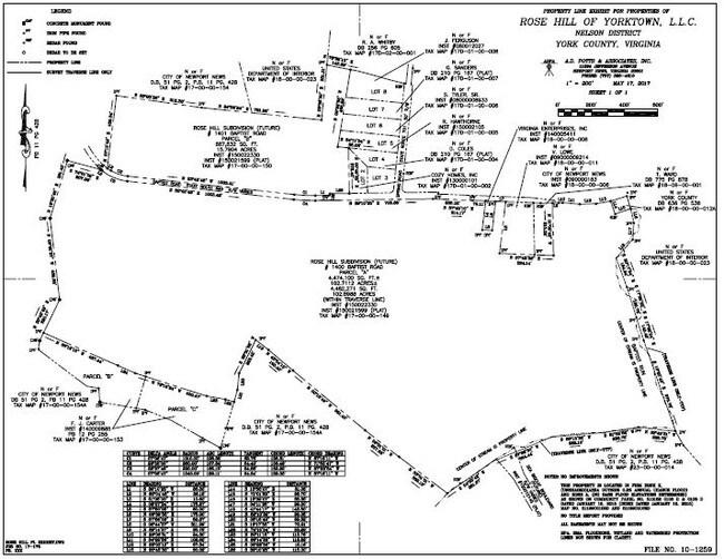
1400 Baptist Rd
Virginia Beach-Norfolk-Newport News, VA-NC
Rose Hill
N10A-1974-4258
ROSE HILL FUTURE DEVELOPMENT PARCEL A
Residentialacreage
York
A
Virginia
51199C0106D
80.22 AC
2024
York
2025
Hampton Roads
050500
DEMOGRAPHICS near 1400 Baptist Rd
1 Mile
3 Mile
5 Mile
2024 Total Population
1,571
8,257
51,890
2029 Population
1,648
8,524
52,543
Pop Growth 2024-2029
+ 4.90%
+ 3.23%
+ 1.26%
Average Age
36
35
37
2024 Total Households
529
3,038
19,511
HH Growth 2024-2029
+ 4.73%
+ 2.96%
+ 1.14%
Median Household Inc
$114,124
$81,603
$67,618
Avg Household Size
2.90
2.50
2.50
2024 Avg HH Vehicles
2.00
2.00
2.00
Median Home Value
$352,966
$328,013
$254,993
Median Year Built
2003
1988
1986
Nearby Places
Map Layers
Map Styles
 Street
 Aerial
- Restaurants
- Banks
- Shops
- Fitness
- Groceries
PUBLIC TRANSPORTATION
AIRPORT
Newport News/Williamsburg International
DRIVE
WALK
Distance
Newport News/Williamsburg International
23 min
11.8 mi
Norfolk International
DRIVE
WALK
Distance
Norfolk International
55 min
37.6 mi
Freight Ports
Virginia Port Authority - Newport News
DRIVE
WALK
Distance
Virginia Port Authority - Newport News
36 min
25.5 mi
SALE & LEASE HISTORY
LISTING DATE
SALE/LEASE

Jun 04, 2018
For Sale
Nearby Properties
Address
Land Use
TOTAL SIZE
Lot Size
Zoning
Address
Land Use
TOTAL SIZE
Lot Size
Zoning
7,825 SF
0.03 AC
P1
Address
Land Use
TOTAL SIZE
Lot Size
Zoning
63.87 AC
R8
Address
Land Use
TOTAL SIZE
Lot Size
Zoning
285 AC
R9
Address
Land Use
TOTAL SIZE
Lot Size
Zoning
372,600 SF
34.54 AC
M2 GENERAL
Address
Land Use
TOTAL SIZE
Lot Size
Zoning
15.60 AC
R7
Address
Land Use
TOTAL SIZE
Lot Size
Zoning
1,669.43 AC
RESOURCE C
Address
Land Use
TOTAL SIZE
Lot Size
Zoning
152,753 SF
32.68 AC
RESOURCE C
Address
Land Use
TOTAL SIZE
Lot Size
Zoning
81,600 SF
21 AC
RESOURCE C
Address
Land Use
TOTAL SIZE
Lot Size
Zoning
275,512 SF
30.03 AC
M1
Address
Land Use
TOTAL SIZE
Lot Size
Zoning
133,173 SF
27.21 AC
RESOURCE C
Address
Land Use
TOTAL SIZE
Lot Size
Zoning
143.61 AC
R9
Address
Land Use
TOTAL SIZE
Lot Size
Zoning
5.76 AC
R7
Address
Land Use
TOTAL SIZE
Lot Size
Zoning
42,704 SF
30.30 AC
R5
Address
Land Use
TOTAL SIZE
Lot Size
Zoning
46,690 SF
3.50 AC
YORKTOWN V
Address
Land Use
TOTAL SIZE
Lot Size
Zoning
328,535 SF
51.05 AC
M2 GENERAL
Address
Land Use
TOTAL SIZE
Lot Size
Zoning
19,301 SF
5.27 AC
YORKTOWN V
Address
Land Use
TOTAL SIZE
Lot Size
Zoning
1,634 SF
96.90 AC
P1
Address
Land Use
TOTAL SIZE
Lot Size
Zoning
401.64 AC
P1
Address
Land Use
TOTAL SIZE
Lot Size
Zoning
60,434 SF
21.84 AC
P1
Address
Land Use
TOTAL SIZE
Lot Size
Zoning
66,266 SF
14 AC
RESOURCE C
Address
Land Use
TOTAL SIZE
Lot Size
Zoning
326.15 AC
RESOURCE C
Address
Land Use
TOTAL SIZE
Lot Size
Zoning
6.44 AC
R7
Address
Land Use
TOTAL SIZE
Lot Size
Zoning
93,068 SF
25.93 AC
MULTI-FAMI
Address
Land Use
TOTAL SIZE
Lot Size
Zoning
43,716 SF
0.42 AC
YORKTOWN V
Address
Land Use
TOTAL SIZE
Lot Size
Zoning
52,482 SF
1,389.23 AC
HIGH DENSI
Address
Land Use
TOTAL SIZE
Lot Size
Zoning
4,186 SF
11.74 AC
R20,LB
Address
Land Use
TOTAL SIZE
Lot Size
Zoning
21,752 SF
5.35 AC
YORKTOWN V
Address
Land Use
TOTAL SIZE
Lot Size
Zoning
13.40 AC
R9
Address
Land Use
TOTAL SIZE
Lot Size
Zoning
185.60 AC
RESOURCE C
The World's #1 Commercial Real Estate Marketplace
Connect with us
© 2025 CoStar Group
The information above has been obtained from sources believed reliable. While we do not doubt its accuracy we have not verified it and make no guarantee, warranty or representation about it. It is your responsibility to independently confirm its accuracy and completeness. Any projections, opinions, assumptions, or estimates used are for example only and do not represent the current or future performance of the property. The value of this transaction to you depends on tax and other factors which should be evaluated by your tax, financial, and legal advisors. You and your advisors should conduct a careful, independent investigation of the property to determine to your satisfaction the suitability of the property for your needs.