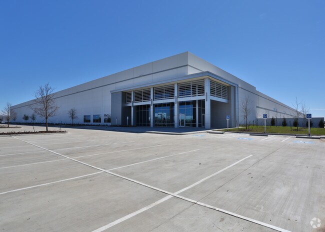
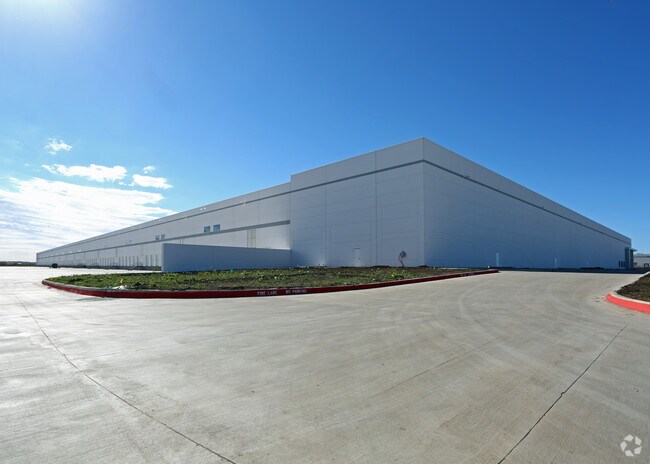
Property Record
1400 Intermodal Pkwy, Haslet, TX 76052

Property Detail
1400 Intermodal Pkwy
Dallas-Fort Worth-Arlington, TX
ALLIANCE WESTPORT ADDN BLOCK 3 LOT 1R CITY BOUNDARY SPLIT
42419521
TARRANT
Commercialnec
Texas
B and X Area of moderate flood hazard, usually the area between the limits of the 100-year and 500-year floods.
1r
2024
46.10 AC
2025
NE Tarrant/Alliance
114113
Dallas/Ft Worth
807,229 SF
NEARBY LISTINGS FOR SALE OR LEASE
DEMOGRAPHICS near 1400 Intermodal Pkwy
1 mile
3 mile
5 mile
2025 Total Population
86
19,245
111,947
2030 Population
93
21,706
122,725
Pop Growth 2025-2030
+ 8.14%
+ 12.79%
+ 9.63%
Average Age
30
35
35
2025 Total Households
24
6,226
36,066
HH Growth 2025-2030
+ 8.33%
+ 13.01%
+ 9.81%
Median Household Inc
$118,749
$142,849
$122,185
Avg Household Size
3.50
3.10
3.10
2025 Avg HH Vehicles
2.00
2.00
2.00
Median Home Value
$331,250
$395,884
$408,354
Median Year Built
2006
2011
2010
Nearby Places
Map Layers
Map Styles
 Street
 Aerial
Layers
 Traffic
 Biking
Places
Listings with unknown addresses are not visible on the map
- Restaurants
- Banks
- Shops
- Fitness
- Groceries
PUBLIC TRANSPORTATION
AIRPORT
Dallas-Fort Worth International
Drive
Walk
Distance
Dallas-Fort Worth International
35 min
25.6 mi
Dallas Love Field
Drive
Walk
Distance
Dallas Love Field
53 min
39.3 mi
Freight Ports
Port of Shreveport
Drive
Walk
Distance
Port of Shreveport
263 min
239.2 mi
SALE & LEASE HISTORY
LISTING DATE
SALE/LEASE

Sep 25, 2016
For Lease
Nearby Properties
Address
Land Use
TOTAL SIZE
Lot Size
Zoning
Address
Land Use
TOTAL SIZE
Lot Size
Zoning
348,270 SF
39.34 AC
Address
Land Use
TOTAL SIZE
Lot Size
Zoning
830,399 SF
11.02 AC
Address
Land Use
TOTAL SIZE
Lot Size
Zoning
564,806 SF
162.94 AC
Address
Land Use
TOTAL SIZE
Lot Size
Zoning
471,408 SF
17.56 AC
Address
Land Use
TOTAL SIZE
Lot Size
Zoning
1,150,000 SF
117.10 AC
Address
Land Use
TOTAL SIZE
Lot Size
Zoning
1,141,133 SF
67.79 AC
Address
Land Use
TOTAL SIZE
Lot Size
Zoning
1,179,900 SF
73.58 AC
Address
Land Use
TOTAL SIZE
Lot Size
Zoning
1,037,400 SF
66.56 AC
Address
Land Use
TOTAL SIZE
Lot Size
Zoning
882,565 SF
56.65 AC
Address
Land Use
TOTAL SIZE
Lot Size
Zoning
1,030,050 SF
95.93 AC
Address
Land Use
TOTAL SIZE
Lot Size
Zoning
1,071,600 SF
74.77 AC
Address
Land Use
TOTAL SIZE
Lot Size
Zoning
1,001,600 SF
58.47 AC
Address
Land Use
TOTAL SIZE
Lot Size
Zoning
294,575 SF
11.21 AC
Address
Land Use
TOTAL SIZE
Lot Size
Zoning
1,075,256 SF
127.44 AC
Address
Land Use
TOTAL SIZE
Lot Size
Zoning
259,825 SF
14.95 AC
Address
Land Use
TOTAL SIZE
Lot Size
Zoning
1,140,525 SF
45.79 AC
Address
Land Use
TOTAL SIZE
Lot Size
Zoning
202.10 AC
Address
Land Use
TOTAL SIZE
Lot Size
Zoning
175,000 SF
14.48 AC
Address
Land Use
TOTAL SIZE
Lot Size
Zoning
804,270 SF
58.79 AC
Address
Land Use
TOTAL SIZE
Lot Size
Zoning
295,161 SF
257.32 AC
Address
Land Use
TOTAL SIZE
Lot Size
Zoning
752,250 SF
37.89 AC
Address
Land Use
TOTAL SIZE
Lot Size
Zoning
279,612 SF
18.46 AC
Address
Land Use
TOTAL SIZE
Lot Size
Zoning
714,000 SF
39.12 AC
Address
Land Use
TOTAL SIZE
Lot Size
Zoning
708,400 SF
85.97 AC
Address
Land Use
TOTAL SIZE
Lot Size
Zoning
672,150 SF
36.62 AC
Address
Land Use
TOTAL SIZE
Lot Size
Zoning
677,700 SF
42.17 AC
Address
Land Use
TOTAL SIZE
Lot Size
Zoning
634,042 SF
35.88 AC
Address
Land Use
TOTAL SIZE
Lot Size
Zoning
546,000 SF
33.60 AC
Address
Land Use
TOTAL SIZE
Lot Size
Zoning
562,500 SF
29.64 AC
The World's #1 Commercial Real Estate Marketplace
Connect with us
© 2026 CoStar Group
The information above has been obtained from sources believed reliable. While we do not doubt its accuracy we have not verified it and make no guarantee, warranty or representation about it. It is your responsibility to independently confirm its accuracy and completeness. Any projections, opinions, assumptions, or estimates used are for example only and do not represent the current or future performance of the property. The value of this transaction to you depends on tax and other factors which should be evaluated by your tax, financial, and legal advisors. You and your advisors should conduct a careful, independent investigation of the property to determine to your satisfaction the suitability of the property for your needs.