Property Record
14002 Fm 1485 Rd, Conroe, TX 77306


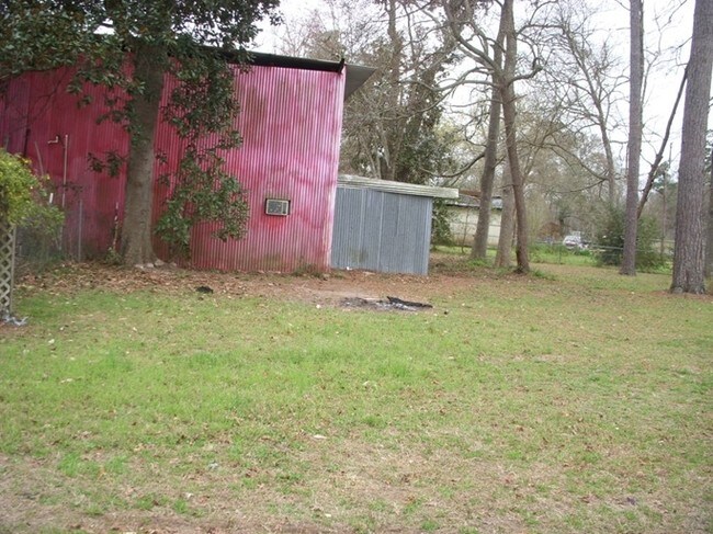
Property Detail
14002 Fm 1485 Rd
9510-03-00900
S951003 - WHITE OAK VALLEY EST 03, BLOCK 8, LOT 2-A
Commercialnec
Montgomery
1
Texas
B and X Area of moderate flood hazard, usually the area between the limits of the 100-year and 500-year floods.
2-a
2024
0.79 AC
2025
The Woodlands/Conroe
692701
Houston
3,760 SF
Houston-Pasadena-The Woodlands, TX
NEARBY LISTINGS FOR SALE OR LEASE
-
-
View all Conroe listings for sale on LoopNet.com
DEMOGRAPHICS near 14002 Fm 1485 Rd
1 mile
3 mile
5 mile
2025 Total Population
2,751
13,225
33,562
2030 Population
3,281
15,829
40,442
Pop Growth 2025-2030
+ 19.27%
+ 19.69%
+ 20.50%
Average Age
37
37
37
2025 Total Households
913
4,298
10,784
HH Growth 2025-2030
+ 19.82%
+ 20.17%
+ 21.06%
Median Household Inc
$70,728
$68,443
$68,677
Avg Household Size
3.00
3.00
3.00
2025 Avg HH Vehicles
2.00
2.00
2.00
Median Home Value
$154,477
$171,391
$198,327
Median Year Built
2004
2004
2007
Nearby Places
Map Layers
Map Styles
 Street
 Aerial
Layers
 Traffic
 Biking
Places
Listings with unknown addresses are not visible on the map
- Restaurants
- Banks
- Shops
- Fitness
- Groceries
PUBLIC TRANSPORTATION
AIRPORT
George Bush Intcntl/Houston
Drive
Walk
Distance
George Bush Intcntl/Houston
37 min
28.2 mi
Freight Ports
Port of Houston
Drive
Walk
Distance
Port of Houston
59 min
43.5 mi
SALE & LEASE HISTORY
LISTING DATE
SALE/LEASE

Sep 24, 2016
For Sale
Nearby Properties
Address
Land Use
TOTAL SIZE
Lot Size
Zoning
Address
Land Use
TOTAL SIZE
Lot Size
Zoning
305,900 SF
60.85 AC
1
Address
Land Use
TOTAL SIZE
Lot Size
Zoning
205,948 SF
23.14 AC
Address
Land Use
TOTAL SIZE
Lot Size
Zoning
126,871 SF
58.54 AC
1
Address
Land Use
TOTAL SIZE
Lot Size
Zoning
149,817 SF
2 AC
1
Address
Land Use
TOTAL SIZE
Lot Size
Zoning
98,000 SF
18 AC
Address
Land Use
TOTAL SIZE
Lot Size
Zoning
61,000 SF
28.31 AC
Address
Land Use
TOTAL SIZE
Lot Size
Zoning
18,308 SF
2.68 AC
1
Address
Land Use
TOTAL SIZE
Lot Size
Zoning
96,946 SF
12 AC
1
Address
Land Use
TOTAL SIZE
Lot Size
Zoning
61,000 SF
16.10 AC
1
Address
Land Use
TOTAL SIZE
Lot Size
Zoning
6,286 SF
21.84 AC
Address
Land Use
TOTAL SIZE
Lot Size
Zoning
26,558 SF
12 AC
1
Address
Land Use
TOTAL SIZE
Lot Size
Zoning
9,020 SF
1.54 AC
Address
Land Use
TOTAL SIZE
Lot Size
Zoning
19,952 SF
2 AC
Address
Land Use
TOTAL SIZE
Lot Size
Zoning
8.87 AC
1
Address
Land Use
TOTAL SIZE
Lot Size
Zoning
9,180 SF
1.38 AC
1
Address
Land Use
TOTAL SIZE
Lot Size
Zoning
15,988 SF
46.22 AC
1
Address
Land Use
TOTAL SIZE
Lot Size
Zoning
12,000 SF
1.38 AC
1
Address
Land Use
TOTAL SIZE
Lot Size
Zoning
9,280 SF
4.57 AC
1
Address
Land Use
TOTAL SIZE
Lot Size
Zoning
12,880 SF
5.86 AC
1
Address
Land Use
TOTAL SIZE
Lot Size
Zoning
8,050 SF
2.84 AC
1
Address
Land Use
TOTAL SIZE
Lot Size
Zoning
14,992 SF
2.27 AC
1
Address
Land Use
TOTAL SIZE
Lot Size
Zoning
6,000 SF
1.25 AC
Address
Land Use
TOTAL SIZE
Lot Size
Zoning
10,560 SF
2 AC
1
Address
Land Use
TOTAL SIZE
Lot Size
Zoning
25,364 SF
6.11 AC
1
Address
Land Use
TOTAL SIZE
Lot Size
Zoning
4,730 SF
2 AC
1
Address
Land Use
TOTAL SIZE
Lot Size
Zoning
9,828 SF
28.07 AC
1
Address
Land Use
TOTAL SIZE
Lot Size
Zoning
22.80 AC
1
Address
Land Use
TOTAL SIZE
Lot Size
Zoning
16,701 SF
3.06 AC
1
Address
Land Use
TOTAL SIZE
Lot Size
Zoning
7,344 SF
1.60 AC
1
Address
Land Use
TOTAL SIZE
Lot Size
Zoning
11,890 SF
11.67 AC
1
The World's #1 Commercial Real Estate Marketplace
Connect with us
© 2026 CoStar Group
The information above has been obtained from sources believed reliable. While we do not doubt its accuracy we have not verified it and make no guarantee, warranty or representation about it. It is your responsibility to independently confirm its accuracy and completeness. Any projections, opinions, assumptions, or estimates used are for example only and do not represent the current or future performance of the property. The value of this transaction to you depends on tax and other factors which should be evaluated by your tax, financial, and legal advisors. You and your advisors should conduct a careful, independent investigation of the property to determine to your satisfaction the suitability of the property for your needs.