Property Record
1403 Brosig St, , WI


Property Detail
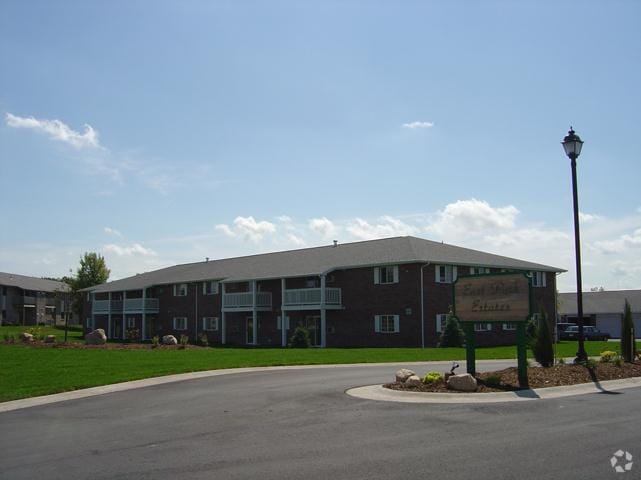
1403 Brosig St
Green Bay
869,611 SQ FT LOT 1 OF 48 CSM 174 MAP 7134 IN 2136838 BNG PRT OF SW1/4 SW1/4 SEC 9 & BNG PRT OF NW1/4 NW1/4 SEC 16 ALL IN T23N R21E
Green Bay, WI
BROWN
21-134
Wisconsin
Commercialnec
1
2025
19.96 AC
2025
Wilder Park
0020021016
NEARBY LISTINGS FOR SALE OR LEASE
-
-
View all listings for sale on LoopNet.com
DEMOGRAPHICS near 1403 Brosig St
1 mile
3 mile
5 mile
2025 Total Population
8,394
63,817
121,368
2030 Population
8,442
64,555
123,614
Pop Growth 2025-2030
+ 0.57%
+ 1.16%
+ 1.85%
Average Age
39
39
39
2025 Total Households
3,416
26,386
49,345
HH Growth 2025-2030
+ 0.56%
+ 1.19%
+ 1.96%
Median Household Inc
$63,891
$68,788
$71,028
Avg Household Size
2.40
2.30
2.30
2025 Avg HH Vehicles
2.00
2.00
2.00
Median Home Value
$258,922
$225,785
$240,355
Median Year Built
1984
1979
1976
Nearby Places
Map Layers
Map Styles
 Street
 Aerial
Transit
 Traffic
 Biking
Places
Listings with unknown addresses are not visible on the map
- Restaurants
- Banks
- Shops
- Fitness
- Groceries
PUBLIC TRANSPORTATION
AIRPORT
Green Bay/Austin Straubel International
Drive
Walk
Distance
Green Bay/Austin Straubel International
21 min
11.4 mi
Freight Ports
Port Milwaukee
Drive
Walk
Distance
Port Milwaukee
131 min
114.2 mi
Nearby Properties
Address
Land Use
TOTAL SIZE
Lot Size
Zoning
Address
Land Use
TOTAL SIZE
Lot Size
Zoning
67.93 AC
Address
Land Use
TOTAL SIZE
Lot Size
Zoning
17,534 SF
70.63 AC
OR, R1
Address
Land Use
TOTAL SIZE
Lot Size
Zoning
Address
Land Use
TOTAL SIZE
Lot Size
Zoning
5.90 AC
Address
Land Use
TOTAL SIZE
Lot Size
Zoning
31.38 AC
Address
Land Use
TOTAL SIZE
Lot Size
Zoning
982 SF
34.29 AC
R1
Address
Land Use
TOTAL SIZE
Lot Size
Zoning
10.97 AC
Address
Land Use
TOTAL SIZE
Lot Size
Zoning
1,632 SF
30.52 AC
R1
Address
Land Use
TOTAL SIZE
Lot Size
Zoning
15.51 AC
Address
Land Use
TOTAL SIZE
Lot Size
Zoning
19.25 AC
Address
Land Use
TOTAL SIZE
Lot Size
Zoning
19.22 AC
Address
Land Use
TOTAL SIZE
Lot Size
Zoning
8.90 AC
Address
Land Use
TOTAL SIZE
Lot Size
Zoning
19.28 AC
Address
Land Use
TOTAL SIZE
Lot Size
Zoning
9.15 AC
Address
Land Use
TOTAL SIZE
Lot Size
Zoning
18.13 AC
Address
Land Use
TOTAL SIZE
Lot Size
Zoning
9.51 AC
Address
Land Use
TOTAL SIZE
Lot Size
Zoning
14.75 AC
Address
Land Use
TOTAL SIZE
Lot Size
Zoning
13.30 AC
Address
Land Use
TOTAL SIZE
Lot Size
Zoning
20.64 AC
Address
Land Use
TOTAL SIZE
Lot Size
Zoning
23.44 AC
Address
Land Use
TOTAL SIZE
Lot Size
Zoning
9.64 AC
Address
Land Use
TOTAL SIZE
Lot Size
Zoning
28.23 AC
Address
Land Use
TOTAL SIZE
Lot Size
Zoning
13.76 AC
Address
Land Use
TOTAL SIZE
Lot Size
Zoning
15.67 AC
Address
Land Use
TOTAL SIZE
Lot Size
Zoning
10.79 AC
Address
Land Use
TOTAL SIZE
Lot Size
Zoning
7.44 AC
Address
Land Use
TOTAL SIZE
Lot Size
Zoning
29.42 AC
Address
Land Use
TOTAL SIZE
Lot Size
Zoning
24.86 AC
Address
Land Use
TOTAL SIZE
Lot Size
Zoning
25.53 AC
Address
Land Use
TOTAL SIZE
Lot Size
Zoning
2.07 AC
The World's #1 Commercial Real Estate Marketplace
Connect with us
© 2026 CoStar Group
The information above has been obtained from sources believed reliable. While we do not doubt its accuracy we have not verified it and make no guarantee, warranty or representation about it. It is your responsibility to independently confirm its accuracy and completeness. Any projections, opinions, assumptions, or estimates used are for example only and do not represent the current or future performance of the property. The value of this transaction to you depends on tax and other factors which should be evaluated by your tax, financial, and legal advisors. You and your advisors should conduct a careful, independent investigation of the property to determine to your satisfaction the suitability of the property for your needs.