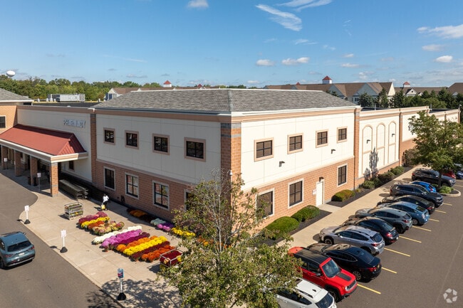
Property Record
1405 Main St, Warrington, PA 18976


Property Detail
1405 Main St
50-031-034-003
14.027AC PARCEL F VALLEY SQUARE
Supermarket
Bucks
OBD
Pennsylvania
B and X Area of moderate flood hazard, usually the area between the limits of the 100-year and 500-year floods.
14.03 AC
2025
Lower Bucks County
2026
Philadelphia
101808
Philadelphia-Camden-Wilmington, PA-NJ-DE-MD
125,391 SF
NEARBY LISTINGS FOR SALE OR LEASE
DEMOGRAPHICS near 1405 Main St
1 mile
3 mile
5 mile
2025 Total Population
11,286
58,618
155,235
2030 Population
11,525
59,326
157,390
Pop Growth 2025-2030
+ 2.12%
+ 1.21%
+ 1.39%
Average Age
42
44
43
2025 Total Households
4,370
21,296
58,601
HH Growth 2025-2030
+ 2.11%
+ 1.14%
+ 1.43%
Median Household Inc
$99,680
$119,559
$114,223
Avg Household Size
2.50
2.70
2.60
2025 Avg HH Vehicles
2.00
2.00
2.00
Median Home Value
$452,412
$475,707
$486,872
Median Year Built
1976
1980
1980
Nearby Places
Map Layers
Map Styles
 Street
 Aerial
Layers
 Traffic
 Biking
Places
Listings with unknown addresses are not visible on the map
- Restaurants
- Banks
- Shops
- Fitness
- Groceries
PUBLIC TRANSPORTATION
COMMUTER RAIL
Warminster (R2 - Southeastern Pennsylvania Transportation Authority Regional Rail (SEPTA Regional Rail))
Drive
Walk
Distance
Warminster (R2 - Southeastern Pennsylvania Transportation Authority Regional Rail (SEPTA Regional Rail))
8 min
3.9 mi
Hatboro (R2 - Southeastern Pennsylvania Transportation Authority Regional Rail (SEPTA Regional Rail))
Drive
Walk
Distance
Hatboro (R2 - Southeastern Pennsylvania Transportation Authority Regional Rail (SEPTA Regional Rail))
11 min
5.2 mi
AIRPORT
Trenton Mercer
Drive
Walk
Distance
Trenton Mercer
42 min
23.5 mi
Lehigh Valley International
Drive
Walk
Distance
Lehigh Valley International
67 min
39.6 mi
Philadelphia International
Drive
Walk
Distance
Philadelphia International
60 min
41.0 mi
Freight Ports
Port of Philadelphia
Drive
Walk
Distance
Port of Philadelphia
40 min
21.7 mi
Nearby Properties
Address
Land Use
TOTAL SIZE
Lot Size
Zoning
Address
Land Use
TOTAL SIZE
Lot Size
Zoning
1,006.32 AC
I1
Address
Land Use
TOTAL SIZE
Lot Size
Zoning
368,492 SF
58.98 AC
I1
Address
Land Use
TOTAL SIZE
Lot Size
Zoning
283,836 SF
16.64 AC
PI
Address
Land Use
TOTAL SIZE
Lot Size
Zoning
368,495 SF
68.37 AC
PI
Address
Land Use
TOTAL SIZE
Lot Size
Zoning
170,183 SF
46.63 AC
I1
Address
Land Use
TOTAL SIZE
Lot Size
Zoning
94,059 SF
19.22 AC
R4
Address
Land Use
TOTAL SIZE
Lot Size
Zoning
88,000 SF
14.40 AC
PI
Address
Land Use
TOTAL SIZE
Lot Size
Zoning
89,667 SF
18.75 AC
I1
Address
Land Use
TOTAL SIZE
Lot Size
Zoning
213,350 SF
11.78 AC
R7
Address
Land Use
TOTAL SIZE
Lot Size
Zoning
112,772 SF
10.39 AC
I2
Address
Land Use
TOTAL SIZE
Lot Size
Zoning
108,242 SF
15.42 AC
PI
Address
Land Use
TOTAL SIZE
Lot Size
Zoning
72,934 SF
8.51 AC
C2
Address
Land Use
TOTAL SIZE
Lot Size
Zoning
121,760 SF
13.11 AC
I2
Address
Land Use
TOTAL SIZE
Lot Size
Zoning
23,644 SF
94.71 AC
R2
Address
Land Use
TOTAL SIZE
Lot Size
Zoning
106,902 SF
5.68 AC
R3
Address
Land Use
TOTAL SIZE
Lot Size
Zoning
256,810 SF
36.13 AC
C
Address
Land Use
TOTAL SIZE
Lot Size
Zoning
31,861 SF
39.66 AC
R2
Address
Land Use
TOTAL SIZE
Lot Size
Zoning
34,588 SF
4 AC
C2
Address
Land Use
TOTAL SIZE
Lot Size
Zoning
63,314 SF
14.12 AC
I1
Address
Land Use
TOTAL SIZE
Lot Size
Zoning
261,949 SF
25.38 AC
C2
Address
Land Use
TOTAL SIZE
Lot Size
Zoning
89,732 SF
12.31 AC
I1
Address
Land Use
TOTAL SIZE
Lot Size
Zoning
322,194 SF
37.79 AC
Address
Land Use
TOTAL SIZE
Lot Size
Zoning
65,768 SF
6.04 AC
I2
Address
Land Use
TOTAL SIZE
Lot Size
Zoning
80,086 SF
11.63 AC
I1
Address
Land Use
TOTAL SIZE
Lot Size
Zoning
56,034 SF
6.71 AC
I1
Address
Land Use
TOTAL SIZE
Lot Size
Zoning
46,560 SF
4.11 AC
I3
Address
Land Use
TOTAL SIZE
Lot Size
Zoning
72,852 SF
21.24 AC
R2
Address
Land Use
TOTAL SIZE
Lot Size
Zoning
59,133 SF
6.67 AC
LC3
Address
Land Use
TOTAL SIZE
Lot Size
Zoning
60,000 SF
7.17 AC
I3
Address
Land Use
TOTAL SIZE
Lot Size
Zoning
116,399 SF
6.48 AC
GC2
The World's #1 Commercial Real Estate Marketplace
Connect with us
© 2026 CoStar Group
The information above has been obtained from sources believed reliable. While we do not doubt its accuracy we have not verified it and make no guarantee, warranty or representation about it. It is your responsibility to independently confirm its accuracy and completeness. Any projections, opinions, assumptions, or estimates used are for example only and do not represent the current or future performance of the property. The value of this transaction to you depends on tax and other factors which should be evaluated by your tax, financial, and legal advisors. You and your advisors should conduct a careful, independent investigation of the property to determine to your satisfaction the suitability of the property for your needs.