Property Record
14054 Hwy105 E, Plantersville, TX 77363
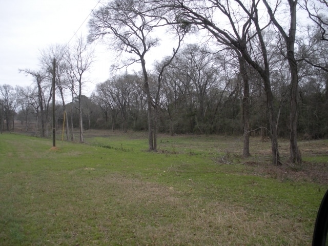

Property Detail
14054 Hwy105 E
Other Market Areas
S4470 - GATOR CROSSING, LOT 3-A, ACRES 1.96, (RE-PLAT 1702/543)
R72708
GRIMES
Commercialnec
Texas
B and X Area of moderate flood hazard, usually the area between the limits of the 100-year and 500-year floods.
3-a
2024
1.96 AC
2025
Central Texas Area
180102
NEARBY LISTINGS FOR SALE OR LEASE
DEMOGRAPHICS near 14054 Hwy105 E
1 mile
3 mile
5 mile
2025 Total Population
147
1,772
4,271
2030 Population
167
2,001
4,823
Pop Growth 2025-2030
+ 13.61%
+ 12.92%
+ 12.92%
Average Age
42
42
42
2025 Total Households
58
694
1,649
HH Growth 2025-2030
+ 13.79%
+ 13.40%
+ 13.46%
Median Household Inc
$63,750
$71,120
$75,531
Avg Household Size
2.60
2.60
2.60
2025 Avg HH Vehicles
2.00
2.00
2.00
Median Home Value
$270,833
$285,356
$297,238
Median Year Built
2004
2003
2002
Nearby Places
Map Layers
Map Styles
 Street
 Aerial
Transit
 Traffic
 Biking
Places
Listings with unknown addresses are not visible on the map
- Restaurants
- Banks
- Shops
- Fitness
- Groceries
PUBLIC TRANSPORTATION
AIRPORT
Easterwood Field
Drive
Walk
Distance
Easterwood Field
54 min
39.4 mi
SALE & LEASE HISTORY
LISTING DATE
SALE/LEASE

Sep 24, 2016
For Sale
Nearby Properties
Address
Land Use
TOTAL SIZE
Lot Size
Zoning
Address
Land Use
TOTAL SIZE
Lot Size
Zoning
67,113 SF
8.17 AC
4
Address
Land Use
TOTAL SIZE
Lot Size
Zoning
Address
Land Use
TOTAL SIZE
Lot Size
Zoning
14.44 AC
2
Address
Land Use
TOTAL SIZE
Lot Size
Zoning
6,756 SF
130.69 AC
2
Address
Land Use
TOTAL SIZE
Lot Size
Zoning
20,367 SF
41.59 AC
4
Address
Land Use
TOTAL SIZE
Lot Size
Zoning
5,003 SF
28.13 AC
4
Address
Land Use
TOTAL SIZE
Lot Size
Zoning
14.77 AC
4
Address
Land Use
TOTAL SIZE
Lot Size
Zoning
848 SF
6.21 AC
Address
Land Use
TOTAL SIZE
Lot Size
Zoning
21,540 SF
7.88 AC
4
Address
Land Use
TOTAL SIZE
Lot Size
Zoning
6,673 SF
245.91 AC
4
Address
Land Use
TOTAL SIZE
Lot Size
Zoning
10.57 AC
2
Address
Land Use
TOTAL SIZE
Lot Size
Zoning
59.53 AC
4
Address
Land Use
TOTAL SIZE
Lot Size
Zoning
18,574 SF
15 AC
Address
Land Use
TOTAL SIZE
Lot Size
Zoning
612 SF
37.97 AC
4
Address
Land Use
TOTAL SIZE
Lot Size
Zoning
Address
Land Use
TOTAL SIZE
Lot Size
Zoning
55,220 SF
6.27 AC
2
Address
Land Use
TOTAL SIZE
Lot Size
Zoning
11,834 SF
11.33 AC
Address
Land Use
TOTAL SIZE
Lot Size
Zoning
5,612 SF
13.09 AC
4
Address
Land Use
TOTAL SIZE
Lot Size
Zoning
12,763 SF
6.28 AC
2
Address
Land Use
TOTAL SIZE
Lot Size
Zoning
196 SF
10.52 AC
4
Address
Land Use
TOTAL SIZE
Lot Size
Zoning
3,434 SF
5.92 AC
4
Address
Land Use
TOTAL SIZE
Lot Size
Zoning
6,500 SF
8.99 AC
Address
Land Use
TOTAL SIZE
Lot Size
Zoning
10,754 SF
1.64 AC
4
Address
Land Use
TOTAL SIZE
Lot Size
Zoning
11,411 SF
29 AC
4
Address
Land Use
TOTAL SIZE
Lot Size
Zoning
14,282 SF
30.60 AC
4
Address
Land Use
TOTAL SIZE
Lot Size
Zoning
9,379 SF
9 AC
4
Address
Land Use
TOTAL SIZE
Lot Size
Zoning
29,197 SF
25.06 AC
4
Address
Land Use
TOTAL SIZE
Lot Size
Zoning
20 AC
4
Address
Land Use
TOTAL SIZE
Lot Size
Zoning
16,906 SF
13 AC
The World's #1 Commercial Real Estate Marketplace
Connect with us
© 2026 CoStar Group
The information above has been obtained from sources believed reliable. While we do not doubt its accuracy we have not verified it and make no guarantee, warranty or representation about it. It is your responsibility to independently confirm its accuracy and completeness. Any projections, opinions, assumptions, or estimates used are for example only and do not represent the current or future performance of the property. The value of this transaction to you depends on tax and other factors which should be evaluated by your tax, financial, and legal advisors. You and your advisors should conduct a careful, independent investigation of the property to determine to your satisfaction the suitability of the property for your needs.