Property Record
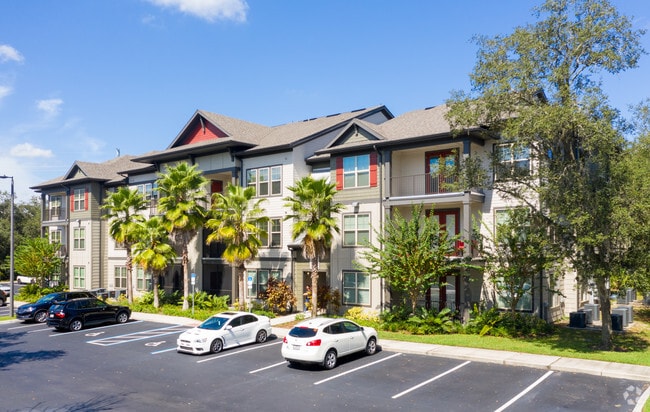
14059 Riveredge Dr, Tampa, FL 33637


Property Detail
14059 Riveredge Dr
A-01-28-19-5I2-000000-00005.0
HIDDEN RIVER CORPORATE PARK PH 4 LOTS 4, 5 AND 6
Multifamilydwelling
Hillsborough
PD-A
Florida
B and X Area of moderate flood hazard, usually the area between the limits of the 100-year and 500-year floods.
5
2024
16.15 AC
2025
New Tampa
011017
Tampa/St Petersburg
306,031 SF
Tampa-St. Petersburg-Clearwater, FL
NEARBY LISTINGS FOR SALE OR LEASE
-
-
View all Tampa listings for sale on LoopNet.com
DEMOGRAPHICS near 14059 Riveredge Dr
1 mile
3 mile
5 mile
2025 Total Population
2,021
39,484
158,214
2030 Population
2,198
42,177
169,078
Pop Growth 2025-2030
+ 8.76%
+ 6.82%
+ 6.87%
Average Age
35
37
36
2025 Total Households
964
16,293
61,285
HH Growth 2025-2030
+ 9.02%
+ 6.98%
+ 7.15%
Median Household Inc
$95,454
$74,904
$61,578
Avg Household Size
2.10
2.40
2.30
2025 Avg HH Vehicles
2.00
2.00
2.00
Median Home Value
$355,263
$425,034
$389,160
Median Year Built
2010
1989
1990
Nearby Places
Map Layers
Map Styles
 Street
 Aerial
Layers
 Traffic
 Biking
Places
Listings with unknown addresses are not visible on the map
- Restaurants
- Banks
- Shops
- Fitness
- Groceries
PUBLIC TRANSPORTATION
AIRPORT
Tampa International
Drive
Walk
Distance
Tampa International
34 min
23.0 mi
St Pete-Clearwater International
Drive
Walk
Distance
St Pete-Clearwater International
51 min
32.2 mi
Freight Ports
Port of Tampa Bay
Drive
Walk
Distance
Port of Tampa Bay
27 min
16.4 mi
Nearby Properties
Address
Land Use
TOTAL SIZE
Lot Size
Zoning
Address
Land Use
TOTAL SIZE
Lot Size
Zoning
727,236 SF
61.10 AC
CU
Address
Land Use
TOTAL SIZE
Lot Size
Zoning
702,607 SF
63.42 AC
PROF
Address
Land Use
TOTAL SIZE
Lot Size
Zoning
594,270 SF
23.02 AC
PD
Address
Land Use
TOTAL SIZE
Lot Size
Zoning
319,292 SF
31.71 AC
PD
Address
Land Use
TOTAL SIZE
Lot Size
Zoning
344,877 SF
47.21 AC
PD
Address
Land Use
TOTAL SIZE
Lot Size
Zoning
287,530 SF
9.09 AC
PD
Address
Land Use
TOTAL SIZE
Lot Size
Zoning
706,512 SF
76.54 AC
PD
Address
Land Use
TOTAL SIZE
Lot Size
Zoning
285,330 SF
34.74 AC
RDC-12
Address
Land Use
TOTAL SIZE
Lot Size
Zoning
207,965 SF
20.94 AC
PD-A
Address
Land Use
TOTAL SIZE
Lot Size
Zoning
485,347 SF
25.89 AC
PD-A
Address
Land Use
TOTAL SIZE
Lot Size
Zoning
280,650 SF
11.92 AC
UMU-20
Address
Land Use
TOTAL SIZE
Lot Size
Zoning
163,045 SF
32.18 AC
PD
Address
Land Use
TOTAL SIZE
Lot Size
Zoning
127,528 SF
11.45 AC
PD-A
Address
Land Use
TOTAL SIZE
Lot Size
Zoning
517,244 SF
245.21 AC
PD-A
Address
Land Use
TOTAL SIZE
Lot Size
Zoning
210,916 SF
16.22 AC
PROF
Address
Land Use
TOTAL SIZE
Lot Size
Zoning
170,172 SF
18.08 AC
PROF
Address
Land Use
TOTAL SIZE
Lot Size
Zoning
295,566 SF
62.62 AC
PD-A
Address
Land Use
TOTAL SIZE
Lot Size
Zoning
228,193 SF
18.87 AC
RMFA
Address
Land Use
TOTAL SIZE
Lot Size
Zoning
155,842 SF
13.83 AC
CU
Address
Land Use
TOTAL SIZE
Lot Size
Zoning
217,070 SF
20.83 AC
RMFA
Address
Land Use
TOTAL SIZE
Lot Size
Zoning
279,841 SF
24.62 AC
RMF
Address
Land Use
TOTAL SIZE
Lot Size
Zoning
156,816 SF
8.32 AC
PD-A
Address
Land Use
TOTAL SIZE
Lot Size
Zoning
117,961 SF
8.32 AC
RMC-20
Address
Land Use
TOTAL SIZE
Lot Size
Zoning
133,644 SF
8.85 AC
PD-A
Address
Land Use
TOTAL SIZE
Lot Size
Zoning
74,897 SF
10.02 AC
PROF
Address
Land Use
TOTAL SIZE
Lot Size
Zoning
172,220 SF
16.66 AC
PROF
Address
Land Use
TOTAL SIZE
Lot Size
Zoning
133,692 SF
9.52 AC
PD-A
Address
Land Use
TOTAL SIZE
Lot Size
Zoning
117,354 SF
24.82 AC
PD
Address
Land Use
TOTAL SIZE
Lot Size
Zoning
151,287 SF
9.02 AC
PROF
The World's #1 Commercial Real Estate Marketplace
Connect with us
© 2026 CoStar Group
The information above has been obtained from sources believed reliable. While we do not doubt its accuracy we have not verified it and make no guarantee, warranty or representation about it. It is your responsibility to independently confirm its accuracy and completeness. Any projections, opinions, assumptions, or estimates used are for example only and do not represent the current or future performance of the property. The value of this transaction to you depends on tax and other factors which should be evaluated by your tax, financial, and legal advisors. You and your advisors should conduct a careful, independent investigation of the property to determine to your satisfaction the suitability of the property for your needs.