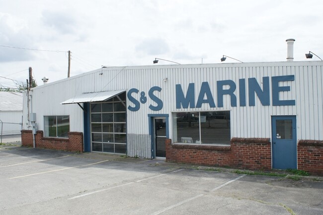
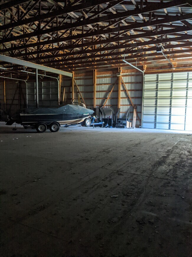
Property Record
1407 Emery Xing, Clarksville, IN 47129
NEARBY LISTINGS FOR SALE OR LEASE
Property Detail
1407 Emery Xing
10-40-02-900-059.000-007
GT 29 1.414 AC
Commercialacreage
Clark
X
Indiana
21111C0012F
0.60 AC
2024
South Clark County
2024
Louisville
050505
Louisville-Jefferson County, KY-IN
DEMOGRAPHICS near 1407 Emery Xing
1 Mile
3 Mile
5 Mile
2024 Total Population
6,912
73,060
186,870
2029 Population
7,117
75,497
192,635
Pop Growth 2024-2029
+ 2.97%
+ 3.34%
+ 3.09%
Average Age
40
40
40
2024 Total Households
2,970
31,051
80,284
HH Growth 2024-2029
+ 2.73%
+ 3.42%
+ 3.17%
Median Household Inc
$56,382
$44,057
$43,049
Avg Household Size
2.30
2.20
2.20
2024 Avg HH Vehicles
2.00
2.00
1.00
Median Home Value
$144,353
$135,443
$148,007
Median Year Built
1950
1960
1963
Nearby Places
Map Layers
Map Styles
 Street
 Aerial
- Restaurants
- Banks
- Shops
- Fitness
- Groceries
PUBLIC TRANSPORTATION
AIRPORT
Louisville Muhammad Ali International
DRIVE
WALK
Distance
Louisville Muhammad Ali International
22 min
12.2 mi
Freight Ports
Port of Toledo
DRIVE
WALK
Distance
Port of Toledo
358 min
308.1 mi
Nearby Properties
Address
Land Use
TOTAL SIZE
Lot Size
Zoning
Address
Land Use
TOTAL SIZE
Lot Size
Zoning
2.07 AC
Address
Land Use
TOTAL SIZE
Lot Size
Zoning
3,452 SF
13.22 AC
Address
Land Use
TOTAL SIZE
Lot Size
Zoning
109,470 SF
2.27 AC
Address
Land Use
TOTAL SIZE
Lot Size
Zoning
120,337 SF
18.20 AC
Address
Land Use
TOTAL SIZE
Lot Size
Zoning
16,221 SF
2.40 AC
Address
Land Use
TOTAL SIZE
Lot Size
Zoning
175,626 SF
60.10 AC
Address
Land Use
TOTAL SIZE
Lot Size
Zoning
303,047 SF
7.21 AC
Address
Land Use
TOTAL SIZE
Lot Size
Zoning
2,208 SF
26.20 AC
Address
Land Use
TOTAL SIZE
Lot Size
Zoning
2,000 SF
13.11 AC
Address
Land Use
TOTAL SIZE
Lot Size
Zoning
136,949 SF
36.89 AC
Address
Land Use
TOTAL SIZE
Lot Size
Zoning
128,269 SF
10.18 AC
Address
Land Use
TOTAL SIZE
Lot Size
Zoning
12,270 SF
13.50 AC
Address
Land Use
TOTAL SIZE
Lot Size
Zoning
25,728 SF
10.37 AC
Address
Land Use
TOTAL SIZE
Lot Size
Zoning
56,775 SF
5.30 AC
Address
Land Use
TOTAL SIZE
Lot Size
Zoning
12,752 SF
13.56 AC
Address
Land Use
TOTAL SIZE
Lot Size
Zoning
1,276 SF
3.78 AC
Address
Land Use
TOTAL SIZE
Lot Size
Zoning
75,560 SF
8.18 AC
Address
Land Use
TOTAL SIZE
Lot Size
Zoning
9,900 SF
11.23 AC
Address
Land Use
TOTAL SIZE
Lot Size
Zoning
3,692 SF
15.99 AC
Address
Land Use
TOTAL SIZE
Lot Size
Zoning
76,929 SF
10.03 AC
Address
Land Use
TOTAL SIZE
Lot Size
Zoning
204,428 SF
9.82 AC
Address
Land Use
TOTAL SIZE
Lot Size
Zoning
143,700 SF
0.29 AC
Address
Land Use
TOTAL SIZE
Lot Size
Zoning
86,719 SF
7.04 AC
Address
Land Use
TOTAL SIZE
Lot Size
Zoning
135,020 SF
2.02 AC
Address
Land Use
TOTAL SIZE
Lot Size
Zoning
32,850 SF
9.21 AC
Address
Land Use
TOTAL SIZE
Lot Size
Zoning
202,859 SF
22.95 AC
Address
Land Use
TOTAL SIZE
Lot Size
Zoning
43,204 SF
6.95 AC
Address
Land Use
TOTAL SIZE
Lot Size
Zoning
1,920 SF
19.15 AC
Address
Land Use
TOTAL SIZE
Lot Size
Zoning
67,471 SF
7 AC
Address
Land Use
TOTAL SIZE
Lot Size
Zoning
54,822 SF
0.28 AC
The World's #1 Commercial Real Estate Marketplace
Connect with us
© 2025 CoStar Group
The information above has been obtained from sources believed reliable. While we do not doubt its accuracy we have not verified it and make no guarantee, warranty or representation about it. It is your responsibility to independently confirm its accuracy and completeness. Any projections, opinions, assumptions, or estimates used are for example only and do not represent the current or future performance of the property. The value of this transaction to you depends on tax and other factors which should be evaluated by your tax, financial, and legal advisors. You and your advisors should conduct a careful, independent investigation of the property to determine to your satisfaction the suitability of the property for your needs.