Property Record
141 Roberts Cut Off Rd, Fort Worth, TX 76114

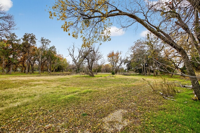
Property Detail
141 Roberts Cut Off Rd
Dallas-Fort Worth-Arlington, TX
CARROLL, NATHAN H SURVEY ABSTRACT 264 TRACT 65C
03802442
Tarrant
Residentialacreage
Texas
AE The base floodplain where base flood elevations are provided. AE Zones are now used on new format FIRMs instead of A1-A30 Zones.
10.48 AC
2025
Northwest Ft Worth
2025
Dallas/Ft Worth
100700
NEARBY LISTINGS FOR SALE OR LEASE
DEMOGRAPHICS near 141 Roberts Cut Off Rd
1 mile
3 mile
5 mile
2025 Total Population
11,542
96,289
266,237
2030 Population
12,350
103,031
283,527
Pop Growth 2025-2030
+ 7.00%
+ 7.00%
+ 6.49%
Average Age
39
38
37
2025 Total Households
4,775
37,936
105,188
HH Growth 2025-2030
+ 7.37%
+ 6.92%
+ 6.77%
Median Household Inc
$74,126
$67,259
$64,887
Avg Household Size
2.40
2.40
2.40
2025 Avg HH Vehicles
2.00
2.00
2.00
Median Home Value
$307,325
$311,549
$305,113
Median Year Built
1963
1968
1980
Nearby Places
Map Layers
Map Styles
 Street
 Aerial
Layers
 Traffic
 Biking
Places
Listings with unknown addresses are not visible on the map
- Restaurants
- Banks
- Shops
- Fitness
- Groceries
PUBLIC TRANSPORTATION
COMMUTER RAIL
Fort Worth (Heartland Flyer - Amtrak, Texas Eagle - Amtrak)
Drive
Walk
Distance
Fort Worth (Heartland Flyer - Amtrak, Texas Eagle - Amtrak)
11 min
5.3 mi
Texas And Pacific (T&P) (Trinity Railway Express - Dallas Area Rapid Transit (DART))
Drive
Walk
Distance
Texas And Pacific (T&P) (Trinity Railway Express - Dallas Area Rapid Transit (DART))
11 min
5.5 mi
AIRPORT
Dallas-Fort Worth International
Drive
Walk
Distance
Dallas-Fort Worth International
41 min
29.0 mi
Freight Ports
Port of Shreveport
Drive
Walk
Distance
Port of Shreveport
258 min
235.7 mi
Nearby Properties
Address
Land Use
TOTAL SIZE
Lot Size
Zoning
Address
Land Use
TOTAL SIZE
Lot Size
Zoning
802,865 SF
17.38 AC
Address
Land Use
TOTAL SIZE
Lot Size
Zoning
616,686 SF
2.82 AC
Address
Land Use
TOTAL SIZE
Lot Size
Zoning
508,378 SF
6.02 AC
Address
Land Use
TOTAL SIZE
Lot Size
Zoning
788,621 SF
6.39 AC
Address
Land Use
TOTAL SIZE
Lot Size
Zoning
765,141 SF
56.28 AC
Address
Land Use
TOTAL SIZE
Lot Size
Zoning
336,310 SF
2.85 AC
Address
Land Use
TOTAL SIZE
Lot Size
Zoning
469,191 SF
4.20 AC
Address
Land Use
TOTAL SIZE
Lot Size
Zoning
462,036 SF
5.40 AC
Address
Land Use
TOTAL SIZE
Lot Size
Zoning
437,641 SF
6.60 AC
Address
Land Use
TOTAL SIZE
Lot Size
Zoning
627,866 SF
6.85 AC
Address
Land Use
TOTAL SIZE
Lot Size
Zoning
411,395 SF
12.24 AC
Address
Land Use
TOTAL SIZE
Lot Size
Zoning
378,038 SF
7.01 AC
Address
Land Use
TOTAL SIZE
Lot Size
Zoning
401,487 SF
6.16 AC
Address
Land Use
TOTAL SIZE
Lot Size
Zoning
595,372 SF
12.24 AC
Address
Land Use
TOTAL SIZE
Lot Size
Zoning
220,000 SF
9.92 AC
Address
Land Use
TOTAL SIZE
Lot Size
Zoning
180,612 SF
Address
Land Use
TOTAL SIZE
Lot Size
Zoning
424,333 SF
12.59 AC
Address
Land Use
TOTAL SIZE
Lot Size
Zoning
183,899 SF
9.23 AC
Address
Land Use
TOTAL SIZE
Lot Size
Zoning
362,698 SF
4.59 AC
Address
Land Use
TOTAL SIZE
Lot Size
Zoning
232,014 SF
2.83 AC
Address
Land Use
TOTAL SIZE
Lot Size
Zoning
155,269 SF
Address
Land Use
TOTAL SIZE
Lot Size
Zoning
174,093 SF
0.14 AC
Address
Land Use
TOTAL SIZE
Lot Size
Zoning
271,065 SF
9.03 AC
Address
Land Use
TOTAL SIZE
Lot Size
Zoning
338,214 SF
12.34 AC
Address
Land Use
TOTAL SIZE
Lot Size
Zoning
152,640 SF
15.91 AC
Address
Land Use
TOTAL SIZE
Lot Size
Zoning
296,522 SF
7.80 AC
Address
Land Use
TOTAL SIZE
Lot Size
Zoning
137,500 SF
10.45 AC
Address
Land Use
TOTAL SIZE
Lot Size
Zoning
215,548 SF
7.79 AC
Address
Land Use
TOTAL SIZE
Lot Size
Zoning
159,930 SF
5.07 AC
Address
Land Use
TOTAL SIZE
Lot Size
Zoning
357,676 SF
9.03 AC
The World's #1 Commercial Real Estate Marketplace
Connect with us
© 2026 CoStar Group
The information above has been obtained from sources believed reliable. While we do not doubt its accuracy we have not verified it and make no guarantee, warranty or representation about it. It is your responsibility to independently confirm its accuracy and completeness. Any projections, opinions, assumptions, or estimates used are for example only and do not represent the current or future performance of the property. The value of this transaction to you depends on tax and other factors which should be evaluated by your tax, financial, and legal advisors. You and your advisors should conduct a careful, independent investigation of the property to determine to your satisfaction the suitability of the property for your needs.