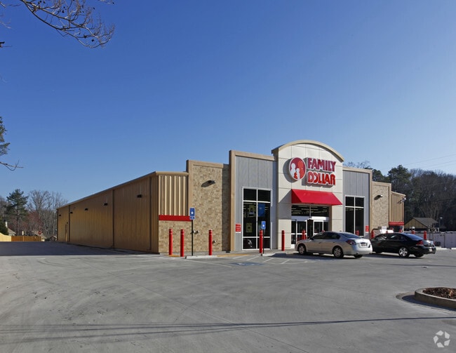
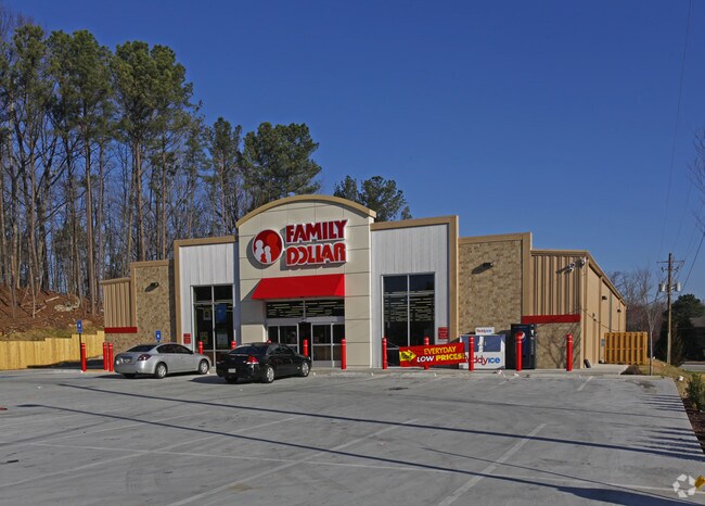
Property Record
1410 Custer Ave Se, Atlanta, GA 30316


Property Detail
1410 Custer Ave Se
15-144-02-003
222 X 483 X 194 X 280 1.72AC 10-20-88
Storebuilding
DeKalb
X
Georgia
B and X Area of moderate flood hazard, usually the area between the limits of the 100-year and 500-year floods.
3
2025
1.82 AC
2025
SE Atlanta
023801
Atlanta
10,000 SF
Atlanta-Sandy Springs-Roswell, GA
NEARBY LISTINGS FOR SALE OR LEASE
DEMOGRAPHICS near 1410 Custer Ave Se
1 mile
3 mile
5 mile
2025 Total Population
9,453
103,509
311,577
2030 Population
9,722
107,263
321,425
Pop Growth 2025-2030
+ 2.85%
+ 3.63%
+ 3.16%
Average Age
38
38
37
2025 Total Households
4,110
45,228
135,379
HH Growth 2025-2030
+ 2.75%
+ 3.55%
+ 3.30%
Median Household Inc
$92,730
$87,802
$86,350
Avg Household Size
2.20
2.20
2.10
2025 Avg HH Vehicles
2.00
1.00
1.00
Median Home Value
$437,258
$474,651
$449,773
Median Year Built
1970
1977
1981
Nearby Places
Map Layers
Map Styles
 Street
 Aerial
Layers
 Traffic
 Biking
Places
Listings with unknown addresses are not visible on the map
- Restaurants
- Banks
- Shops
- Fitness
- Groceries
PUBLIC TRANSPORTATION
COMMUTER RAIL
Atlanta (Crescent - Amtrak)
Drive
Walk
Distance
Atlanta (Crescent - Amtrak)
16 min
7.9 mi
AIRPORT
Hartsfield - Jackson Atlanta International
Drive
Walk
Distance
Hartsfield - Jackson Atlanta International
20 min
10.7 mi
Freight Ports
Georgia Ports - Savannah
Drive
Walk
Distance
Georgia Ports - Savannah
275 min
243.8 mi
SALE & LEASE HISTORY
LISTING DATE
SALE/LEASE

Feb 19, 2024
For Lease
Feb 19, 2024
For Sale
Nearby Properties
Address
Land Use
TOTAL SIZE
Lot Size
Zoning
Address
Land Use
TOTAL SIZE
Lot Size
Zoning
7 AC
C3
Address
Land Use
TOTAL SIZE
Lot Size
Zoning
543,748 SF
3.86 AC
I2
Address
Land Use
TOTAL SIZE
Lot Size
Zoning
432,056 SF
17.87 AC
C1
Address
Land Use
TOTAL SIZE
Lot Size
Zoning
400,311 SF
4.45 AC
I2
Address
Land Use
TOTAL SIZE
Lot Size
Zoning
498,515 SF
3.41 AC
C1
Address
Land Use
TOTAL SIZE
Lot Size
Zoning
595,658 SF
4.09 AC
I1
Address
Land Use
TOTAL SIZE
Lot Size
Zoning
94.93 AC
R5
Address
Land Use
TOTAL SIZE
Lot Size
Zoning
54 AC
I2
Address
Land Use
TOTAL SIZE
Lot Size
Zoning
290,130 SF
6.13 AC
R100
Address
Land Use
TOTAL SIZE
Lot Size
Zoning
566,872 SF
3.31 AC
I1
Address
Land Use
TOTAL SIZE
Lot Size
Zoning
67,882 SF
4.77 AC
X
Address
Land Use
TOTAL SIZE
Lot Size
Zoning
528,810 SF
3.61 AC
I2
Address
Land Use
TOTAL SIZE
Lot Size
Zoning
624,087 SF
4.45 AC
I2
Address
Land Use
TOTAL SIZE
Lot Size
Zoning
436,143 SF
2.90 AC
I1
Address
Land Use
TOTAL SIZE
Lot Size
Zoning
330,125 SF
7.16 AC
I1
Address
Land Use
TOTAL SIZE
Lot Size
Zoning
438,163 SF
4.45 AC
R5
Address
Land Use
TOTAL SIZE
Lot Size
Zoning
363,464 SF
2.92 AC
I2
Address
Land Use
TOTAL SIZE
Lot Size
Zoning
348,894 SF
0.58 AC
I1
Address
Land Use
TOTAL SIZE
Lot Size
Zoning
400,347 SF
3.30 AC
I2
Address
Land Use
TOTAL SIZE
Lot Size
Zoning
334,127 SF
0.01 AC
X
Address
Land Use
TOTAL SIZE
Lot Size
Zoning
335,050 SF
12.90 AC
X
Address
Land Use
TOTAL SIZE
Lot Size
Zoning
444,229 SF
2.76 AC
I1
Address
Land Use
TOTAL SIZE
Lot Size
Zoning
828,718 SF
2.60 AC
I1
Address
Land Use
TOTAL SIZE
Lot Size
Zoning
1,128,762 SF
10.39 AC
I2
Address
Land Use
TOTAL SIZE
Lot Size
Zoning
448,132 SF
0.03 AC
I2
Address
Land Use
TOTAL SIZE
Lot Size
Zoning
103,567 SF
2.80 AC
X
Address
Land Use
TOTAL SIZE
Lot Size
Zoning
317,452 SF
2.58 AC
I2
Address
Land Use
TOTAL SIZE
Lot Size
Zoning
521,674 SF
2.91 AC
I2
Address
Land Use
TOTAL SIZE
Lot Size
Zoning
1,239,747 SF
6.75 AC
I2
Address
Land Use
TOTAL SIZE
Lot Size
Zoning
81,129 SF
4.29 AC
C1
The World's #1 Commercial Real Estate Marketplace
Connect with us
© 2026 CoStar Group
The information above has been obtained from sources believed reliable. While we do not doubt its accuracy we have not verified it and make no guarantee, warranty or representation about it. It is your responsibility to independently confirm its accuracy and completeness. Any projections, opinions, assumptions, or estimates used are for example only and do not represent the current or future performance of the property. The value of this transaction to you depends on tax and other factors which should be evaluated by your tax, financial, and legal advisors. You and your advisors should conduct a careful, independent investigation of the property to determine to your satisfaction the suitability of the property for your needs.