Property Record
1414 Roller Rd, Ocean, NJ 07712
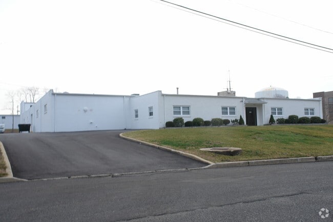


Property Detail
1414 Roller Rd
37-00182-0000-00002
Monmouth
Warehouse
New Jersey
I0
2
B and X Area of moderate flood hazard, usually the area between the limits of the 100-year and 500-year floods.
1.58 AC
2024
Eastern Monmouth
2025
Northern New Jersey
806504
Lakewood-New Brunswick, NJ
25,027 SF
NEARBY LISTINGS FOR SALE OR LEASE
DEMOGRAPHICS near 1414 Roller Rd
1 mile
3 mile
5 mile
2024 Total Population
8,152
88,001
163,308
2029 Population
8,155
89,059
165,495
Pop Growth 2024-2029
+ 0.04%
+ 1.20%
+ 1.34%
Average Age
44
43
43
2024 Total Households
3,330
37,232
68,080
HH Growth 2024-2029
(0.18%)
+ 1.06%
+ 1.30%
Median Household Inc
$107,116
$97,735
$99,235
Avg Household Size
2.40
2.30
2.30
2024 Avg HH Vehicles
2.00
2.00
2.00
Median Home Value
$710,466
$620,729
$642,962
Median Year Built
1974
1971
1968
Nearby Places
Map Layers
Map Styles
 Street
 Aerial
Transit
 Traffic
 Biking
Places
Listings with unknown addresses are not visible on the map
- Restaurants
- Banks
- Shops
- Fitness
- Groceries
Nearby Properties
Address
Land Use
TOTAL SIZE
Lot Size
Zoning
Address
Land Use
TOTAL SIZE
Lot Size
Zoning
26,282 SF
4.59 AC
MU0
Address
Land Use
TOTAL SIZE
Lot Size
Zoning
434,405 SF
52.92 AC
RT66
Address
Land Use
TOTAL SIZE
Lot Size
Zoning
69,825 SF
94.37 AC
CCRC
Address
Land Use
TOTAL SIZE
Lot Size
Zoning
75.16 AC
MF08
Address
Land Use
TOTAL SIZE
Lot Size
Zoning
739,651 SF
27.89 AC
C
Address
Land Use
TOTAL SIZE
Lot Size
Zoning
7,819 SF
28.41 AC
R-1
Address
Land Use
TOTAL SIZE
Lot Size
Zoning
113.60 AC
WBA
Address
Land Use
TOTAL SIZE
Lot Size
Zoning
14,632 SF
111.60 AC
C50
Address
Land Use
TOTAL SIZE
Lot Size
Zoning
35.50 AC
MF08
Address
Land Use
TOTAL SIZE
Lot Size
Zoning
320,341 SF
57.85 AC
C
Address
Land Use
TOTAL SIZE
Lot Size
Zoning
1,100 SF
37.83 AC
MF08
Address
Land Use
TOTAL SIZE
Lot Size
Zoning
32.19 AC
MF08
Address
Land Use
TOTAL SIZE
Lot Size
Zoning
25.37 AC
C-1
Address
Land Use
TOTAL SIZE
Lot Size
Zoning
194,812 SF
55.01 AC
MF15
Address
Land Use
TOTAL SIZE
Lot Size
Zoning
271,456 SF
1.61 AC
SF05
Address
Land Use
TOTAL SIZE
Lot Size
Zoning
279,420 SF
2.01 AC
MU24
Address
Land Use
TOTAL SIZE
Lot Size
Zoning
201,455 SF
79.34 AC
SF40
Address
Land Use
TOTAL SIZE
Lot Size
Zoning
342,256 SF
20.62 AC
MF08
Address
Land Use
TOTAL SIZE
Lot Size
Zoning
168,732 SF
2.35 AC
MU24
Address
Land Use
TOTAL SIZE
Lot Size
Zoning
153,160 SF
10.12 AC
OB01
Address
Land Use
TOTAL SIZE
Lot Size
Zoning
108,641 SF
10.64 AC
C-6
Address
Land Use
TOTAL SIZE
Lot Size
Zoning
181,064 SF
14.62 AC
IL
Address
Land Use
TOTAL SIZE
Lot Size
Zoning
5,228 SF
0.02 AC
C-3
Address
Land Use
TOTAL SIZE
Lot Size
Zoning
1,178 SF
21.78 AC
MF08
Address
Land Use
TOTAL SIZE
Lot Size
Zoning
3,094 SF
277.60 AC
MU0
Address
Land Use
TOTAL SIZE
Lot Size
Zoning
224,683 SF
21.56 AC
CHS
Address
Land Use
TOTAL SIZE
Lot Size
Zoning
91,173 SF
4.07 AC
R3
Address
Land Use
TOTAL SIZE
Lot Size
Zoning
132,378 SF
8.10 AC
OB01
Address
Land Use
TOTAL SIZE
Lot Size
Zoning
Address
Land Use
TOTAL SIZE
Lot Size
Zoning
183,932 SF
23.51 AC
IL
The World's #1 Commercial Real Estate Marketplace
Connect with us
© 2026 CoStar Group
The information above has been obtained from sources believed reliable. While we do not doubt its accuracy we have not verified it and make no guarantee, warranty or representation about it. It is your responsibility to independently confirm its accuracy and completeness. Any projections, opinions, assumptions, or estimates used are for example only and do not represent the current or future performance of the property. The value of this transaction to you depends on tax and other factors which should be evaluated by your tax, financial, and legal advisors. You and your advisors should conduct a careful, independent investigation of the property to determine to your satisfaction the suitability of the property for your needs.