Property Record
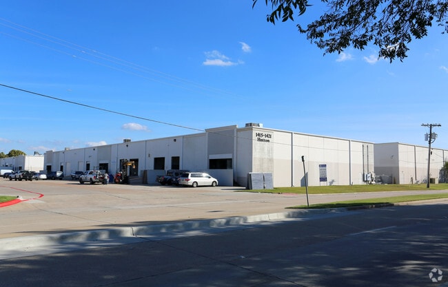
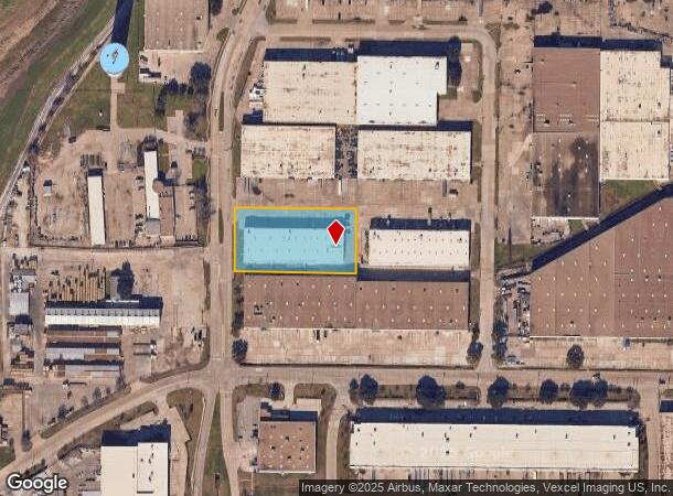
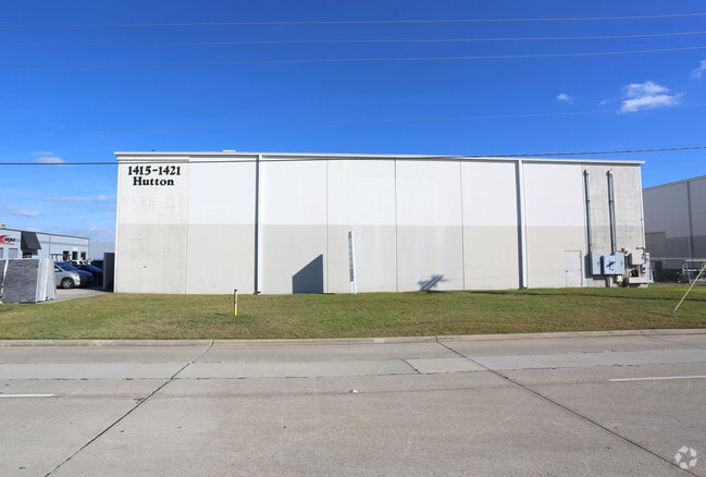
1415 Hutton Dr, Carrollton, TX 75006

NEARBY LISTINGS FOR SALE OR LEASE
Property Detail
1415 Hutton Dr
Dallas-Fort Worth-Arlington, TX
Dunn Properties Industrial Park
14040500020020000
DUNN PROPERTIES INDUSTRIAL PARK BLK B LOT 2 ACS 1.574 INT202500005310 DD01092025 CO-DC 0405000200200 9CC04050002
Warehouse
Dallas
X
Texas
48113C0160K
2
2024
1.57 AC
2025
N Stemmons/Valwood
014002
Dallas/Ft Worth
29,500 SF
DEMOGRAPHICS near 1415 Hutton Dr
1 Mile
3 Mile
5 Mile
2024 Total Population
3,525
86,154
277,715
2029 Population
3,615
86,119
289,943
Pop Growth 2024-2029
+ 2.55%
(0.04%)
+ 4.40%
Average Age
36
37
37
2024 Total Households
1,473
32,210
109,677
HH Growth 2024-2029
+ 2.72%
+ 0.05%
+ 4.43%
Median Household Inc
$77,553
$80,882
$87,553
Avg Household Size
2.40
2.60
2.50
2024 Avg HH Vehicles
2.00
2.00
2.00
Median Home Value
$234,598
$301,347
$342,616
Median Year Built
2010
1987
1989
Nearby Places
Map Layers
Map Styles
 Street
 Aerial
- Restaurants
- Banks
- Shops
- Fitness
- Groceries
PUBLIC TRANSPORTATION
TRANSIT/SUBWAY
Downtown Carrollton Station (DART LIGHT RAIL - GREEN LINE - Dallas Area Rapid Transit (DART), Green Line - Dallas Area Rapid Transit (DART))
DRIVE
WALK
Distance
Downtown Carrollton Station (DART LIGHT RAIL - GREEN LINE - Dallas Area Rapid Transit (DART), Green Line - Dallas Area Rapid Transit (DART))
2 min
19 min
0.9 mi
COMMUTER RAIL
Trinity Mills Station (Green Line - Dallas Area Rapid Transit (DART))
DRIVE
WALK
Distance
Trinity Mills Station (Green Line - Dallas Area Rapid Transit (DART))
6 min
3.1 mi
Hebron Station (A-train - Denton County Transportation Authority)
DRIVE
WALK
Distance
Hebron Station (A-train - Denton County Transportation Authority)
11 min
6.1 mi
AIRPORT
Dallas Love Field
DRIVE
WALK
Distance
Dallas Love Field
21 min
12.6 mi
Dallas-Fort Worth International
DRIVE
WALK
Distance
Dallas-Fort Worth International
20 min
14.0 mi
Freight Ports
Port of Shreveport
DRIVE
WALK
Distance
Port of Shreveport
227 min
210.1 mi
SALE & LEASE HISTORY
LISTING DATE
SALE/LEASE

Nov 26, 2019
For Lease
Nov 05, 2024
For Lease
Apr 08, 2022
For Lease
Nearby Properties
Address
Land Use
TOTAL SIZE
Lot Size
Zoning
Address
Land Use
TOTAL SIZE
Lot Size
Zoning
655,587 SF
8.02 AC
Address
Land Use
TOTAL SIZE
Lot Size
Zoning
371,837 SF
54.36 AC
Z86
Address
Land Use
TOTAL SIZE
Lot Size
Zoning
605,278 SF
10.70 AC
Z236
Address
Land Use
TOTAL SIZE
Lot Size
Zoning
513,871 SF
3.63 AC
Z235
Address
Land Use
TOTAL SIZE
Lot Size
Zoning
242,707 SF
27.63 AC
Z343
Address
Land Use
TOTAL SIZE
Lot Size
Zoning
368,845 SF
20.96 AC
Z172
Address
Land Use
TOTAL SIZE
Lot Size
Zoning
544,650 SF
26.03 AC
Z177
Address
Land Use
TOTAL SIZE
Lot Size
Zoning
544,163 SF
11.24 AC
Z236
Address
Land Use
TOTAL SIZE
Lot Size
Zoning
578,538 SF
10.72 AC
Z236
Address
Land Use
TOTAL SIZE
Lot Size
Zoning
321,732 SF
4.05 AC
Z235
Address
Land Use
TOTAL SIZE
Lot Size
Zoning
589,083 SF
9.86 AC
Z236
Address
Land Use
TOTAL SIZE
Lot Size
Zoning
345,320 SF
20.50 AC
Z172
Address
Land Use
TOTAL SIZE
Lot Size
Zoning
452,875 SF
5.29 AC
Z236
Address
Land Use
TOTAL SIZE
Lot Size
Zoning
266,871 SF
87 SF
Address
Land Use
TOTAL SIZE
Lot Size
Zoning
329,798 SF
14.78 AC
Z243
Address
Land Use
TOTAL SIZE
Lot Size
Zoning
725,972 SF
4 AC
Address
Land Use
TOTAL SIZE
Lot Size
Zoning
364,670 SF
13.72 AC
Z393
Address
Land Use
TOTAL SIZE
Lot Size
Zoning
283,285 SF
16.80 AC
Z172
Address
Land Use
TOTAL SIZE
Lot Size
Zoning
292,049 SF
11.44 AC
Z243
Address
Land Use
TOTAL SIZE
Lot Size
Zoning
111,970 SF
19.12 AC
Z243
Address
Land Use
TOTAL SIZE
Lot Size
Zoning
270,915 SF
3.91 AC
Z84
Address
Land Use
TOTAL SIZE
Lot Size
Zoning
396,899 SF
3.68 AC
Z236
Address
Land Use
TOTAL SIZE
Lot Size
Zoning
330,000 SF
3.05 AC
Z236
Address
Land Use
TOTAL SIZE
Lot Size
Zoning
374,093 SF
21.54 AC
Z268
Address
Land Use
TOTAL SIZE
Lot Size
Zoning
300,956 SF
8.79 AC
Z236
Address
Land Use
TOTAL SIZE
Lot Size
Zoning
350,002 SF
21.01 AC
Z172
Address
Land Use
TOTAL SIZE
Lot Size
Zoning
228,674 SF
11.81 AC
Z235
Address
Land Use
TOTAL SIZE
Lot Size
Zoning
242,280 SF
13.61 AC
Z176
Address
Land Use
TOTAL SIZE
Lot Size
Zoning
655,587 SF
8.02 AC
Z236
Address
Land Use
TOTAL SIZE
Lot Size
Zoning
227,032 SF
11 AC
Z243
The World's #1 Commercial Real Estate Marketplace
Connect with us
© 2025 CoStar Group
The information above has been obtained from sources believed reliable. While we do not doubt its accuracy we have not verified it and make no guarantee, warranty or representation about it. It is your responsibility to independently confirm its accuracy and completeness. Any projections, opinions, assumptions, or estimates used are for example only and do not represent the current or future performance of the property. The value of this transaction to you depends on tax and other factors which should be evaluated by your tax, financial, and legal advisors. You and your advisors should conduct a careful, independent investigation of the property to determine to your satisfaction the suitability of the property for your needs.