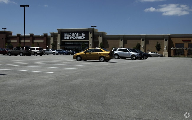
Property Record
14275 Manchester Rd, Ballwin, MO 63011

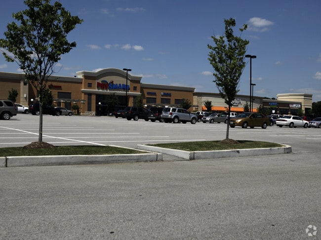
NEARBY LISTINGS FOR SALE OR LEASE
Property Detail
14275 Manchester Rd
St. Louis, MO-IL
Manchester Highlands Plat Two
23Q-53-0711
MANCHESTER HIGHLANDS PLAT TWO LOT 3
Vehiclerentalsvehiclesales
St. Louis
X
Missouri
29099C0025F
3
2024
10.99 AC
2025
West County
217807
St. Louis
137,873 SF
DEMOGRAPHICS near 14275 Manchester Rd
1 Mile
3 Mile
5 Mile
2024 Total Population
8,959
76,315
155,099
2029 Population
8,763
74,415
151,478
Pop Growth 2024-2029
(2.19%)
(2.49%)
(2.33%)
Average Age
39
42
43
2024 Total Households
3,480
30,747
60,590
HH Growth 2024-2029
(2.27%)
(2.53%)
(2.38%)
Median Household Inc
$92,095
$101,110
$113,663
Avg Household Size
2.50
2.40
2.50
2024 Avg HH Vehicles
2.00
2.00
2.00
Median Home Value
$285,318
$318,367
$365,559
Median Year Built
1972
1977
1978
Nearby Places
Map Layers
Map Styles
 Street
 Aerial
- Restaurants
- Banks
- Shops
- Fitness
- Groceries
PUBLIC TRANSPORTATION
COMMUTER RAIL
Kirkwood Amtrak Station (Lincoln Service Missouri River Runner - Amtrak, Missouri River Runner - Amtrak)
DRIVE
WALK
Distance
Kirkwood Amtrak Station (Lincoln Service Missouri River Runner - Amtrak, Missouri River Runner - Amtrak)
15 min
7.0 mi
AIRPORT
St Louis Lambert International
DRIVE
WALK
Distance
St Louis Lambert International
32 min
20.7 mi
Freight Ports
Tulsa Port of Inola
DRIVE
WALK
Distance
Tulsa Port of Inola
408 min
369.9 mi
Nearby Properties
Address
Land Use
TOTAL SIZE
Lot Size
Zoning
Address
Land Use
TOTAL SIZE
Lot Size
Zoning
96.62 AC
R3
Address
Land Use
TOTAL SIZE
Lot Size
Zoning
100,291 SF
569.29 AC
PS
Address
Land Use
TOTAL SIZE
Lot Size
Zoning
65.15 AC
105NU
Address
Land Use
TOTAL SIZE
Lot Size
Zoning
1,635 SF
68.83 AC
83E
Address
Land Use
TOTAL SIZE
Lot Size
Zoning
302,449 SF
11.44 AC
NU
Address
Land Use
TOTAL SIZE
Lot Size
Zoning
415,744 SF
62.46 AC
M3
Address
Land Use
TOTAL SIZE
Lot Size
Zoning
183,445 SF
6.82 AC
NU
Address
Land Use
TOTAL SIZE
Lot Size
Zoning
284,400 SF
10.72 AC
55RSING
Address
Land Use
TOTAL SIZE
Lot Size
Zoning
403,166 SF
23.17 AC
R4
Address
Land Use
TOTAL SIZE
Lot Size
Zoning
144,773 SF
10.99 AC
17C-5
Address
Land Use
TOTAL SIZE
Lot Size
Zoning
68,441 SF
26.01 AC
58PDC
Address
Land Use
TOTAL SIZE
Lot Size
Zoning
19.25 AC
55INSTU
Address
Land Use
TOTAL SIZE
Lot Size
Zoning
201,837 SF
27.89 AC
83C
Address
Land Use
TOTAL SIZE
Lot Size
Zoning
206,018 SF
18.78 AC
R1
Address
Land Use
TOTAL SIZE
Lot Size
Zoning
7.32 AC
83C
Address
Land Use
TOTAL SIZE
Lot Size
Zoning
137,362 SF
3.47 AC
NU
Address
Land Use
TOTAL SIZE
Lot Size
Zoning
180,808 SF
18.30 AC
83SM
Address
Land Use
TOTAL SIZE
Lot Size
Zoning
153,489 SF
13.01 AC
93C-1
Address
Land Use
TOTAL SIZE
Lot Size
Zoning
246,426 SF
8.87 AC
94R-6
Address
Land Use
TOTAL SIZE
Lot Size
Zoning
69,910 SF
8.62 AC
M3
Address
Land Use
TOTAL SIZE
Lot Size
Zoning
212,328 SF
17.98 AC
94R-1
Address
Land Use
TOTAL SIZE
Lot Size
Zoning
23.18 AC
105NU
Address
Land Use
TOTAL SIZE
Lot Size
Zoning
220,288 SF
11.09 AC
93R-4
Address
Land Use
TOTAL SIZE
Lot Size
Zoning
191,316 SF
7.61 AC
R4
Address
Land Use
TOTAL SIZE
Lot Size
Zoning
129,375 SF
5.79 AC
17C-5
Address
Land Use
TOTAL SIZE
Lot Size
Zoning
181,170 SF
9.74 AC
94R-6
Address
Land Use
TOTAL SIZE
Lot Size
Zoning
181,790 SF
16.64 AC
R4
Address
Land Use
TOTAL SIZE
Lot Size
Zoning
177,250 SF
23.87 AC
M1
Address
Land Use
TOTAL SIZE
Lot Size
Zoning
177,900 SF
23.46 AC
FPM3
The World's #1 Commercial Real Estate Marketplace
Connect with us
© 2025 CoStar Group
The information above has been obtained from sources believed reliable. While we do not doubt its accuracy we have not verified it and make no guarantee, warranty or representation about it. It is your responsibility to independently confirm its accuracy and completeness. Any projections, opinions, assumptions, or estimates used are for example only and do not represent the current or future performance of the property. The value of this transaction to you depends on tax and other factors which should be evaluated by your tax, financial, and legal advisors. You and your advisors should conduct a careful, independent investigation of the property to determine to your satisfaction the suitability of the property for your needs.