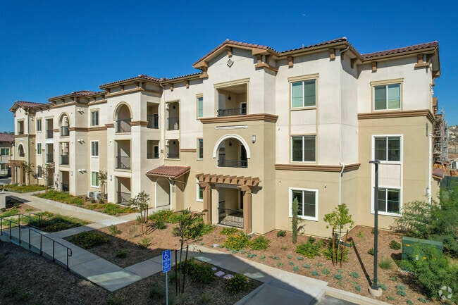
Property Record
14400 Lasselle St, Moreno Valley, CA 92553

NEARBY LISTINGS FOR SALE OR LEASE
-
-
View all Moreno Valley listings for sale on LoopNet.com
Property Detail
14400 Lasselle St
Inland Empire (California)
Tract 349501
Riverside-San Bernardino-Ontario, CA
ACRES 10.76000000 ACREAGEQUALCODE ML LOT 2-P LOTTYPE L MAPPLATB 433 MAPPLATP 093 SUBDIVISIONNAME TR 34950-1
486-280-065
Riverside
Apartment
California
2024
2-p
2025
10.76 AC
048700
Moreno Valley East
74,096 SF
DEMOGRAPHICS near 14400 Lasselle St
1 Mile
3 Mile
5 Mile
2024 Total Population
17,080
136,015
203,302
2029 Population
17,930
142,697
213,300
Pop Growth 2024-2029
+ 4.98%
+ 4.91%
+ 4.92%
Average Age
34
34
34
2024 Total Households
4,226
34,471
52,902
HH Growth 2024-2029
+ 4.45%
+ 4.45%
+ 4.45%
Median Household Inc
$72,429
$77,127
$75,552
Avg Household Size
3.80
3.80
3.70
2024 Avg HH Vehicles
3.00
3.00
3.00
Median Home Value
$361,678
$385,180
$390,201
Median Year Built
1985
1987
1987
Nearby Places
Map Layers
Map Styles
 Street
 Aerial
- Restaurants
- Banks
- Shops
- Fitness
- Groceries
PUBLIC TRANSPORTATION
COMMUTER RAIL
Moreno Valley/March Field (Metrolink 91-Perris Valley Line - Metrolink Trains)
DRIVE
WALK
Distance
Moreno Valley/March Field (Metrolink 91-Perris Valley Line - Metrolink Trains)
9 min
4.9 mi
Perris Downtown (Metrolink 91-Perris Valley Line - Metrolink Trains)
DRIVE
WALK
Distance
Perris Downtown (Metrolink 91-Perris Valley Line - Metrolink Trains)
17 min
10.0 mi
AIRPORT
Ontario International
DRIVE
WALK
Distance
Ontario International
38 min
29.1 mi
Freight Ports
Port of Long Beach
DRIVE
WALK
Distance
Port of Long Beach
89 min
65.6 mi
Nearby Properties
Address
Land Use
TOTAL SIZE
Lot Size
Zoning
Address
Land Use
TOTAL SIZE
Lot Size
Zoning
1,331,763 SF
62.60 AC
Address
Land Use
TOTAL SIZE
Lot Size
Zoning
1,280,446 SF
51.47 AC
Address
Land Use
TOTAL SIZE
Lot Size
Zoning
253,176 SF
19.68 AC
Address
Land Use
TOTAL SIZE
Lot Size
Zoning
1,461,146 SF
72.62 AC
Address
Land Use
TOTAL SIZE
Lot Size
Zoning
788,048 SF
38.63 AC
Address
Land Use
TOTAL SIZE
Lot Size
Zoning
63,962 SF
11.43 AC
H
Address
Land Use
TOTAL SIZE
Lot Size
Zoning
1,103,003 SF
47.64 AC
LI
Address
Land Use
TOTAL SIZE
Lot Size
Zoning
532,926 SF
24.37 AC
Address
Land Use
TOTAL SIZE
Lot Size
Zoning
400,935 SF
19.07 AC
Address
Land Use
TOTAL SIZE
Lot Size
Zoning
34,691 SF
25.86 AC
C
Address
Land Use
TOTAL SIZE
Lot Size
Zoning
337,740 SF
15.73 AC
Address
Land Use
TOTAL SIZE
Lot Size
Zoning
41,521 SF
13.43 AC
C
Address
Land Use
TOTAL SIZE
Lot Size
Zoning
561,351 SF
28.18 AC
Address
Land Use
TOTAL SIZE
Lot Size
Zoning
170,192 SF
10.42 AC
CC
Address
Land Use
TOTAL SIZE
Lot Size
Zoning
126,104 SF
7.73 AC
CC
Address
Land Use
TOTAL SIZE
Lot Size
Zoning
256,795 SF
12 AC
Address
Land Use
TOTAL SIZE
Lot Size
Zoning
20,643 SF
7.18 AC
Address
Land Use
TOTAL SIZE
Lot Size
Zoning
171,328 SF
10.29 AC
C
Address
Land Use
TOTAL SIZE
Lot Size
Zoning
161,730 SF
8.65 AC
Address
Land Use
TOTAL SIZE
Lot Size
Zoning
104,282 SF
6.71 AC
BP
Address
Land Use
TOTAL SIZE
Lot Size
Zoning
73,760 SF
10.14 AC
Address
Land Use
TOTAL SIZE
Lot Size
Zoning
212,680 SF
9.78 AC
Address
Land Use
TOTAL SIZE
Lot Size
Zoning
203,944 SF
7.88 AC
Address
Land Use
TOTAL SIZE
Lot Size
Zoning
223,637 SF
20.68 AC
Address
Land Use
TOTAL SIZE
Lot Size
Zoning
180,043 SF
8.76 AC
Address
Land Use
TOTAL SIZE
Lot Size
Zoning
185,055 SF
9.48 AC
Address
Land Use
TOTAL SIZE
Lot Size
Zoning
3.80 AC
C
Address
Land Use
TOTAL SIZE
Lot Size
Zoning
78,848 SF
9.77 AC
CC
The World's #1 Commercial Real Estate Marketplace
Connect with us
© 2025 CoStar Group
The information above has been obtained from sources believed reliable. While we do not doubt its accuracy we have not verified it and make no guarantee, warranty or representation about it. It is your responsibility to independently confirm its accuracy and completeness. Any projections, opinions, assumptions, or estimates used are for example only and do not represent the current or future performance of the property. The value of this transaction to you depends on tax and other factors which should be evaluated by your tax, financial, and legal advisors. You and your advisors should conduct a careful, independent investigation of the property to determine to your satisfaction the suitability of the property for your needs.