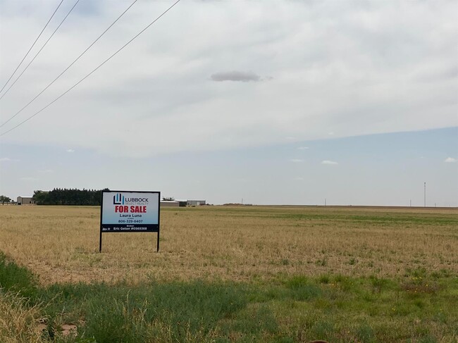
Property Record
14405 Highway 87, Lubbock, TX 79423


NEARBY LISTINGS FOR SALE OR LEASE
Property Detail
14405 Highway 87
Lubbock, TX
Sec 17 Abst 130
R98344
BLK E SEC 17 AB 130 TR 1 OF S PT OF SE/4 AC: 4.474
Sfr
Lubbock
A
Texas
48303C0430F
301
2024
4.47 AC
2025
Outlying Lubbock County
010513
Lubbock
2,010 SF
DEMOGRAPHICS near 14405 Highway 87
1 mile
3 mile
5 mile
2024 Total Population
1,729
14,402
55,448
2029 Population
1,840
15,467
59,092
Pop Growth 2024-2029
+ 6.42%
+ 7.39%
+ 6.57%
Average Age
32
33
36
2024 Total Households
616
5,146
21,002
HH Growth 2024-2029
+ 6.66%
+ 7.60%
+ 6.69%
Median Household Inc
$95,244
$92,701
$83,077
Avg Household Size
2.80
2.80
2.60
2024 Avg HH Vehicles
2.00
2.00
2.00
Median Home Value
$312,662
$281,734
$223,856
Median Year Built
2010
2009
1997
Nearby Places
Map Layers
Map Styles
 Street
 Aerial
Transit
 Traffic
 Biking
Places
Listings with unknown addresses are not visible on the map
- Restaurants
- Banks
- Shops
- Fitness
- Groceries
PUBLIC TRANSPORTATION
AIRPORT
Lubbock Preston Smith International
Drive
Walk
Distance
Lubbock Preston Smith International
29 min
19.6 mi
Freight Ports
Tulsa Port Of Catoosa
Drive
Walk
Distance
Tulsa Port Of Catoosa
513 min
475.6 mi
SALE & LEASE HISTORY
LISTING DATE
SALE/LEASE

Jul 11, 2020
For Sale
Nearby Properties
Address
Land Use
TOTAL SIZE
Lot Size
Zoning
Address
Land Use
TOTAL SIZE
Lot Size
Zoning
261,401 SF
15 AC
Address
Land Use
TOTAL SIZE
Lot Size
Zoning
418,925 SF
37.22 AC
Address
Land Use
TOTAL SIZE
Lot Size
Zoning
187,545 SF
11.27 AC
Address
Land Use
TOTAL SIZE
Lot Size
Zoning
169,139 SF
12.07 AC
Address
Land Use
TOTAL SIZE
Lot Size
Zoning
287,665 SF
29.59 AC
Address
Land Use
TOTAL SIZE
Lot Size
Zoning
247,475 SF
53 AC
Address
Land Use
TOTAL SIZE
Lot Size
Zoning
202,036 SF
17.12 AC
Address
Land Use
TOTAL SIZE
Lot Size
Zoning
60,536 SF
7.78 AC
Address
Land Use
TOTAL SIZE
Lot Size
Zoning
33,400 SF
3.03 AC
Address
Land Use
TOTAL SIZE
Lot Size
Zoning
53,465 SF
9.90 AC
Address
Land Use
TOTAL SIZE
Lot Size
Zoning
29,358 SF
38.80 AC
Address
Land Use
TOTAL SIZE
Lot Size
Zoning
94,205 SF
4.02 AC
Address
Land Use
TOTAL SIZE
Lot Size
Zoning
182,106 SF
63.11 AC
Address
Land Use
TOTAL SIZE
Lot Size
Zoning
25,207 SF
4.61 AC
Address
Land Use
TOTAL SIZE
Lot Size
Zoning
29,630 SF
4.90 AC
Address
Land Use
TOTAL SIZE
Lot Size
Zoning
41,900 SF
10.58 AC
Address
Land Use
TOTAL SIZE
Lot Size
Zoning
18,414 SF
1.84 AC
Address
Land Use
TOTAL SIZE
Lot Size
Zoning
7,019 SF
2.51 AC
Address
Land Use
TOTAL SIZE
Lot Size
Zoning
17,804 SF
3.61 AC
Address
Land Use
TOTAL SIZE
Lot Size
Zoning
73,796 SF
4.18 AC
Address
Land Use
TOTAL SIZE
Lot Size
Zoning
67,500 SF
6.92 AC
Address
Land Use
TOTAL SIZE
Lot Size
Zoning
5,609 SF
2.42 AC
Address
Land Use
TOTAL SIZE
Lot Size
Zoning
6,912 SF
1.65 AC
Address
Land Use
TOTAL SIZE
Lot Size
Zoning
5,100 SF
2.77 AC
Address
Land Use
TOTAL SIZE
Lot Size
Zoning
70,100 SF
5.01 AC
Address
Land Use
TOTAL SIZE
Lot Size
Zoning
9,480 SF
1.20 AC
Address
Land Use
TOTAL SIZE
Lot Size
Zoning
44,050 SF
4.75 AC
Address
Land Use
TOTAL SIZE
Lot Size
Zoning
17,420 SF
1.51 AC
Address
Land Use
TOTAL SIZE
Lot Size
Zoning
70,800 SF
6.50 AC
Address
Land Use
TOTAL SIZE
Lot Size
Zoning
22,000 SF
11.92 AC
The World's #1 Commercial Real Estate Marketplace
Connect with us
© 2026 CoStar Group
The information above has been obtained from sources believed reliable. While we do not doubt its accuracy we have not verified it and make no guarantee, warranty or representation about it. It is your responsibility to independently confirm its accuracy and completeness. Any projections, opinions, assumptions, or estimates used are for example only and do not represent the current or future performance of the property. The value of this transaction to you depends on tax and other factors which should be evaluated by your tax, financial, and legal advisors. You and your advisors should conduct a careful, independent investigation of the property to determine to your satisfaction the suitability of the property for your needs.