Property Record
145 Riverton Commons Dr, Front Royal, VA 22630
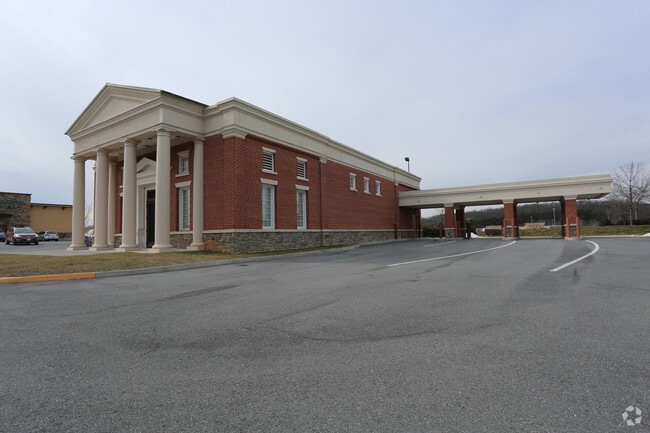

Property Detail
145 Riverton Commons Dr
12L-5
LAND UNIT 5 RIVERTON COMMONS LAND CONDOMINIUM LR07-4980 FR TM 12-52
Multipleuses
Warren
C
Virginia
B and X Area of moderate flood hazard, usually the area between the limits of the 100-year and 500-year floods.
1.52 AC
2025
Warren County
2026
Washington, DC
020601
Washington-Arlington-Alexandria, DC-VA-MD-WV
5,820 SF
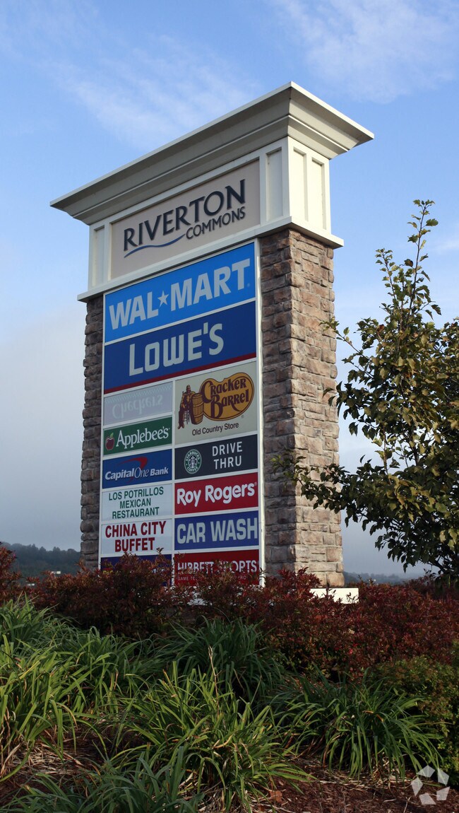
NEARBY LISTINGS FOR SALE OR LEASE
DEMOGRAPHICS near 145 Riverton Commons Dr
1 mile
3 mile
5 mile
2025 Total Population
267
10,863
26,034
2030 Population
279
11,268
27,065
Pop Growth 2025-2030
+ 4.49%
+ 3.73%
+ 3.96%
Average Age
41
40
41
2025 Total Households
93
3,859
9,668
HH Growth 2025-2030
+ 5.38%
+ 3.78%
+ 4.03%
Median Household Inc
$120,833
$70,558
$73,634
Avg Household Size
2.70
2.60
2.60
2025 Avg HH Vehicles
3.00
2.00
2.00
Median Home Value
$471,999
$327,971
$342,630
Median Year Built
1999
1977
1978
Nearby Places
Map Layers
Map Styles
 Street
 Aerial
Layers
 Traffic
 Biking
Places
Listings with unknown addresses are not visible on the map
- Restaurants
- Banks
- Shops
- Fitness
- Groceries
SALE & LEASE HISTORY
LISTING DATE
SALE/LEASE

Sep 23, 2016
For Sale
Oct 08, 2018
For Lease
Mar 17, 2017
For Sale
Nearby Properties
Address
Land Use
TOTAL SIZE
Lot Size
Zoning
Address
Land Use
TOTAL SIZE
Lot Size
Zoning
862,486 SF
138.95 AC
I
Address
Land Use
TOTAL SIZE
Lot Size
Zoning
177,360 SF
27.63 AC
I
Address
Land Use
TOTAL SIZE
Lot Size
Zoning
2,352 SF
20 AC
RE
Address
Land Use
TOTAL SIZE
Lot Size
Zoning
340,180 SF
20.58 AC
A
Address
Land Use
TOTAL SIZE
Lot Size
Zoning
18,555 SF
61.47 AC
I
Address
Land Use
TOTAL SIZE
Lot Size
Zoning
123,668 SF
4.93 AC
R3
Address
Land Use
TOTAL SIZE
Lot Size
Zoning
6,433 SF
57 AC
A
Address
Land Use
TOTAL SIZE
Lot Size
Zoning
2,994 SF
185.33 AC
I
Address
Land Use
TOTAL SIZE
Lot Size
Zoning
85,956 SF
29.42 AC
R1
Address
Land Use
TOTAL SIZE
Lot Size
Zoning
279,600 SF
33.95 AC
I
Address
Land Use
TOTAL SIZE
Lot Size
Zoning
219,065 SF
23.40 AC
C
Address
Land Use
TOTAL SIZE
Lot Size
Zoning
252,289 SF
89.48 AC
I
Address
Land Use
TOTAL SIZE
Lot Size
Zoning
110,693 SF
30.65 AC
R3
Address
Land Use
TOTAL SIZE
Lot Size
Zoning
138,015 SF
9.94 AC
I
Address
Land Use
TOTAL SIZE
Lot Size
Zoning
82,582 SF
7.03 AC
C
Address
Land Use
TOTAL SIZE
Lot Size
Zoning
7,432 SF
137.61 AC
I
Address
Land Use
TOTAL SIZE
Lot Size
Zoning
14,026 SF
9.78 AC
C
Address
Land Use
TOTAL SIZE
Lot Size
Zoning
147,298 SF
13.13 AC
C
Address
Land Use
TOTAL SIZE
Lot Size
Zoning
127,633 SF
11.37 AC
C
Address
Land Use
TOTAL SIZE
Lot Size
Zoning
61,410 SF
5.94 AC
C
Address
Land Use
TOTAL SIZE
Lot Size
Zoning
45,446 SF
1.68 AC
C
Address
Land Use
TOTAL SIZE
Lot Size
Zoning
112,910 SF
6.69 AC
C
Address
Land Use
TOTAL SIZE
Lot Size
Zoning
37,745 SF
2.74 AC
C2
Address
Land Use
TOTAL SIZE
Lot Size
Zoning
50,184 SF
4.52 AC
C3
Address
Land Use
TOTAL SIZE
Lot Size
Zoning
53,764 SF
15.92 AC
I2
Address
Land Use
TOTAL SIZE
Lot Size
Zoning
18,900 SF
5.24 AC
I2
Address
Land Use
TOTAL SIZE
Lot Size
Zoning
119,966 SF
8.82 AC
I1
Address
Land Use
TOTAL SIZE
Lot Size
Zoning
43.56 AC
R2
Address
Land Use
TOTAL SIZE
Lot Size
Zoning
76,800 SF
13.94 AC
I
Address
Land Use
TOTAL SIZE
Lot Size
Zoning
48,000 SF
6.51 AC
I
The World's #1 Commercial Real Estate Marketplace
Connect with us
© 2026 CoStar Group
The information above has been obtained from sources believed reliable. While we do not doubt its accuracy we have not verified it and make no guarantee, warranty or representation about it. It is your responsibility to independently confirm its accuracy and completeness. Any projections, opinions, assumptions, or estimates used are for example only and do not represent the current or future performance of the property. The value of this transaction to you depends on tax and other factors which should be evaluated by your tax, financial, and legal advisors. You and your advisors should conduct a careful, independent investigation of the property to determine to your satisfaction the suitability of the property for your needs.