Property Record
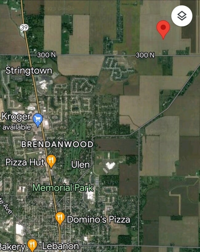
1450 E 300 N, Lebanon, IN 46052

NEARBY LISTINGS FOR SALE OR LEASE
Property Detail
1450 E 300 N
06-11-17-000-001.003-001
PT SW 17-19-1E 136.16A
Agriculturalland
Boone
X
Indiana
18011C0179E
136.16 AC
2024
Boone County
2025
Indianapolis
810300
Indianapolis-Carmel-Greenwood, IN
DEMOGRAPHICS near 1450 E 300 N
1 Mile
3 Mile
5 Mile
2024 Total Population
652
13,938
20,019
2029 Population
729
15,562
22,335
Pop Growth 2024-2029
+ 11.81%
+ 11.65%
+ 11.57%
Average Age
43
42
41
2024 Total Households
254
6,040
8,445
HH Growth 2024-2029
+ 12.20%
+ 11.97%
+ 11.89%
Median Household Inc
$113,425
$71,497
$68,984
Avg Household Size
2.50
2.20
2.30
2024 Avg HH Vehicles
3.00
2.00
2.00
Median Home Value
$268,749
$193,472
$184,543
Median Year Built
1984
1977
1976
Nearby Places
Map Layers
Map Styles
 Street
 Aerial
- Restaurants
- Banks
- Shops
- Fitness
- Groceries
PUBLIC TRANSPORTATION
AIRPORT
Indianapolis International
DRIVE
WALK
Distance
Indianapolis International
56 min
36.9 mi
Freight Ports
Port of Toledo
DRIVE
WALK
Distance
Port of Toledo
294 min
245.5 mi
SALE & LEASE HISTORY
LISTING DATE
SALE/LEASE

Jun 15, 2023
For Sale
Nearby Properties
Address
Land Use
TOTAL SIZE
Lot Size
Zoning
Address
Land Use
TOTAL SIZE
Lot Size
Zoning
165.63 AC
ZO01
Address
Land Use
TOTAL SIZE
Lot Size
Zoning
3,700 SF
11.88 AC
ZO01
Address
Land Use
TOTAL SIZE
Lot Size
Zoning
78.33 AC
ZO01
Address
Land Use
TOTAL SIZE
Lot Size
Zoning
1,820 SF
37.54 AC
ZO01
Address
Land Use
TOTAL SIZE
Lot Size
Zoning
156,844 SF
20.45 AC
ZO01
Address
Land Use
TOTAL SIZE
Lot Size
Zoning
2,669 SF
7.13 AC
ZO01
Address
Land Use
TOTAL SIZE
Lot Size
Zoning
46,535 SF
5.90 AC
ZO01
Address
Land Use
TOTAL SIZE
Lot Size
Zoning
34,048 SF
20.21 AC
ZO01
Address
Land Use
TOTAL SIZE
Lot Size
Zoning
53,822 SF
6.47 AC
ZO01
Address
Land Use
TOTAL SIZE
Lot Size
Zoning
25,092 SF
3.61 AC
ZO01
Address
Land Use
TOTAL SIZE
Lot Size
Zoning
39,648 SF
1.16 AC
ZO01
Address
Land Use
TOTAL SIZE
Lot Size
Zoning
17.50 AC
ZO01
Address
Land Use
TOTAL SIZE
Lot Size
Zoning
44,672 SF
2.82 AC
ZO01
Address
Land Use
TOTAL SIZE
Lot Size
Zoning
61,353 SF
7.09 AC
ZO01
Address
Land Use
TOTAL SIZE
Lot Size
Zoning
1,636 SF
6.78 AC
ZO01
Address
Land Use
TOTAL SIZE
Lot Size
Zoning
48,580 SF
0.89 AC
ZO01
Address
Land Use
TOTAL SIZE
Lot Size
Zoning
37,566 SF
6.79 AC
ZO01
Address
Land Use
TOTAL SIZE
Lot Size
Zoning
9,960 SF
0.39 AC
ZO01
Address
Land Use
TOTAL SIZE
Lot Size
Zoning
3,044 SF
9.20 AC
ZO01
Address
Land Use
TOTAL SIZE
Lot Size
Zoning
33,983 SF
2.03 AC
ZO01
Address
Land Use
TOTAL SIZE
Lot Size
Zoning
49,914 SF
6.47 AC
ZO01
Address
Land Use
TOTAL SIZE
Lot Size
Zoning
8,320 SF
4.12 AC
ZO01
Address
Land Use
TOTAL SIZE
Lot Size
Zoning
15,427 SF
3.51 AC
ZO01
Address
Land Use
TOTAL SIZE
Lot Size
Zoning
39,537 SF
4.86 AC
ZO01
Address
Land Use
TOTAL SIZE
Lot Size
Zoning
41,532 SF
4.48 AC
ZO01
Address
Land Use
TOTAL SIZE
Lot Size
Zoning
222,800 SF
7.17 AC
ZO01
Address
Land Use
TOTAL SIZE
Lot Size
Zoning
10,275 SF
4.42 AC
ZO01
Address
Land Use
TOTAL SIZE
Lot Size
Zoning
6,031 SF
0.99 AC
ZO01
Address
Land Use
TOTAL SIZE
Lot Size
Zoning
13,644 SF
24.99 AC
ZO01
Address
Land Use
TOTAL SIZE
Lot Size
Zoning
12,521 SF
4.61 AC
ZO01
The World's #1 Commercial Real Estate Marketplace
Connect with us
© 2026 CoStar Group
The information above has been obtained from sources believed reliable. While we do not doubt its accuracy we have not verified it and make no guarantee, warranty or representation about it. It is your responsibility to independently confirm its accuracy and completeness. Any projections, opinions, assumptions, or estimates used are for example only and do not represent the current or future performance of the property. The value of this transaction to you depends on tax and other factors which should be evaluated by your tax, financial, and legal advisors. You and your advisors should conduct a careful, independent investigation of the property to determine to your satisfaction the suitability of the property for your needs.