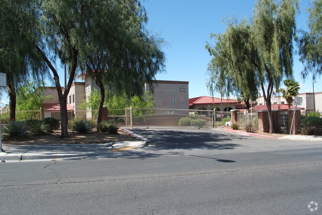
Property Record
1459 N Main St, Las Vegas, NV 89101

NEARBY LISTINGS FOR SALE OR LEASE
Property Detail
1459 N Main St
Las Vegas-Henderson-Paradise, NV
Parcel Map File 107 Page 96
139-27-502-021
PARCEL MAP FILE 107 PAGE 96 PT LOT 1
Apartment
Clark
X
Nevada
32003C2170F
1
2025
1.19 AC
2025
West Las Vegas
000403
Las Vegas
40,092 SF
DEMOGRAPHICS near 1459 N Main St
1 Mile
3 Mile
5 Mile
2024 Total Population
18,273
186,627
520,576
2029 Population
19,702
199,973
558,510
Pop Growth 2024-2029
+ 7.82%
+ 7.15%
+ 7.29%
Average Age
36
36
37
2024 Total Households
6,156
61,991
181,147
HH Growth 2024-2029
+ 7.94%
+ 7.26%
+ 7.39%
Median Household Inc
$24,301
$35,611
$41,631
Avg Household Size
2.70
2.80
2.80
2024 Avg HH Vehicles
1.00
1.00
2.00
Median Home Value
$202,189
$237,947
$261,974
Median Year Built
1975
1978
1983
Nearby Places
Map Layers
Map Styles
 Street
 Aerial
- Restaurants
- Banks
- Shops
- Fitness
- Groceries
PUBLIC TRANSPORTATION
AIRPORT
Harry Reid International
DRIVE
WALK
Distance
Harry Reid International
17 min
7.8 mi
Boulder City Municipal
DRIVE
WALK
Distance
Boulder City Municipal
36 min
26.9 mi
Freight Ports
Port of Long Beach
DRIVE
WALK
Distance
Port of Long Beach
318 min
285.1 mi
Nearby Properties
Address
Land Use
TOTAL SIZE
Lot Size
Zoning
Address
Land Use
TOTAL SIZE
Lot Size
Zoning
315,865 SF
19.85 AC
Address
Land Use
TOTAL SIZE
Lot Size
Zoning
79,707 SF
2.76 AC
Address
Land Use
TOTAL SIZE
Lot Size
Zoning
39,972 SF
3.04 AC
CV
Address
Land Use
TOTAL SIZE
Lot Size
Zoning
162,214 SF
4.32 AC
Address
Land Use
TOTAL SIZE
Lot Size
Zoning
162,501 SF
5.77 AC
C2
Address
Land Use
TOTAL SIZE
Lot Size
Zoning
1,617,320 SF
7.21 AC
PD
Address
Land Use
TOTAL SIZE
Lot Size
Zoning
2.79 AC
CV
Address
Land Use
TOTAL SIZE
Lot Size
Zoning
1,283,663 SF
8.56 AC
PD
Address
Land Use
TOTAL SIZE
Lot Size
Zoning
5.96 AC
C2
Address
Land Use
TOTAL SIZE
Lot Size
Zoning
44,418 SF
5.08 AC
PD
Address
Land Use
TOTAL SIZE
Lot Size
Zoning
80.45 AC
CV
Address
Land Use
TOTAL SIZE
Lot Size
Zoning
573,491 SF
38.94 AC
Address
Land Use
TOTAL SIZE
Lot Size
Zoning
34.83 AC
CV
Address
Land Use
TOTAL SIZE
Lot Size
Zoning
814,789 SF
13.75 AC
C1
Address
Land Use
TOTAL SIZE
Lot Size
Zoning
123,990 SF
2.18 AC
C2
Address
Land Use
TOTAL SIZE
Lot Size
Zoning
38.80 AC
CV
Address
Land Use
TOTAL SIZE
Lot Size
Zoning
724,845 SF
37.33 AC
M2
Address
Land Use
TOTAL SIZE
Lot Size
Zoning
64,229 SF
15.49 AC
Address
Land Use
TOTAL SIZE
Lot Size
Zoning
23,901 SF
5.25 AC
PD
Address
Land Use
TOTAL SIZE
Lot Size
Zoning
324 SF
8.74 AC
R1
Address
Land Use
TOTAL SIZE
Lot Size
Zoning
18,125 SF
2.14 AC
Address
Land Use
TOTAL SIZE
Lot Size
Zoning
88,160 SF
18.56 AC
Address
Land Use
TOTAL SIZE
Lot Size
Zoning
8.96 AC
L:PD
Address
Land Use
TOTAL SIZE
Lot Size
Zoning
53,435 SF
2.98 AC
C2
Address
Land Use
TOTAL SIZE
Lot Size
Zoning
1,608 SF
30.32 AC
RAPSP
Address
Land Use
TOTAL SIZE
Lot Size
Zoning
16,004 SF
4.19 AC
Address
Land Use
TOTAL SIZE
Lot Size
Zoning
6,396 SF
15.06 AC
Address
Land Use
TOTAL SIZE
Lot Size
Zoning
191,879 SF
12 AC
RACHE
Address
Land Use
TOTAL SIZE
Lot Size
Zoning
55,639 SF
6.13 AC
CV
The World's #1 Commercial Real Estate Marketplace
Connect with us
© 2025 CoStar Group
The information above has been obtained from sources believed reliable. While we do not doubt its accuracy we have not verified it and make no guarantee, warranty or representation about it. It is your responsibility to independently confirm its accuracy and completeness. Any projections, opinions, assumptions, or estimates used are for example only and do not represent the current or future performance of the property. The value of this transaction to you depends on tax and other factors which should be evaluated by your tax, financial, and legal advisors. You and your advisors should conduct a careful, independent investigation of the property to determine to your satisfaction the suitability of the property for your needs.