Property Record
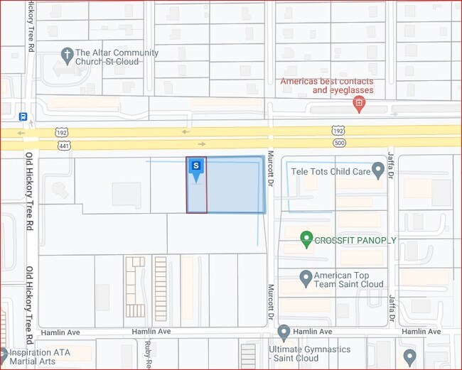
1460 E Irlo Bronson Memorial Hwy, Saint Cloud, FL 34771
NEARBY LISTINGS FOR SALE OR LEASE
Property Detail
1460 E Irlo Bronson Memorial Hwy
Orlando-Kissimmee-Sanford, FL
Industrial
07-26-31-0776-0001-0030
TRACT 1 REPLAT PB 28 PG 83 LOT 3 & A PORTION OF LOT 4: BEG AT SW COR OF LOT 3, N89-36-52E 128.64 FT TO NON-TAN CURVE, CONC NW, RAD 100 FT, CENT ANG 20 DEG, (CH BEARING N79-33-55E 34.90 FT), NELY ALONG CURVE 35.08 FT, N00-20-18W 298.92 FT TO S R/W LIN
Restaurantdrivein
Osceola
X
Florida
12097C0257G
3,4
2024
1.14 AC
2025
Osceola Outlying
043700
Orlando
3,198 SF
DEMOGRAPHICS near 1460 E Irlo Bronson Memorial Hwy
1 Mile
3 Mile
5 Mile
2024 Total Population
4,823
38,326
85,603
2029 Population
5,831
46,609
103,201
Pop Growth 2024-2029
+ 20.90%
+ 21.61%
+ 20.56%
Average Age
40
40
39
2024 Total Households
1,702
13,656
29,175
HH Growth 2024-2029
+ 20.80%
+ 21.42%
+ 20.41%
Median Household Inc
$72,856
$68,100
$69,893
Avg Household Size
2.80
2.80
2.90
2024 Avg HH Vehicles
2.00
2.00
2.00
Median Home Value
$350,747
$307,628
$313,745
Median Year Built
2005
1998
2003
Nearby Places
Map Layers
Map Styles
 Street
 Aerial
- Restaurants
- Banks
- Shops
- Fitness
- Groceries
PUBLIC TRANSPORTATION
AIRPORT
Orlando International
DRIVE
WALK
Distance
Orlando International
34 min
20.4 mi
Freight Ports
Port Canaveral
DRIVE
WALK
Distance
Port Canaveral
71 min
54.8 mi
Nearby Properties
Address
Land Use
TOTAL SIZE
Lot Size
Zoning
Address
Land Use
TOTAL SIZE
Lot Size
Zoning
313,120 SF
54.86 AC
SP
Address
Land Use
TOTAL SIZE
Lot Size
Zoning
118,121 SF
237.16 AC
SP
Address
Land Use
TOTAL SIZE
Lot Size
Zoning
185,953 SF
63.41 AC
SP
Address
Land Use
TOTAL SIZE
Lot Size
Zoning
77,928 SF
24.79 AC
SHB
Address
Land Use
TOTAL SIZE
Lot Size
Zoning
127,960 SF
14.40 AC
SPUD
Address
Land Use
TOTAL SIZE
Lot Size
Zoning
50,025 SF
4.45 AC
SP
Address
Land Use
TOTAL SIZE
Lot Size
Zoning
136,124 SF
14.46 AC
SAC
Address
Land Use
TOTAL SIZE
Lot Size
Zoning
55,521 SF
10.75 AC
SHB
Address
Land Use
TOTAL SIZE
Lot Size
Zoning
89,482 SF
4.82 AC
SPUD
Address
Land Use
TOTAL SIZE
Lot Size
Zoning
30,520 SF
5.94 AC
SHB
Address
Land Use
TOTAL SIZE
Lot Size
Zoning
159.30 AC
Address
Land Use
TOTAL SIZE
Lot Size
Zoning
13.38 AC
Address
Land Use
TOTAL SIZE
Lot Size
Zoning
60,211 SF
6.46 AC
SPUD
Address
Land Use
TOTAL SIZE
Lot Size
Zoning
44,380 SF
7.84 AC
SHB
Address
Land Use
TOTAL SIZE
Lot Size
Zoning
70,375 SF
4.58 AC
OAR2
Address
Land Use
TOTAL SIZE
Lot Size
Zoning
20,634 SF
4.55 AC
SHB
Address
Land Use
TOTAL SIZE
Lot Size
Zoning
57,600 SF
4.83 AC
SHB
Address
Land Use
TOTAL SIZE
Lot Size
Zoning
13,900 SF
3.90 AC
SI3
Address
Land Use
TOTAL SIZE
Lot Size
Zoning
50,570 SF
4.98 AC
SPUD
Address
Land Use
TOTAL SIZE
Lot Size
Zoning
99.81 AC
Address
Land Use
TOTAL SIZE
Lot Size
Zoning
14,234 SF
1.79 AC
SHB
Address
Land Use
TOTAL SIZE
Lot Size
Zoning
68,472 SF
0.80 AC
SCB1
Address
Land Use
TOTAL SIZE
Lot Size
Zoning
23,000 SF
3.09 AC
SI3
Address
Land Use
TOTAL SIZE
Lot Size
Zoning
48,306 SF
3.13 AC
SHB
Address
Land Use
TOTAL SIZE
Lot Size
Zoning
13,406 SF
33.31 AC
SP
Address
Land Use
TOTAL SIZE
Lot Size
Zoning
4,308 SF
1.84 AC
RM-2
Address
Land Use
TOTAL SIZE
Lot Size
Zoning
50,442 SF
13.86 AC
E-1
Address
Land Use
TOTAL SIZE
Lot Size
Zoning
35,838 SF
20.56 AC
SA
Address
Land Use
TOTAL SIZE
Lot Size
Zoning
13,712 SF
1.06 AC
SNB
Address
Land Use
TOTAL SIZE
Lot Size
Zoning
44,565 SF
7 AC
AC
The World's #1 Commercial Real Estate Marketplace
Connect with us
© 2026 CoStar Group
The information above has been obtained from sources believed reliable. While we do not doubt its accuracy we have not verified it and make no guarantee, warranty or representation about it. It is your responsibility to independently confirm its accuracy and completeness. Any projections, opinions, assumptions, or estimates used are for example only and do not represent the current or future performance of the property. The value of this transaction to you depends on tax and other factors which should be evaluated by your tax, financial, and legal advisors. You and your advisors should conduct a careful, independent investigation of the property to determine to your satisfaction the suitability of the property for your needs.