Property Record
14604 Fm Rr 548, Forney, TX 75126
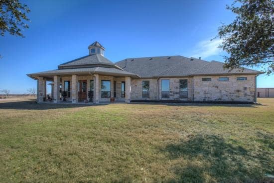

Property Detail
14604 Fm Rr 548
Dallas-Fort Worth-Arlington, TX
SAMUEL SMITH HRS, TRACT 75.01; 4.683 ACRES, & HOUSES
12973
KAUFMAN
Agriculturalland
Texas
B and X Area of moderate flood hazard, usually the area between the limits of the 100-year and 500-year floods.
60.26 AC
0
Mesquite/Forney/Terrell
2025
Dallas/Ft Worth
3,957 SF
NEARBY LISTINGS FOR SALE OR LEASE
DEMOGRAPHICS near 14604 Fm Rr 548
1 mile
3 mile
5 mile
2025 Total Population
11,918
54,552
92,528
2030 Population
15,522
70,769
119,890
Pop Growth 2025-2030
+ 30.24%
+ 29.73%
+ 29.57%
Average Age
32
33
34
2025 Total Households
3,924
16,789
28,104
HH Growth 2025-2030
+ 27.96%
+ 27.40%
+ 27.29%
Median Household Inc
$92,713
$105,398
$107,847
Avg Household Size
2.90
3.10
3.10
2025 Avg HH Vehicles
2.00
2.00
2.00
Median Home Value
$349,578
$365,681
$372,981
Median Year Built
2011
2010
2010
Nearby Places
Map Layers
Map Styles
 Street
 Aerial
Layers
 Traffic
 Biking
Places
Listings with unknown addresses are not visible on the map
- Restaurants
- Banks
- Shops
- Fitness
- Groceries
PUBLIC TRANSPORTATION
AIRPORT
Dallas Love Field
Drive
Walk
Distance
Dallas Love Field
42 min
28.6 mi
Freight Ports
Port of Shreveport
Drive
Walk
Distance
Port of Shreveport
190 min
175.8 mi
SALE & LEASE HISTORY
LISTING DATE
SALE/LEASE

Sep 06, 2017
For Sale
Nearby Properties
Address
Land Use
TOTAL SIZE
Lot Size
Zoning
Address
Land Use
TOTAL SIZE
Lot Size
Zoning
108.89 AC
Address
Land Use
TOTAL SIZE
Lot Size
Zoning
26,600 SF
227.43 AC
Address
Land Use
TOTAL SIZE
Lot Size
Zoning
1,214,840 SF
102.04 AC
Address
Land Use
TOTAL SIZE
Lot Size
Zoning
1,120,000 SF
79.53 AC
Address
Land Use
TOTAL SIZE
Lot Size
Zoning
167,350 SF
43.19 AC
Address
Land Use
TOTAL SIZE
Lot Size
Zoning
2,495 SF
46.30 AC
Address
Land Use
TOTAL SIZE
Lot Size
Zoning
48.16 AC
Address
Land Use
TOTAL SIZE
Lot Size
Zoning
44.92 AC
Address
Land Use
TOTAL SIZE
Lot Size
Zoning
411,440 SF
13 AC
Address
Land Use
TOTAL SIZE
Lot Size
Zoning
124,307 SF
121.73 AC
Address
Land Use
TOTAL SIZE
Lot Size
Zoning
13.42 AC
Address
Land Use
TOTAL SIZE
Lot Size
Zoning
371,550 SF
14.55 AC
Address
Land Use
TOTAL SIZE
Lot Size
Zoning
335,646 SF
14.80 AC
Address
Land Use
TOTAL SIZE
Lot Size
Zoning
621,874 SF
43.62 AC
Address
Land Use
TOTAL SIZE
Lot Size
Zoning
126,645 SF
19.94 AC
Address
Land Use
TOTAL SIZE
Lot Size
Zoning
10.13 AC
Address
Land Use
TOTAL SIZE
Lot Size
Zoning
14.08 AC
Address
Land Use
TOTAL SIZE
Lot Size
Zoning
174,630 SF
18.45 AC
Address
Land Use
TOTAL SIZE
Lot Size
Zoning
17.34 AC
Address
Land Use
TOTAL SIZE
Lot Size
Zoning
201,861 SF
17.80 AC
Address
Land Use
TOTAL SIZE
Lot Size
Zoning
Address
Land Use
TOTAL SIZE
Lot Size
Zoning
Address
Land Use
TOTAL SIZE
Lot Size
Zoning
8.60 AC
Address
Land Use
TOTAL SIZE
Lot Size
Zoning
54,780 SF
12.94 AC
Address
Land Use
TOTAL SIZE
Lot Size
Zoning
69,835 SF
10.45 AC
Address
Land Use
TOTAL SIZE
Lot Size
Zoning
201,375 SF
48.29 AC
Address
Land Use
TOTAL SIZE
Lot Size
Zoning
91,375 SF
12.95 AC
Address
Land Use
TOTAL SIZE
Lot Size
Zoning
73,674 SF
8.87 AC
Address
Land Use
TOTAL SIZE
Lot Size
Zoning
9.71 AC
Address
Land Use
TOTAL SIZE
Lot Size
Zoning
310,814 SF
50.06 AC
The World's #1 Commercial Real Estate Marketplace
Connect with us
© 2026 CoStar Group
The information above has been obtained from sources believed reliable. While we do not doubt its accuracy we have not verified it and make no guarantee, warranty or representation about it. It is your responsibility to independently confirm its accuracy and completeness. Any projections, opinions, assumptions, or estimates used are for example only and do not represent the current or future performance of the property. The value of this transaction to you depends on tax and other factors which should be evaluated by your tax, financial, and legal advisors. You and your advisors should conduct a careful, independent investigation of the property to determine to your satisfaction the suitability of the property for your needs.