Property Record
14608 S Us Highway 301 Hwy, Wimauma, FL 33598


NEARBY LISTINGS FOR SALE OR LEASE
-
-
View all Wimauma listings for sale on LoopNet.com
Property Detail
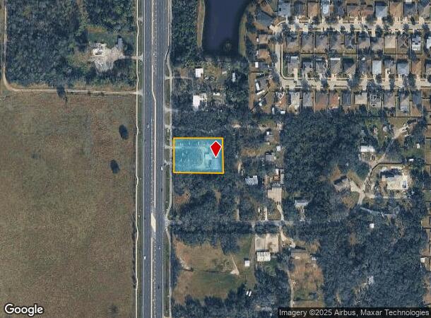
14608 S Us Highway 301 Hwy
Tampa-St. Petersburg-Clearwater, FL
Unplatted
U-29-31-20-ZZZ-000003-19380.0
N 171 FT OF S 382 FT OF W 382 FT OF NW 1/4 OF NW 1/4 AND LESS R/W
Religious
Hillsborough
X
Florida
12057C0515H
19380
2024
0.94 AC
2024
Eastern Outlying
013914
Tampa/St Petersburg
4,449 SF
DEMOGRAPHICS near 14608 S Us Highway 301 Hwy
1 Mile
3 Mile
5 Mile
2024 Total Population
7,725
65,396
149,153
2029 Population
8,728
73,366
166,559
Pop Growth 2024-2029
+ 12.98%
+ 12.19%
+ 11.67%
Average Age
39
40
42
2024 Total Households
2,660
23,015
54,373
HH Growth 2024-2029
+ 13.12%
+ 12.27%
+ 12.00%
Median Household Inc
$97,218
$92,159
$82,210
Avg Household Size
2.80
2.80
2.70
2024 Avg HH Vehicles
2.00
2.00
2.00
Median Home Value
$335,579
$299,004
$286,061
Median Year Built
2011
2010
2009
Nearby Places
Map Layers
Map Styles
 Street
 Aerial
- Restaurants
- Banks
- Shops
- Fitness
- Groceries
PUBLIC TRANSPORTATION
AIRPORT
Tampa International
DRIVE
WALK
Distance
Tampa International
43 min
28.5 mi
Sarasota/Bradenton International
DRIVE
WALK
Distance
Sarasota/Bradenton International
53 min
35.5 mi
St Pete-Clearwater International
DRIVE
WALK
Distance
St Pete-Clearwater International
60 min
37.7 mi
Freight Ports
Port of Tampa Bay
DRIVE
WALK
Distance
Port of Tampa Bay
30 min
18.2 mi
Nearby Properties
Address
Land Use
TOTAL SIZE
Lot Size
Zoning
Address
Land Use
TOTAL SIZE
Lot Size
Zoning
647,720 SF
68.52 AC
PD
Address
Land Use
TOTAL SIZE
Lot Size
Zoning
289,173 SF
54.08 AC
PD
Address
Land Use
TOTAL SIZE
Lot Size
Zoning
419,897 SF
18.09 AC
PD
Address
Land Use
TOTAL SIZE
Lot Size
Zoning
317,172 SF
36.54 AC
PD
Address
Land Use
TOTAL SIZE
Lot Size
Zoning
345,018 SF
15.43 AC
PD
Address
Land Use
TOTAL SIZE
Lot Size
Zoning
382,614 SF
23.72 AC
IPD-1
Address
Land Use
TOTAL SIZE
Lot Size
Zoning
334,871 SF
15 AC
PD
Address
Land Use
TOTAL SIZE
Lot Size
Zoning
154,232 SF
17.40 AC
PD
Address
Land Use
TOTAL SIZE
Lot Size
Zoning
1,583.93 AC
AR
Address
Land Use
TOTAL SIZE
Lot Size
Zoning
101,768 SF
17.94 AC
PD
Address
Land Use
TOTAL SIZE
Lot Size
Zoning
348,905 SF
20 AC
PD-MU
Address
Land Use
TOTAL SIZE
Lot Size
Zoning
441,257 SF
107.09 AC
AR
Address
Land Use
TOTAL SIZE
Lot Size
Zoning
138,397 SF
36.94 AC
PD
Address
Land Use
TOTAL SIZE
Lot Size
Zoning
102,925 SF
24.56 AC
PD
Address
Land Use
TOTAL SIZE
Lot Size
Zoning
64,248 SF
17.86 AC
PD
Address
Land Use
TOTAL SIZE
Lot Size
Zoning
67,026 SF
21.92 AC
PD
Address
Land Use
TOTAL SIZE
Lot Size
Zoning
68,942 SF
10.69 AC
PD
Address
Land Use
TOTAL SIZE
Lot Size
Zoning
113,296 SF
23.90 AC
PD
Address
Land Use
TOTAL SIZE
Lot Size
Zoning
75,207 SF
8.57 AC
PD
Address
Land Use
TOTAL SIZE
Lot Size
Zoning
81,193 SF
11.41 AC
PD
Address
Land Use
TOTAL SIZE
Lot Size
Zoning
79,150 SF
14.65 AC
PD
Address
Land Use
TOTAL SIZE
Lot Size
Zoning
138,316 SF
13.27 AC
PD
Address
Land Use
TOTAL SIZE
Lot Size
Zoning
75,470 SF
4.21 AC
PD
Address
Land Use
TOTAL SIZE
Lot Size
Zoning
113,683 SF
14.51 AC
PD
Address
Land Use
TOTAL SIZE
Lot Size
Zoning
629.86 AC
AR
Address
Land Use
TOTAL SIZE
Lot Size
Zoning
58,866 SF
1.80 AC
PD
Address
Land Use
TOTAL SIZE
Lot Size
Zoning
39,408 SF
5.77 AC
AR
Address
Land Use
TOTAL SIZE
Lot Size
Zoning
57,822 SF
47.69 AC
AR
Address
Land Use
TOTAL SIZE
Lot Size
Zoning
29,356 SF
2.79 AC
PD
Address
Land Use
TOTAL SIZE
Lot Size
Zoning
78,323 SF
7.19 AC
IPD-1
The World's #1 Commercial Real Estate Marketplace
Connect with us
© 2025 CoStar Group
The information above has been obtained from sources believed reliable. While we do not doubt its accuracy we have not verified it and make no guarantee, warranty or representation about it. It is your responsibility to independently confirm its accuracy and completeness. Any projections, opinions, assumptions, or estimates used are for example only and do not represent the current or future performance of the property. The value of this transaction to you depends on tax and other factors which should be evaluated by your tax, financial, and legal advisors. You and your advisors should conduct a careful, independent investigation of the property to determine to your satisfaction the suitability of the property for your needs.