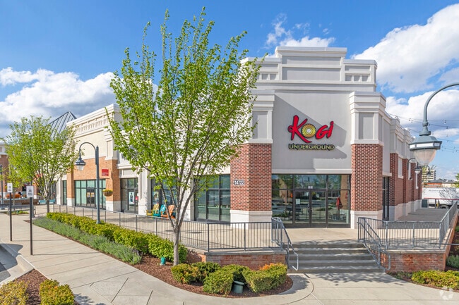
Property Record
14700 Baltimore Ave, Laurel, MD 20707

Property Detail
14700 Baltimore Ave
10-3098977
I
Storebuilding
Prince Georges
LAUR
Maryland
B and X Area of moderate flood hazard, usually the area between the limits of the 100-year and 500-year floods.
1
2024
23.04 AC
2025
Laurel
800108
Washington, DC
399,715 SF
Washington-Arlington-Alexandria, DC-VA-MD-WV
NEARBY LISTINGS FOR SALE OR LEASE
DEMOGRAPHICS near 14700 Baltimore Ave
1 mile
3 mile
5 mile
2025 Total Population
25,074
96,835
179,427
2030 Population
25,446
98,276
182,288
Pop Growth 2025-2030
+ 1.48%
+ 1.49%
+ 1.59%
Average Age
38
38
38
2025 Total Households
9,993
35,964
65,256
HH Growth 2025-2030
+ 1.48%
+ 1.46%
+ 1.59%
Median Household Inc
$80,594
$100,313
$107,735
Avg Household Size
2.40
2.60
2.70
2025 Avg HH Vehicles
2.00
2.00
2.00
Median Home Value
$381,901
$432,911
$452,978
Median Year Built
1981
1984
1986
Nearby Places
Map Layers
Map Styles
 Street
 Aerial
Layers
 Traffic
 Biking
Places
Listings with unknown addresses are not visible on the map
- Restaurants
- Banks
- Shops
- Fitness
- Groceries
PUBLIC TRANSPORTATION
COMMUTER RAIL
Drive
Walk
Distance
4 min
1.2 mi
Drive
Walk
Distance
8 min
2.4 mi
AIRPORT
Baltimore/Washington International Thurgood Marshall
Drive
Walk
Distance
Baltimore/Washington International Thurgood Marshall
26 min
15.1 mi
Ronald Reagan Washington Ntl
Drive
Walk
Distance
Ronald Reagan Washington Ntl
40 min
24.7 mi
Washington Dulles International
Drive
Walk
Distance
Washington Dulles International
64 min
41.1 mi
Freight Ports
Port of Baltimore
Drive
Walk
Distance
Port of Baltimore
32 min
21.5 mi
SALE & LEASE HISTORY
LISTING DATE
SALE/LEASE

Dec 16, 2016
For Lease
The World's #1 Commercial Real Estate Marketplace
Connect with us
© 2026 CoStar Group
The information above has been obtained from sources believed reliable. While we do not doubt its accuracy we have not verified it and make no guarantee, warranty or representation about it. It is your responsibility to independently confirm its accuracy and completeness. Any projections, opinions, assumptions, or estimates used are for example only and do not represent the current or future performance of the property. The value of this transaction to you depends on tax and other factors which should be evaluated by your tax, financial, and legal advisors. You and your advisors should conduct a careful, independent investigation of the property to determine to your satisfaction the suitability of the property for your needs.