Property Record
14733 S State Route 69, Mayer, AZ 86333

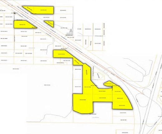
NEARBY LISTINGS FOR SALE OR LEASE
Property Detail
14733 S State Route 69
500-05-057
AN IRREG BAL PTN OF THE NE4 THE SE PCL COR LYING APPROX 330 FT N OF THE E4 COR OF SEC 15 STR 15-11N-2E CONT 4.11AC 4717/726
Residentialacreage
Yavapai
X
Arizona
04025C2878H
4.01 AC
2024
Prescott & Sedona
2026
Other Market Areas
001401
Prescott, AZ
DEMOGRAPHICS near 14733 S State Route 69
1 Mile
3 Mile
5 Mile
2024 Total Population
145
6,315
6,601
2029 Population
170
7,392
7,720
Pop Growth 2024-2029
+ 17.24%
+ 17.05%
+ 16.95%
Average Age
49
48
48
2024 Total Households
64
2,822
2,953
HH Growth 2024-2029
+ 18.75%
+ 17.51%
+ 17.41%
Median Household Inc
$37,500
$44,134
$44,088
Avg Household Size
2.20
2.10
2.10
2024 Avg HH Vehicles
2.00
2.00
2.00
Median Home Value
$169,444
$153,643
$153,886
Median Year Built
2004
2000
1999
Nearby Places
Map Layers
Map Styles
 Street
 Aerial
- Restaurants
- Banks
- Shops
- Fitness
- Groceries
SALE & LEASE HISTORY
LISTING DATE
SALE/LEASE

Sep 24, 2016
For Sale
Nearby Properties
Address
Land Use
TOTAL SIZE
Lot Size
Zoning
Address
Land Use
TOTAL SIZE
Lot Size
Zoning
23,845 SF
14.38 AC
Address
Land Use
TOTAL SIZE
Lot Size
Zoning
49,935 SF
80 AC
Address
Land Use
TOTAL SIZE
Lot Size
Zoning
71,502 SF
560 AC
Address
Land Use
TOTAL SIZE
Lot Size
Zoning
28,889 SF
27.05 AC
Address
Land Use
TOTAL SIZE
Lot Size
Zoning
8,817 SF
8.55 AC
Address
Land Use
TOTAL SIZE
Lot Size
Zoning
6,161 SF
0.49 AC
Address
Land Use
TOTAL SIZE
Lot Size
Zoning
19,172 SF
3.64 AC
Address
Land Use
TOTAL SIZE
Lot Size
Zoning
13,283 SF
2.86 AC
Address
Land Use
TOTAL SIZE
Lot Size
Zoning
11,540 SF
3.55 AC
Address
Land Use
TOTAL SIZE
Lot Size
Zoning
8,428 SF
5 AC
Address
Land Use
TOTAL SIZE
Lot Size
Zoning
8,989 SF
1.90 AC
Address
Land Use
TOTAL SIZE
Lot Size
Zoning
8,625 SF
2.78 AC
Address
Land Use
TOTAL SIZE
Lot Size
Zoning
8,268 SF
1.44 AC
Address
Land Use
TOTAL SIZE
Lot Size
Zoning
13,391 SF
2.14 AC
Address
Land Use
TOTAL SIZE
Lot Size
Zoning
3,619 SF
1.03 AC
Address
Land Use
TOTAL SIZE
Lot Size
Zoning
1,179 SF
4.66 AC
Address
Land Use
TOTAL SIZE
Lot Size
Zoning
3,280 SF
0.60 AC
Address
Land Use
TOTAL SIZE
Lot Size
Zoning
3,632 SF
0.56 AC
Address
Land Use
TOTAL SIZE
Lot Size
Zoning
4,500 SF
1.20 AC
Address
Land Use
TOTAL SIZE
Lot Size
Zoning
2,526 SF
0.23 AC
Address
Land Use
TOTAL SIZE
Lot Size
Zoning
3,072 SF
0.86 AC
Address
Land Use
TOTAL SIZE
Lot Size
Zoning
12,000 SF
0.82 AC
Address
Land Use
TOTAL SIZE
Lot Size
Zoning
2,718 SF
3.03 AC
Address
Land Use
TOTAL SIZE
Lot Size
Zoning
3,811 SF
1.95 AC
Address
Land Use
TOTAL SIZE
Lot Size
Zoning
3,924 SF
0.42 AC
Address
Land Use
TOTAL SIZE
Lot Size
Zoning
8,989 SF
4.92 AC
Address
Land Use
TOTAL SIZE
Lot Size
Zoning
416 SF
53.44 AC
Address
Land Use
TOTAL SIZE
Lot Size
Zoning
3,000 SF
0.20 AC
Address
Land Use
TOTAL SIZE
Lot Size
Zoning
2,961 SF
1.67 AC
The World's #1 Commercial Real Estate Marketplace
Connect with us
© 2026 CoStar Group
The information above has been obtained from sources believed reliable. While we do not doubt its accuracy we have not verified it and make no guarantee, warranty or representation about it. It is your responsibility to independently confirm its accuracy and completeness. Any projections, opinions, assumptions, or estimates used are for example only and do not represent the current or future performance of the property. The value of this transaction to you depends on tax and other factors which should be evaluated by your tax, financial, and legal advisors. You and your advisors should conduct a careful, independent investigation of the property to determine to your satisfaction the suitability of the property for your needs.